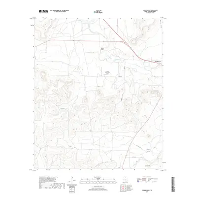
2019 Map of Cumbie Draw
USGS Topo · Published 2019About this map
Sterling City serves as the focal point of this Sterling County landscape, situated where the N Concho River and Sterling Cr meet. The terrain is characterized by a series of prominent drainage systems, most notably Cumbie Draw, Cobb Draw, and Bodcaw Draw, which carve through the high plains. This 2019 survey documents the rural infrastructure of the region, including two local landing strips: Wildcat Airport and Mc Entire's Lazy V Ranch Airport. To the south, Foster Cem and James Hollow provide specific points of interest for genealogists tracing local families. The presence of the WH Reed Reservoir at the northern edge indicates the vital importance of water management in this arid stretch of West Texas where intermittent creeks like Lacy Cr define the land's contours.
Find a feature on this map
22 named features on this map. Tap any name to fly to it.
Don’t see what you’re looking for? This feature index may not catch every label — zoom into the map to look around manually.
Map Details
Editions of this 2019 Cumbie Draw Map
This is the sole edition of this map. No revisions or reprints were ever made.
Other maps of this area

1954 · San Angelo
USGS Topo · 1:250,000

1958 · San Angelo
USGS Topo · 1:250,000

1963 · Cumbie Draw
USGS Topo · 1:24,000

1963 · Glass Ranch
USGS Topo · 1:24,000

1963 · Cumbie Draw NE
USGS Topo · 1:24,000
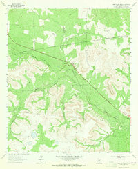
1963 · Sand Bluff Draw
USGS Topo · 1:24,000

1965 · San Angelo
USGS Topo · 1:250,000

1972 · Sterling City
USGS Topo · 1:24,000
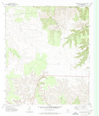
1972 · Sterling City NW
USGS Topo · 1:24,000

1972 · Dog Creek NW
USGS Topo · 1:24,000