Old Maps of Aspermont, Texas
Explore 15 old maps of Aspermont, spanning from 1931 to today. These high-resolution historic maps reveal how streets, neighborhoods, landmarks, and natural features evolved over time — perfect for genealogy, metal detecting, research, and local history exploration.
What you can do with these maps:
- See how Aspermont changed over time: Compare historical maps to modern-day views to trace roads, homesites, rail lines & more.
- View detailed metadata: Each map includes creators, publishers, year, scale, and archive source.
- Overlay maps with satellite & LiDAR: Visualize the past alongside modern tools to explore terrain & human change.
- Trusted historical sources: Maps sourced from the USGS, Library of Congress, and other archives.
- Access maps your way: View online, download high-res files, or order prints for personal or research use.
Start exploring old maps of Aspermont to uncover forgotten places, hidden landmarks, and the deep history beneath your feet.
Aspermont, TX maps
(15)- 1931 Map of Aspermont
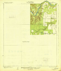 1931 Aspermont1931 Print · USGSStonewall County in the mid-1920s was a landscape of river breaks and quiet prairie crossroads. You can trace early family settlements and rural life through named landmarks like Old Glory, Grand View Ch, and the many river crossings such as Redhorse Crossing.2 unique versions available
 - 1954 Map of Lubbock, 1958 Print
 1954 Lubbock1958 Print · USGSThe High Plains and Caprock region of West Texas come alive in the mid-1950s, showing a landscape defined by oil discovery and the Brazos River headwaters. Genealogists and historians can trace rail-connected towns like Roaring Springs, find the Pleasant Valley church, or locate family-named landmarks such as Soldier Mound.4 unique versions available
 - 1968 Map of Aspermont, 1972 Print
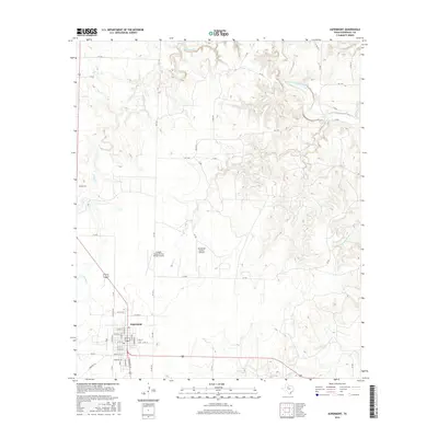
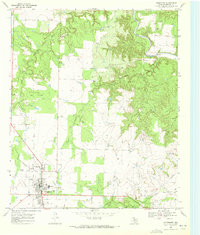 1968 Aspermont1972 Print · USGSAspermont sits at the intersection of West Texas ranching and the petroleum industry during the late sixties. Researchers can trace the town's development through its High Sch and Rodeo Ground or locate the Shadle Cem and the Boyd Oil Field.
 - 1969 Map of Aspermont Lake, 1972 Print
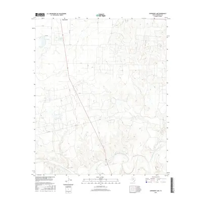
 1969 Aspermont Lake1972 Print · USGSStonewall County at the end of the sixties reveals a landscape shaped by petroleum and the winding Brazos River. Trace the development of Frankirk Oil Field, find the old Aspermont Landing Field, and locate family landmarks near Guest.2 unique versions available
 - 1985 Map of Aspermont, 1994 Print
 1985 Aspermont1994 Print · USGSStonewall and Kent counties are shown in the mid-1980s as the river-cut plains of West Texas supported scattered ranching and oil communities. Genealogists and historians can trace the Railroad Grade and locate smaller locales like Old Glory and Girard.
 - 2010 Map of Aspermont, 2010 Print
 2010 Aspermont2010 Print · USGSCovers Aspermont, including Stonewall County, United States, and other nearby areas
 - 2010 Map of Aspermont Lake, 2010 Print
 2010 Aspermont Lake2010 Print · USGSCovers Aspermont, including Stonewall County, United States, and other nearby areas
 - 2012 Map of Aspermont Lake, 2012 Print
 2012 Aspermont Lake2012 Print · USGSCovers Aspermont, including Stonewall County, United States, and other nearby areas
 - 2012 Map of Aspermont, 2012 Print
 2012 Aspermont2012 Print · USGSCovers Aspermont, including Stonewall County, United States, and other nearby areas
 - 2016 Map of Aspermont, 2016 Print
 2016 Aspermont2016 Print · USGSCovers Aspermont, including Stonewall County, United States, and other nearby areas
 - 2016 Map of Aspermont Lake, 2016 Print
 2016 Aspermont Lake2016 Print · USGSCovers Aspermont, including Stonewall County, United States, and other nearby areas
 - 2019 Map of Aspermont, 2019 Print
 2019 Aspermont2019 Print · USGSCovers Aspermont, including Stonewall County, United States, and other nearby areas
 - 2019 Map of Aspermont Lake, 2019 Print
 2019 Aspermont Lake2019 Print · USGSCovers Aspermont, including Stonewall County, United States, and other nearby areas
 - 2022 Map of Aspermont Lake, 2022 Print
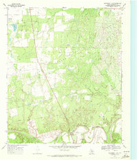
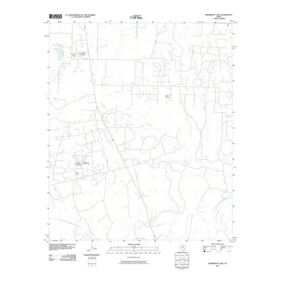
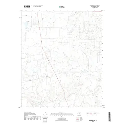
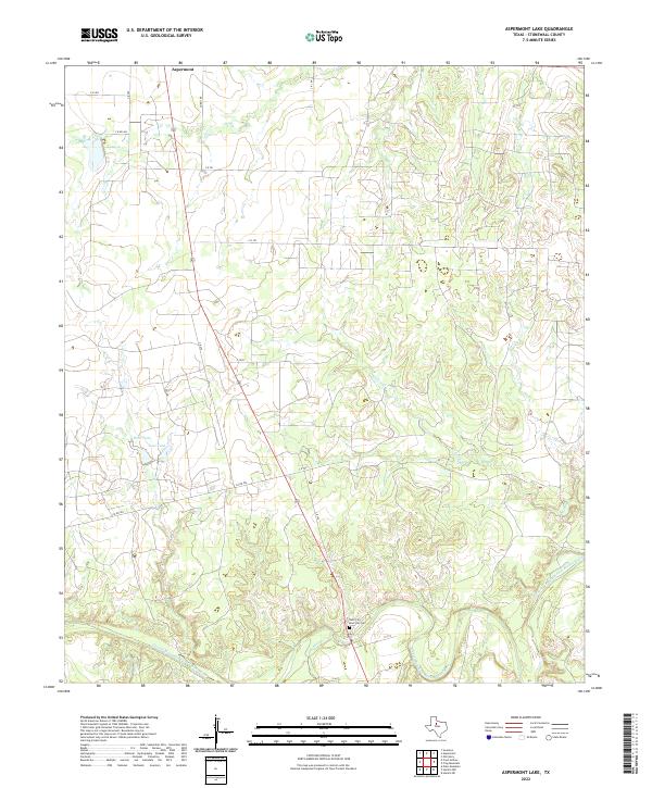 2022 Aspermont Lake2022 Print · USGSStonewall County's ranching and frontier heritage are preserved here in this recent survey of the Texas Rolling Plains. Genealogists and historians can locate Rath City, the Boot Hill Cem, and the southern outskirts of Aspermont along the Double Mountain Fork Brazos River.
 - 2022 Map of Aspermont, 2022 Print
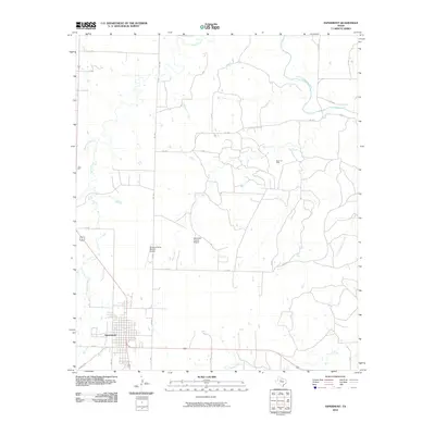
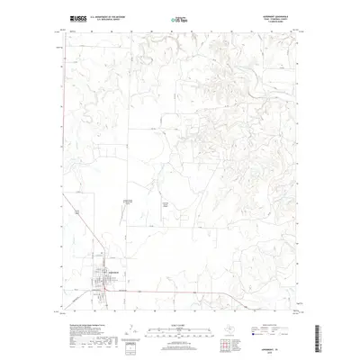
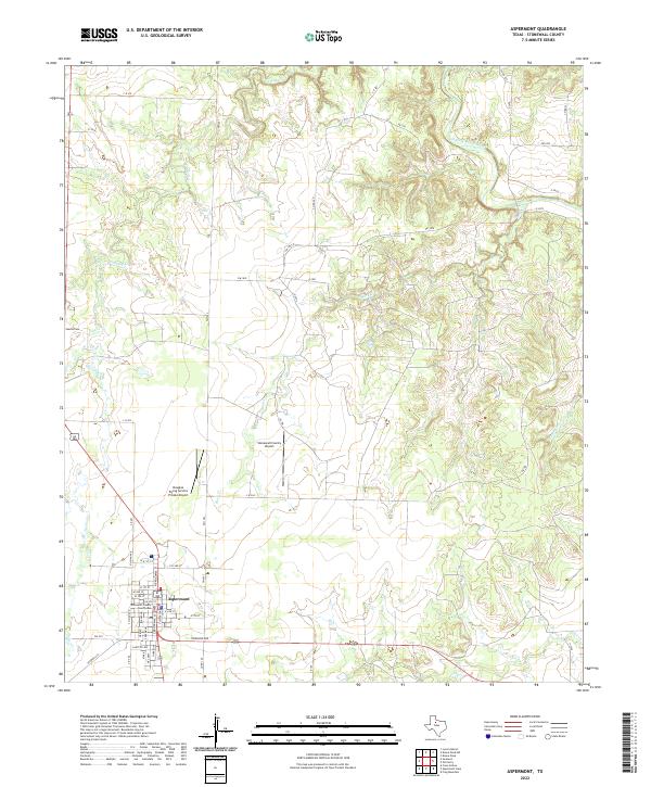 2022 Aspermont2022 Print · USGSAspermont serves as the rural heart of Stonewall County in the early twenty-first century. Researchers can trace the town grid around the Stonewall County Courthouse or locate family sites near Shadle Cem and Stinking Cr.
End of results
Showing maps 1-15 of 15
Frequently asked questions
- What are the different types of historical maps available for Aspermont?
- What is the oldest map of Aspermont?
- Where can I purchase historical maps of Aspermont for my home or office?
- Where can I download high-res historical maps of Aspermont?
- Are there historical topographic maps available for Aspermont?
- Is there historical aerial imagery available for Aspermont?
- Where are historical maps of Aspermont sourced from?