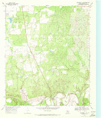
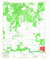
1969 Map of Aspermont Lake
USGS Topo · Published 1972About this map
Aspermont Lake and the surrounding Stonewall County landscape are defined by a mix of petroleum extraction and the winding course of the Double Mountain Fork Brazos River. This 1960s-era survey illustrates an economy transitioning between cattle ranching and heavy oil production, with large-scale operations like the Frankirk Oil Field and Flowers Field dominating the terrain north of the river. The southern edge of the quadrangle is marked by the river's deep meanders and the local landmark known as Mountain.
Find a feature on this map
18 named features on this map. Tap any name to fly to it.
Don’t see what you’re looking for? This feature index may not catch every label — zoom into the map to look around manually.
Map Details
Editions of this 1969 Aspermont Lake Map
2 editions found
Other maps of this area

1893 · Roby
USGS Topo · 1:125,000

1925 · Aspermont 4-a
USGS Topo · 1:48,000

1931 · Rotan
USGS Topo · 1:62,500

1931 · Aspermont
USGS Topo · 1:62,500

1954 · Lubbock
USGS Topo · 1:250,000

1954 · Big Spring
USGS Topo · 1:250,000

1958 · Big Spring
USGS Topo · 1:250,000
1962 · Frog Mountain
USGS Topo · 1:24,000
1965 · Hamlin NE
USGS Topo · 1:24,000
1965 · Hamlin NW
USGS Topo · 1:24,000