
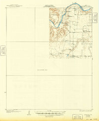
1931 Map of Aspermont
USGS Topo · Published 1931About this map
The Salt Fork of the Brazos River carves a deep, winding path through this corner of Stonewall County, Texas, as it appeared in the mid-1920s. This preliminary edition, compiled in part from Air Service aerial photographs, documents a rural landscape defined by river crossings and small schoolhouses that served as community hubs. While much of the quadrangle remains an unsurveyed area, the eastern portion detail is dense with evidence of early 20th-century settlement patterns.
Find a feature on this map
12 named features on this map. Tap any name to fly to it.
Don’t see what you’re looking for? This feature index may not catch every label — zoom into the map to look around manually.
Map Details
Editions of this 1931 Aspermont Map
2 editions found
Other maps of this area

1891 · Anson
USGS Topo · 1:125,000

1893 · Roby
USGS Topo · 1:125,000

1893 · Anson
USGS Topo · 1:125,000

1925 · Aspermont 4-a
USGS Topo · 1:48,000

1925 · Haskell 3-b
USGS Topo · 1:48,000

1931 · Rotan
USGS Topo · 1:62,500

1954 · Lubbock
USGS Topo · 1:250,000

1954 · Big Spring
USGS Topo · 1:250,000

1954 · Abilene
USGS Topo · 1:250,000

1954 · Wichita Falls
USGS Topo · 1:250,000