2000s (21st Century) Maps of Forest Hill, Texas
Explore 10 historic maps of Forest Hill from the 2000s (21st Century). These maps offer a rare glimpse into what life looked like during the 2000s — showing old roads, neighborhoods, homes, and landmarks that have changed or disappeared over time.
Whether you're researching your family's past, planning a metal detecting trip, or studying how Forest Hill's landscape evolved across the 2000s, these high-resolution maps are a powerful tool for exploring the history of this region.
- Focus on a specific era: All maps on this page are from the 2000s, giving you a focused view of this time period.
- See what’s changed: Compare century-old streets, trails, and buildings to today's modern landscape using overlays and satellite layers.
- Research with precision: Use these maps for genealogy, historical research, land use analysis, or educational projects.
- View, download, or print: Maps are fully viewable online in high resolution, and can be downloaded or printed for your own records.
Start exploring Forest Hill's history through authentic maps from the 2000s. This is your window into the past.
Forest Hill, TX maps
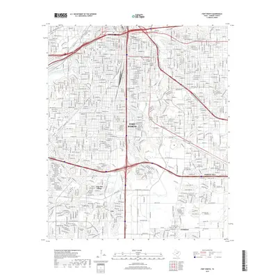
(10)- 2010 Map of Fort Worth, 2010 Print
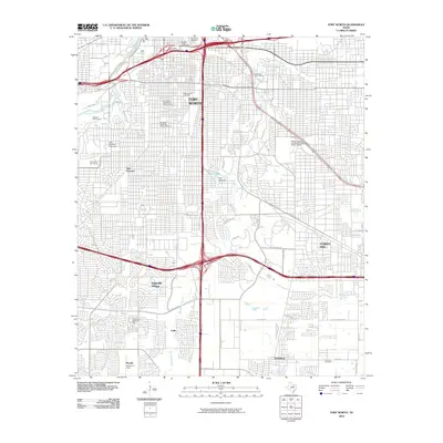 2010 Fort Worth2010 Print · USGSCovers Forest Hill, including Fort Worth, Everman, and other nearby areas
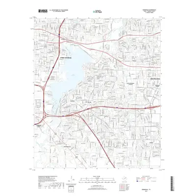
 - 2010 Map of Kennedale, 2010 Print
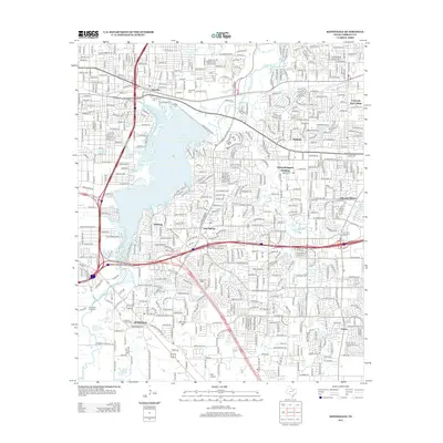
 2010 Kennedale2010 Print · USGSCovers Forest Hill, including Fort Worth, Arlington, and other nearby areas
 - 2012 Map of Fort Worth, 2012 Print
 2012 Fort Worth2012 Print · USGSCovers Forest Hill, including Fort Worth, Everman, and other nearby areas
 - 2012 Map of Kennedale, 2012 Print
 2012 Kennedale2012 Print · USGSCovers Forest Hill, including Fort Worth, Arlington, and other nearby areas
 - 2016 Map of Fort Worth, 2016 Print
 2016 Fort Worth2016 Print · USGSCovers Forest Hill, including Fort Worth, Everman, and other nearby areas
 - 2016 Map of Kennedale, 2016 Print
 2016 Kennedale2016 Print · USGSCovers Forest Hill, including Fort Worth, Arlington, and other nearby areas
 - 2019 Map of Fort Worth, 2019 Print
 2019 Fort Worth2019 Print · USGSCovers Forest Hill, including Fort Worth, Everman, and other nearby areas
 - 2019 Map of Kennedale, 2019 Print
 2019 Kennedale2019 Print · USGSCovers Forest Hill, including Fort Worth, Arlington, and other nearby areas
 - 2022 Map of Kennedale, 2022 Print
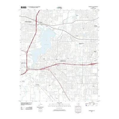
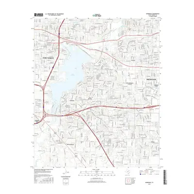
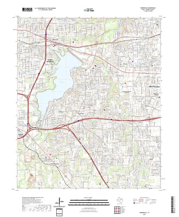 2022 Kennedale2022 Print · USGSThe suburban landscape between Fort Worth and Arlington is captured here during a period of modern expansion. Genealogists can trace early settler roots at the Noah Cem, Tate Cem, and Johnson Station Cem.
 - 2022 Map of Fort Worth, 2022 Print
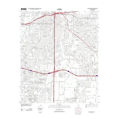
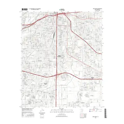
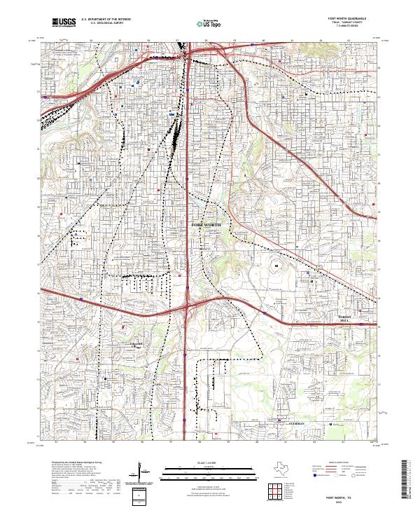 2022 Fort Worth2022 Print · USGSFort Worth and its southern suburbs appear here in the early twenty-first century as a sprawling network of universities and transit corridors. Researchers can locate numerous historic burial grounds including Hebrew Rest Cem and Polytechnic Cem, or trace the grounds of Texas Christian University.
End of results
Showing maps 1-10 of 10
Top cities near Forest Hill
- Fort Worth historical maps
- Arlington historical maps
- Grand Prairie historical maps
- North Richland Hills historical maps
- Mansfield historical maps
- Euless historical maps
See more
Frequently asked questions
- What are the different types of historical maps available for Forest Hill?
- What is the oldest map of Forest Hill?
- Where can I purchase historical maps of Forest Hill for my home or office?
- Where can I download high-res historical maps of Forest Hill?
- Are there historical topographic maps available for Forest Hill?
- Is there historical aerial imagery available for Forest Hill?
- Where are historical maps of Forest Hill sourced from?