Old Maps of Abilene, Texas
Explore 19 old maps of Abilene, spanning from 1890 to today. These high-resolution historic maps reveal how streets, neighborhoods, landmarks, and natural features evolved over time — perfect for genealogy, metal detecting, research, and local history exploration.
What you can do with these maps:
- See how Abilene changed over time: Compare historical maps to modern-day views to trace roads, homesites, rail lines & more.
- View detailed metadata: Each map includes creators, publishers, year, scale, and archive source.
- Overlay maps with satellite & LiDAR: Visualize the past alongside modern tools to explore terrain & human change.
- Trusted historical sources: Maps sourced from the USGS, Library of Congress, and other archives.
- Access maps your way: View online, download high-res files, or order prints for personal or research use.
Start exploring old maps of Abilene to uncover forgotten places, hidden landmarks, and the deep history beneath your feet.
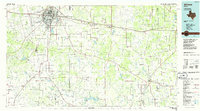
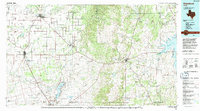
Abilene, TX maps
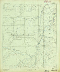
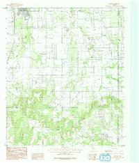
(19)- 1890 Map of Abilene, 1955 Print
 1890 Abilene1955 Print · USGSCovers Abilene, including Clyde, Merkel, and other nearby areas
 - 1891 Map of Anson
 1891 Anson1891 Print · USGSCovers Abilene, including Stamford, Anson, and other nearby areas
 - 1892 Map of Abilene
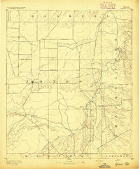
 1892 Abilene1892 Print · USGSCovers Abilene, including Clyde, Merkel, and other nearby areas5 unique versions available
 - 1893 Map of Anson
 1893 Anson1893 Print · USGSCovers Abilene, including Stamford, Anson, and other nearby areas5 unique versions available
 - 1954 Map of Abilene, 1966 Print
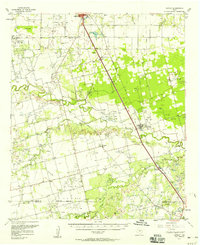
 1954 Abilene1966 Print · USGSCovers Abilene, including Mineral Wells, Stephenville, and other nearby areas2 unique versions available
 - 1957 Map of Hawley, 1958 Print
 1957 Hawley1958 Print · USGSCovers Abilene, including Anson, Hawley, and other nearby areas
 - 1957 Map of Kirby Lake, 1958 Print
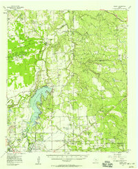
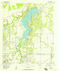
 1957 Kirby Lake1958 Print · USGSCovers Abilene, including Clyde, Impact, and other nearby areas2 unique versions available
 - 1957 Map of Abilene West, 1958 Print
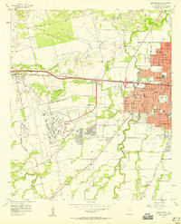 1957 Abilene West1958 Print · USGSCovers Abilene, including Tye, Impact, and other nearby areas5 unique versions available
 - 1957 Map of Abilene East, 1958 Print
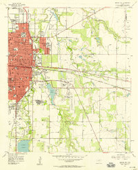 1957 Abilene East1958 Print · USGSCovers Abilene, including Impact, Elmdale, and other nearby areas4 unique versions available
 - 1957 Map of Nugent, 1958 Print
 1957 Nugent1958 Print · USGSCovers Abilene, including Impact, Nugent, and other nearby areas
 - 1957 Map of Hawley, 1958 Print
 1957 Hawley1958 Print · USGSCovers Abilene, including Hawley, Impact, and other nearby areas4 unique versions available
 - 1957 Map of Hamby, 1958 Print
 1957 Hamby1958 Print · USGSCovers Abilene, including Impact, Hamby, and other nearby areas4 unique versions available
 - 1957 Map of Buffalo Gap, 1958 Print
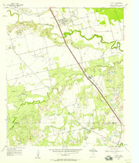
 1957 Buffalo Gap1958 Print · USGSCovers Abilene, including Merkel, Tye, and other nearby areas2 unique versions available
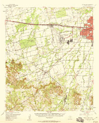
 - 1958 Map of Abilene
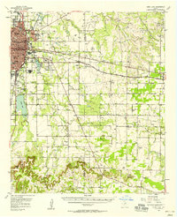
 1958 Abilene1958 Print · USGSCovers Abilene, including Mineral Wells, Stephenville, and other nearby areas
 - 1984 Map of Flattop
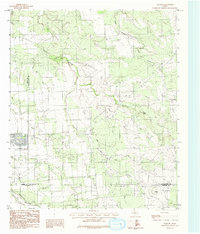 1984 Flattop1984 Print · USGSCovers Abilene, including Jones County, Callahan County, and other nearby areas
 - 1984 Map of Buffalo Gap
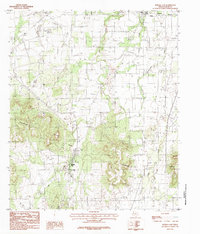 1984 Buffalo Gap1984 Print · USGSCovers Abilene, including Buffalo Gap, Caps, and other nearby areas2 unique versions available
 - 1984 Map of Potosi, 1992 Print
 1984 Potosi1992 Print · USGSCovers Abilene, including Potosi, Taylor County, and other nearby areas
 - 1985 Map of Abilene, 1986 Print
 1985 Abilene1986 Print · USGSCovers Abilene, including Clyde, Cisco, and other nearby areas2 unique versions available
 - 1985 Map of Stamford, 1992 Print
 1985 Stamford1992 Print · USGSCovers Abilene, including Stamford, Anson, and other nearby areas
End of results
Showing maps 1-19 of 19
Top cities near Abilene
- Clyde historical maps
- Tye historical maps
- Hawley historical maps
- Buffalo Gap historical maps
- Impact historical maps
Top neighborhoods of Abilene
Frequently asked questions
- What are the different types of historical maps available for Abilene?
- What is the oldest map of Abilene?
- Where can I purchase historical maps of Abilene for my home or office?
- Where can I download high-res historical maps of Abilene?
- Are there historical topographic maps available for Abilene?
- Is there historical aerial imagery available for Abilene?
- Where are historical maps of Abilene sourced from?