2000s (21st Century) Maps of Impact, Texas
Explore 20 historic maps of Impact from the 2000s (21st Century). These maps offer a rare glimpse into what life looked like during the 2000s — showing old roads, neighborhoods, homes, and landmarks that have changed or disappeared over time.
Whether you're researching your family's past, planning a metal detecting trip, or studying how Impact's landscape evolved across the 2000s, these high-resolution maps are a powerful tool for exploring the history of this region.
- Focus on a specific era: All maps on this page are from the 2000s, giving you a focused view of this time period.
- See what’s changed: Compare century-old streets, trails, and buildings to today's modern landscape using overlays and satellite layers.
- Research with precision: Use these maps for genealogy, historical research, land use analysis, or educational projects.
- View, download, or print: Maps are fully viewable online in high resolution, and can be downloaded or printed for your own records.
Start exploring Impact's history through authentic maps from the 2000s. This is your window into the past.
Impact, TX maps
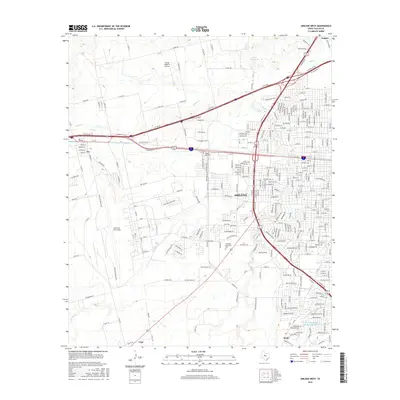
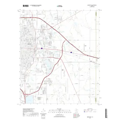
(20)- 2010 Map of Abilene West, 2010 Print
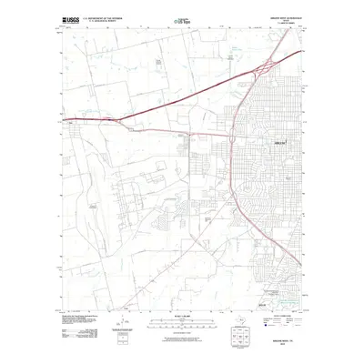 2010 Abilene West2010 Print · USGSCovers Impact, including Abilene, Tye, and other nearby areas
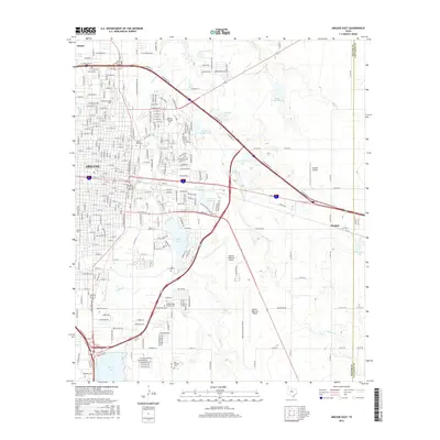
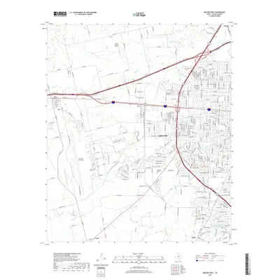
 - 2010 Map of Abilene East, 2010 Print
 2010 Abilene East2010 Print · USGSCovers Impact, including Abilene, Elmdale, and other nearby areas
 - 2010 Map of Hawley, 2010 Print
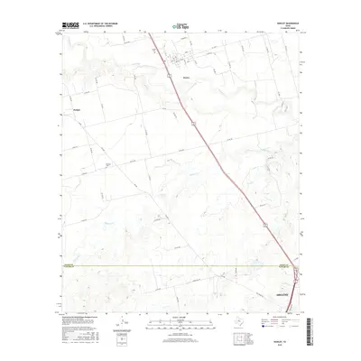
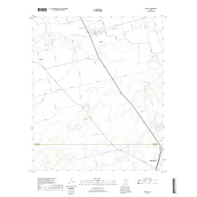
 2010 Hawley2010 Print · USGSCovers Impact, including Abilene, Hawley, and other nearby areas
 - 2010 Map of Hamby, 2010 Print
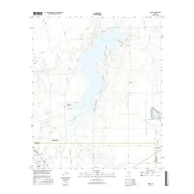
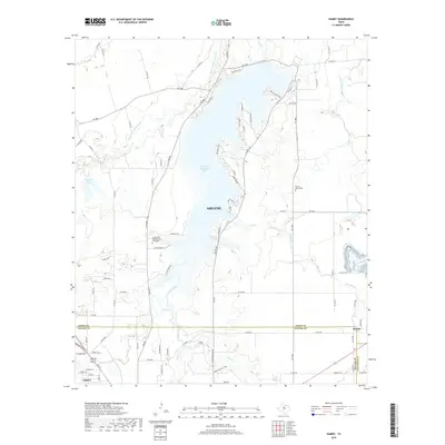
 2010 Hamby2010 Print · USGSCovers Impact, including Abilene, Hamby, and other nearby areas
 - 2012 Map of Hamby, 2012 Print
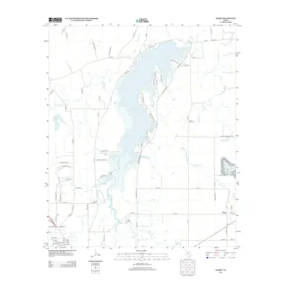 2012 Hamby2012 Print · USGSCovers Impact, including Abilene, Hamby, and other nearby areas
 - 2012 Map of Hawley, 2012 Print
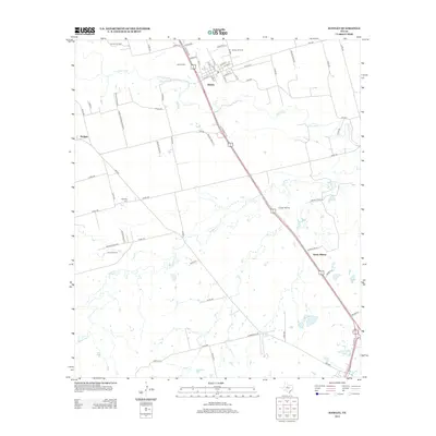 2012 Hawley2012 Print · USGSCovers Impact, including Abilene, Hawley, and other nearby areas
 - 2012 Map of Abilene West, 2012 Print
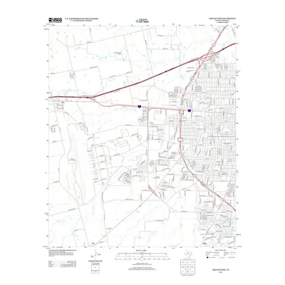 2012 Abilene West2012 Print · USGSCovers Impact, including Abilene, Tye, and other nearby areas
 - 2012 Map of Abilene East, 2012 Print
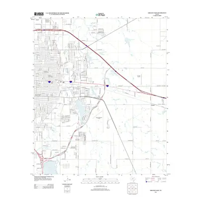 2012 Abilene East2012 Print · USGSCovers Impact, including Abilene, Elmdale, and other nearby areas
 - 2016 Map of Hamby, 2016 Print
 2016 Hamby2016 Print · USGSCovers Impact, including Abilene, Hamby, and other nearby areas
 - 2016 Map of Abilene West, 2016 Print
 2016 Abilene West2016 Print · USGSCovers Impact, including Abilene, Tye, and other nearby areas
 - 2016 Map of Hawley, 2016 Print
 2016 Hawley2016 Print · USGSCovers Impact, including Abilene, Hawley, and other nearby areas
 - 2016 Map of Abilene East, 2016 Print
 2016 Abilene East2016 Print · USGSCovers Impact, including Abilene, Elmdale, and other nearby areas
 - 2019 Map of Hamby, 2019 Print
 2019 Hamby2019 Print · USGSCovers Impact, including Abilene, Hamby, and other nearby areas
 - 2019 Map of Abilene East, 2019 Print
 2019 Abilene East2019 Print · USGSCovers Impact, including Abilene, Elmdale, and other nearby areas
 - 2019 Map of Hawley, 2019 Print
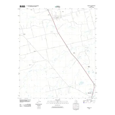
 2019 Hawley2019 Print · USGSCovers Impact, including Abilene, Hawley, and other nearby areas
 - 2019 Map of Abilene West, 2019 Print
 2019 Abilene West2019 Print · USGSCovers Impact, including Abilene, Tye, and other nearby areas
 - 2022 Map of Abilene West, 2022 Print
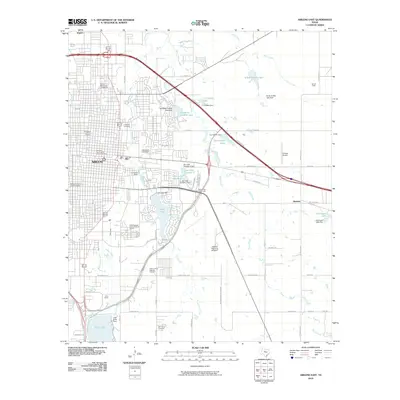
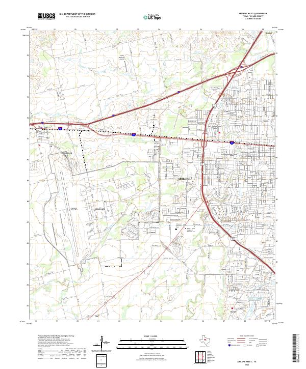 2022 Abilene West2022 Print · USGSAbilene and the surrounding Taylor County plains appear in the early 2020s as a hub of military aviation and modern commerce. Trace the layout of Dyess Air Force Base, find family roots at Little Elm Cem, or explore the environs of Impact.
 - 2022 Map of Hamby, 2022 Print
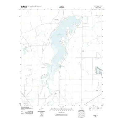
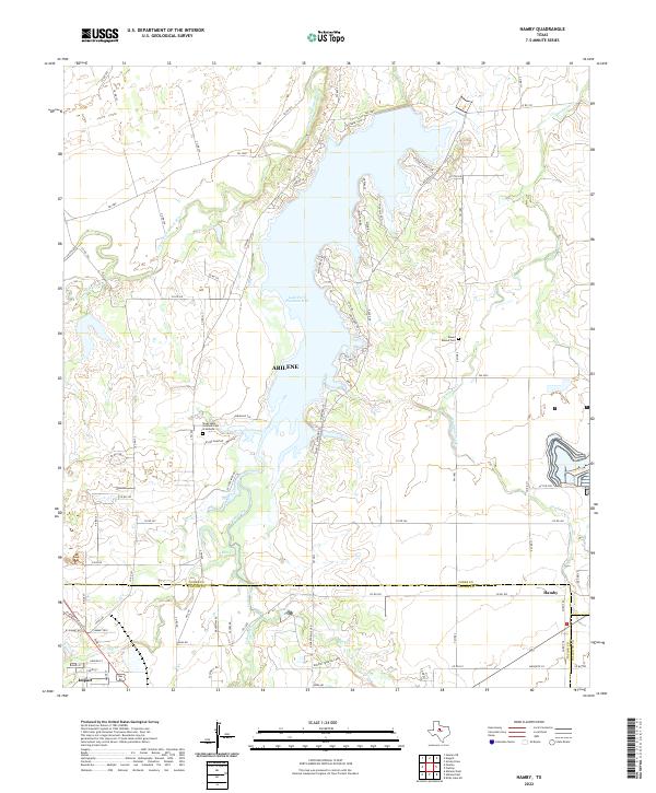 2022 Hamby2022 Print · USGSNorthern Jones County and the Abilene fringe are shown here in the 2020s, centered on the waters of Lake Fort Phantom Hill. Researchers can locate Round Mound Cem, the Texas State Veteran's Cem at Abilene, and the small community of Hamby.
 - 2022 Map of Hawley, 2022 Print
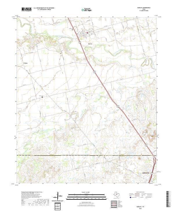 2022 Hawley2022 Print · USGSJones and Taylor counties are captured in the early 2020s, showing the rural transitions between Hawley and the outskirts of Abilene. Genealogists can trace local burials at Hawley Cem and Midway Cem along the Clear Fork Brazos River.
 - 2022 Map of Abilene East, 2022 Print
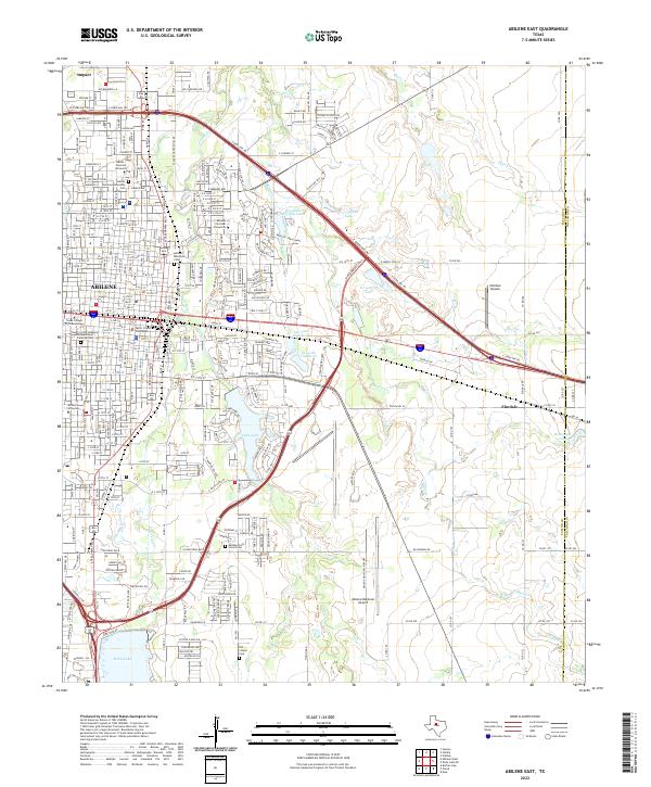 2022 Abilene East2022 Print · USGSAbilene and its eastern suburbs are shown in great detail in this 2020s study of the Texas Big Country. Genealogists can trace family landmarks like the Old Colony Cem while researchers locate the campuses of Hardin-Simmons University and McMurry University.
End of results
Showing maps 1-20 of 20
Top cities near Impact
- Abilene historical maps
- Clyde historical maps
- Tye historical maps
- Hawley historical maps
- Buffalo Gap historical maps
Frequently asked questions
- What are the different types of historical maps available for Impact?
- What is the oldest map of Impact?
- Where can I purchase historical maps of Impact for my home or office?
- Where can I download high-res historical maps of Impact?
- Are there historical topographic maps available for Impact?
- Is there historical aerial imagery available for Impact?
- Where are historical maps of Impact sourced from?