Old Maps of Abilene, Texas
Explore 54 old maps of Abilene, spanning from 1890 to today. These high-resolution historic maps reveal how streets, neighborhoods, landmarks, and natural features evolved over time — perfect for genealogy, metal detecting, research, and local history exploration.
What you can do with these maps:
- See how Abilene changed over time: Compare historical maps to modern-day views to trace roads, homesites, rail lines & more.
- View detailed metadata: Each map includes creators, publishers, year, scale, and archive source.
- Overlay maps with satellite & LiDAR: Visualize the past alongside modern tools to explore terrain & human change.
- Trusted historical sources: Maps sourced from the USGS, Library of Congress, and other archives.
- Access maps your way: View online, download high-res files, or order prints for personal or research use.
Start exploring old maps of Abilene to uncover forgotten places, hidden landmarks, and the deep history beneath your feet.
Abilene, TX maps
(54)- 1890 Map of Abilene, 1955 Print
 1890 Abilene1955 Print · USGSWest Texas ranching country and rail settlements come alive in the 1890s as the railroad transforms the prairie. Genealogists can trace early homesteads near Buffalo Gap or follow the Texas and Pacific Railway through Abilene and Elmdale.
 - 1891 Map of Anson
 1891 Anson1891 Print · USGSJones County was still a frontier of small settlements and river crossings in the early 1890s. Genealogists and researchers can trace the early footprints of Anson alongside forgotten locales like Sandersville, Phantom Hill, and Rising Sun.
 - 1892 Map of Abilene
 1892 Abilene1892 Print · USGSTaylor and Callahan counties were transitioning into a major rail and ranching corridor during the 1890s. Genealogical researchers can locate early frontier settlements like Buffalo Gap and Guion, or trace the path of the Texas and Pacific Railway.5 unique versions available
 - 1893 Map of Anson
 1893 Anson1893 Print · USGSCentral West Texas in the early 1890s shows a landscape of cattle ranches and early outposts. Genealogists can locate family-named settlements like Sandersville and Newsom or trace the early community at Phantom Hill.5 unique versions available
 - 1954 Map of Abilene, 1966 Print
 1954 Abilene1966 Print · USGSThe Texas Big Country comes into focus in the mid-1950s as petroleum and new water projects reshape the landscape. Local historians can trace the Butterfield Trail, find the Fort Phantom Hill Ruins, and locate numerous small communities along the Texas & Pacific line.2 unique versions available
 - 1957 Map of Hawley, 1958 Print
 1957 Hawley1958 Print · USGSJones and Taylor Counties are captured in the late fifties during a period of significant petroleum expansion and rural settlement. Genealogists and historians can trace family roots at Hawley, Anson, and the Cosden Refinery, or locate old landmarks like the Hodges Sch.
 - 1957 Map of Kirby Lake, 1958 Print
 1957 Kirby Lake1958 Print · USGSAbilene was expanding toward the eastern oil fields and southern ranch lands in the late fifties. Genealogists can trace family names at the Potosi Cem and Eula Cem, or locate earlier rural landmarks like the Denton Sch (Aban'd) and Potosi Sch (Aban'd).2 unique versions available
 - 1957 Map of Abilene West, 1958 Print
 1957 Abilene West1958 Print · USGSPost-war expansion in West Texas is captured here as the city reaches toward the newly established Dyess Air Force Base. Researchers can trace the development of McMurry College, locate the Tye Cem, and see the early layout of Crescent Heights.5 unique versions available
 - 1957 Map of Abilene East, 1958 Print
 1957 Abilene East1958 Print · USGSAbilene emerges as a flourishing West Texas educational and medical center in the mid-fifties. Researchers can trace the footprints of Hardin-Simmons University, the old Airport (Aban'd), and the grounds of the West Texas Fairground.4 unique versions available
 - 1957 Map of Nugent, 1958 Print
 1957 Nugent1958 Print · USGSThe West Texas ranchlands and oil fields of Jones and Taylor counties are captured here in the late fifties. Genealogists and local historians can trace the foundations of Hamby, the Fort Phantom Hill ruins, and family landmarks like the Davis Ranch.
 - 1957 Map of Hawley, 1958 Print
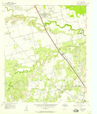 1957 Hawley1958 Print · USGSWest Texas ranching and petroleum interests converge in the late 1950s along the winding Clear Fork Brazos River. Researchers can trace the mid-century industrial footprint of the Cosden Refinery and the Hawley Oil Field alongside the Old Anson Road.4 unique versions available
 - 1957 Map of Hamby, 1958 Print
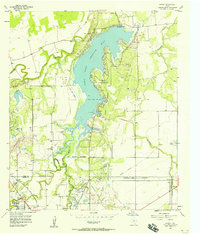 1957 Hamby1958 Print · USGSThe West Texas plains northeast of Abilene are captured here in the late fifties as water infrastructure transformed the landscape. Trace the shores of Lake Fort Phantom Hill and find local landmarks like the Drive-in Theater and the community of Hamby.4 unique versions available
 - 1957 Map of Buffalo Gap, 1958 Print
 1957 Buffalo Gap1958 Print · USGSMid-century Abilene and the surrounding Taylor County landscape are captured here as the city expanded westward toward the new military installations. Local historians can trace family roots through the Buffalo Gap Cem, the campus of McMurry College, and the rail stops of the Abilene and Southern.2 unique versions available
 - 1958 Map of Abilene
 1958 Abilene1958 Print · USGSMid-century West Texas comes alive in this survey of the Abilene and Stephenville region during a period of steady oil expansion and military growth. Genealogists and local historians can trace the paths of the Texas & Pacific RR through historic towns, locate the Fort Griffin Ruins, and find smaller settlements like Desdemona and Lueders.
 - 1984 Map of Flattop
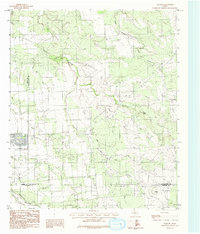 1984 Flattop1984 Print · USGSThe rural landscape of the West Texas plains is captured here in the mid-1980s, where three counties meet at the community of Flattop. Genealogists and historians can trace property lines and terrain near Deadman Creek, Spring Creek, and various local Gravel Pits.
 - 1984 Map of Buffalo Gap
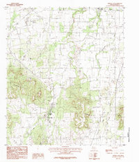 1984 Buffalo Gap1984 Print · USGSIn the mid-eighties, the hills of Taylor County show the early reach of Abilene's expansion toward Buffalo Gap. You can trace rural landmarks from Abilene State Park to the Cedar Gap crossing, along with local Gravel Pits and a Cem.2 unique versions available
 - 1984 Map of Potosi, 1992 Print
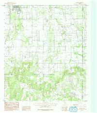 1984 Potosi1992 Print · USGSPotosi and the rural landscape east of Abilene are captured here in the late seventies and early eighties. Genealogists and historians can trace the creek-side settlements along Spring Creek and Lytle Creek, and locate the numerous Oil Wells near Lytle Cove.
 - 1985 Map of Abilene, 1986 Print
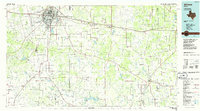 1985 Abilene1986 Print · USGSThe West Texas ranching and rail landscape around Abilene is captured here in the mid-1980s. Local researchers can trace the growth of Hardin-Simmons University, locate family sites near Ross Cem, or explore the area around Buffalo Gap and Dyess Air Force Base.2 unique versions available
 - 1985 Map of Stamford, 1992 Print
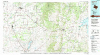 1985 Stamford1992 Print · USGSMid-century West Texas comes alive in this survey of the Brazos River country, showing a landscape defined by oil production and rail transport. Researchers can locate family landmarks like the Avoca Sch, New Hope Ch, and the frontier history at Fort Griffin State Park.
 - 2010 Map of Abilene West, 2010 Print
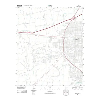 2010 Abilene West2010 Print · USGSWestern Abilene and the surrounding Taylor County landscape are shown here as the city expanded southward in the early 2000s. Researchers can trace the layout of Dyess Air Force Base, locate the Little Elm Cemetery, and see the early development of Wylie.
 - 2010 Map of Abilene East, 2010 Print
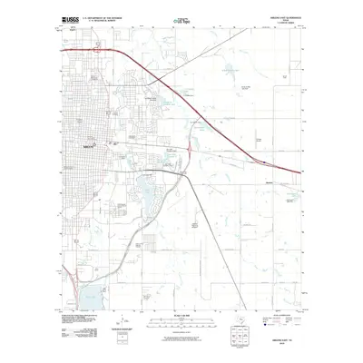 2010 Abilene East2010 Print · USGSAbilene's eastern districts are shown here at a moment of modern expansion and deep historical preservation. Researchers can trace family sites at the Old Colony Cemetery or explore the bounds of the Parramore Historic District and the State Epileptic Colony Historic District.
 - 2010 Map of Buffalo Gap, 2010 Print
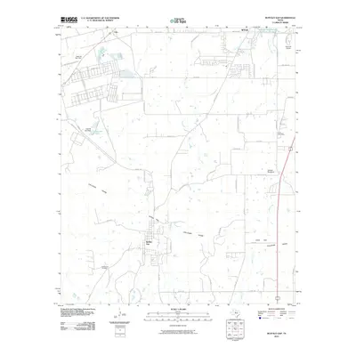 2010 Buffalo Gap2010 Print · USGSTaylor County south of Abilene shows a landscape defined by the Callahan Divide during this era of suburban growth and ranching. Genealogists and local historians can trace the foundations of Buffalo Gap, locate the Buffalo Gap Cemetery, and find the Abilene Speedway near Cedar Gap.
 - 2010 Map of Flattop, 2010 Print
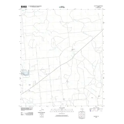 2010 Flattop2010 Print · USGSThe ranchlands northeast of Abilene appear here in the early 2000s, defined by large estates and oil extraction. Genealogists and local historians can locate the Hamby Cemetery, the settlement of Flattop, and the operations at Morrisett Oil Field.
 - 2010 Map of Hawley, 2010 Print
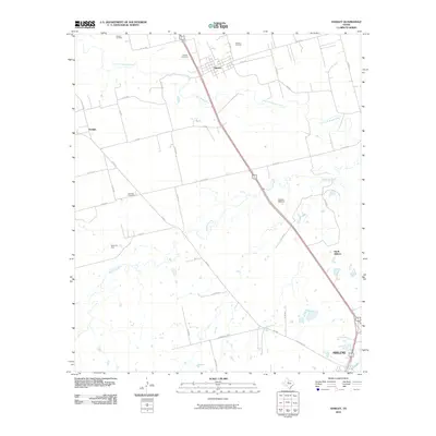 2010 Hawley2010 Print · USGSTaylor County at the start of the decade shows a landscape where industrial energy production meets rural ranching north of the city. Genealogists and historians can locate family landmarks such as Hawley Cemetery, Mid Way Cemetery, and the Cosden Refinery.
 - 2010 Map of Potosi, 2010 Print
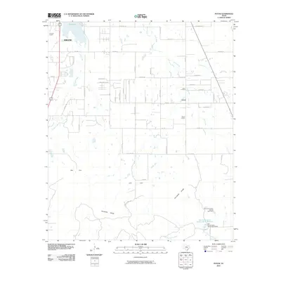 2010 Potosi2010 Print · USGSThe Abilene outskirts and the community of Potosi are captured here during a period of modern growth against the backdrop of the Callahan Divide. Researchers can trace local lineage at the Potosi Cemetery or locate landmarks like the Flying W Airport and Kirby Lake.
Showing maps 1-25 of 54
Top cities near Abilene
- Clyde historical maps
- Tye historical maps
- Hawley historical maps
- Buffalo Gap historical maps
- Impact historical maps
Top neighborhoods of Abilene
Frequently asked questions
- What are the different types of historical maps available for Abilene?
- What is the oldest map of Abilene?
- Where can I purchase historical maps of Abilene for my home or office?
- Where can I download high-res historical maps of Abilene?
- Are there historical topographic maps available for Abilene?
- Is there historical aerial imagery available for Abilene?
- Where are historical maps of Abilene sourced from?