2010s Maps of Abilene, Texas
Explore 28 historic maps of Abilene from the 2010s. These maps offer a rare glimpse into what life looked like during the 2010s — showing old roads, neighborhoods, homes, and landmarks that have changed or disappeared over time.
Whether you're researching your family's past, planning a metal detecting trip, or studying how Abilene's landscape evolved across the 2010s, these high-resolution maps are a powerful tool for exploring the history of this region.
- Focus on a specific era: All maps on this page are from the 2010s, giving you a focused view of this time period.
- See what’s changed: Compare century-old streets, trails, and buildings to today's modern landscape using overlays and satellite layers.
- Research with precision: Use these maps for genealogy, historical research, land use analysis, or educational projects.
- View, download, or print: Maps are fully viewable online in high resolution, and can be downloaded or printed for your own records.
Start exploring Abilene's history through authentic maps from the 2010s. This is your window into the past.
Abilene, TX maps
(28)- 2010 Map of Abilene West, 2010 Print
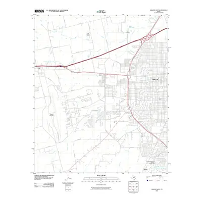 2010 Abilene West2010 Print · USGSWestern Abilene and the surrounding Taylor County landscape are shown here as the city expanded southward in the early 2000s. Researchers can trace the layout of Dyess Air Force Base, locate the Little Elm Cemetery, and see the early development of Wylie.
 - 2010 Map of Abilene East, 2010 Print
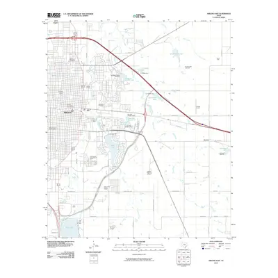 2010 Abilene East2010 Print · USGSAbilene's eastern districts are shown here at a moment of modern expansion and deep historical preservation. Researchers can trace family sites at the Old Colony Cemetery or explore the bounds of the Parramore Historic District and the State Epileptic Colony Historic District.
 - 2010 Map of Buffalo Gap, 2010 Print
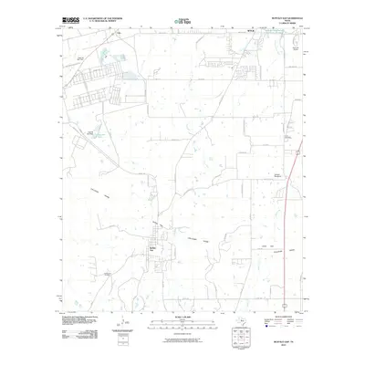 2010 Buffalo Gap2010 Print · USGSTaylor County south of Abilene shows a landscape defined by the Callahan Divide during this era of suburban growth and ranching. Genealogists and local historians can trace the foundations of Buffalo Gap, locate the Buffalo Gap Cemetery, and find the Abilene Speedway near Cedar Gap.
 - 2010 Map of Flattop, 2010 Print
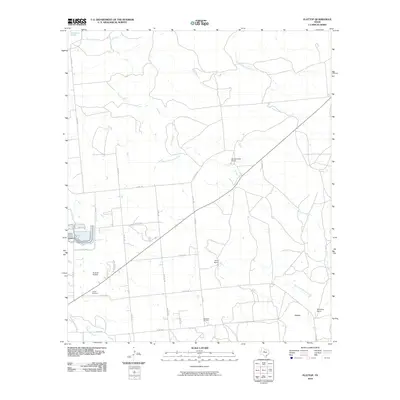 2010 Flattop2010 Print · USGSThe ranchlands northeast of Abilene appear here in the early 2000s, defined by large estates and oil extraction. Genealogists and local historians can locate the Hamby Cemetery, the settlement of Flattop, and the operations at Morrisett Oil Field.
 - 2010 Map of Hawley, 2010 Print
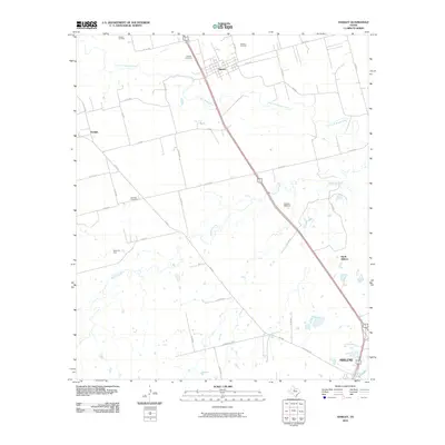 2010 Hawley2010 Print · USGSTaylor County at the start of the decade shows a landscape where industrial energy production meets rural ranching north of the city. Genealogists and historians can locate family landmarks such as Hawley Cemetery, Mid Way Cemetery, and the Cosden Refinery.
 - 2010 Map of Potosi, 2010 Print
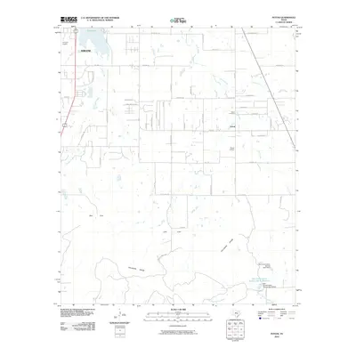 2010 Potosi2010 Print · USGSThe Abilene outskirts and the community of Potosi are captured here during a period of modern growth against the backdrop of the Callahan Divide. Researchers can trace local lineage at the Potosi Cemetery or locate landmarks like the Flying W Airport and Kirby Lake.
 - 2010 Map of Hamby, 2010 Print
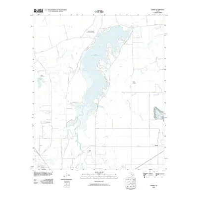 2010 Hamby2010 Print · USGSTaylor County settlement at the turn of the decade centers on the expansive waters of Lake Fort Phantom Hill and the surrounding prairie communities. Genealogists and local historians can trace family locations near the Round Mound Cemetery or explore the small hubs of Hamby and Impact.
 - 2012 Map of Hamby, 2012 Print
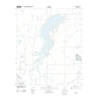 2012 Hamby2012 Print · USGSNear Abilene in the early twenty-first century, this landscape is defined by the expansive waters of Lake Fort Phantom Hill. Genealogists and local historians can trace the rural layout around Hamby, the Round Mound Cem, and the winding Deadman Cr.
 - 2012 Map of Hawley, 2012 Print
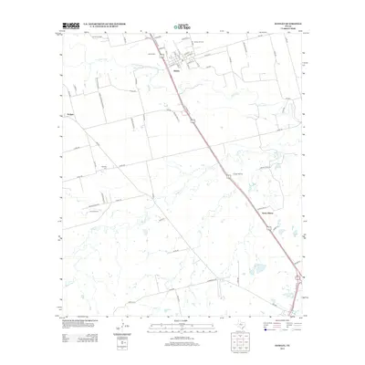 2012 Hawley2012 Print · USGSHawley and the northern reaches of Abilene appear here in the early 2010s, showing a landscape defined by ranching and the petroleum industry. Researchers can locate family landmarks like Hawley Cem and Mid Way Cem or trace industrial sites like Cosden Refinery.
 - 2012 Map of Buffalo Gap, 2012 Print
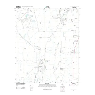 2012 Buffalo Gap2012 Print · USGSBuffalo Gap and southern Taylor County are captured in the early twenty-first century, showing the area's blend of suburban growth and ranching roots. Genealogists and local historians can trace family sites at Iberis Cem, Buffalo Gap Cem, and the old Butterfield School Rd.
 - 2012 Map of Abilene West, 2012 Print
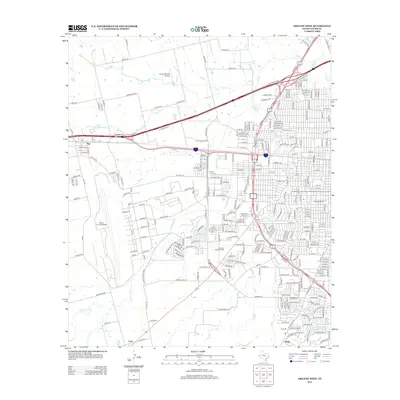 2012 Abilene West2012 Print · USGSAbilene and the neighboring town of Tye are shown during a period of modern expansion in the early 2010s. Researchers can locate specific local landmarks such as Dyess Air Force Base, Little Elm Cem, and the McMurry Univ campus.
 - 2012 Map of Potosi, 2012 Print
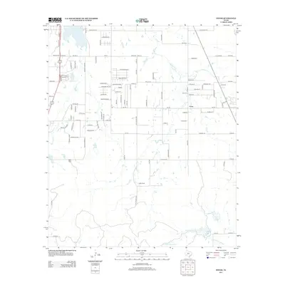 2012 Potosi2012 Print · USGSThe community of Potosi is shown here in the early twenty-first century as suburban growth reaches into Taylor County. Genealogists and local historians can locate the Potosi Cem, Potosi School, and family-named landmarks like Lytle Cove.
 - 2012 Map of Abilene East, 2012 Print
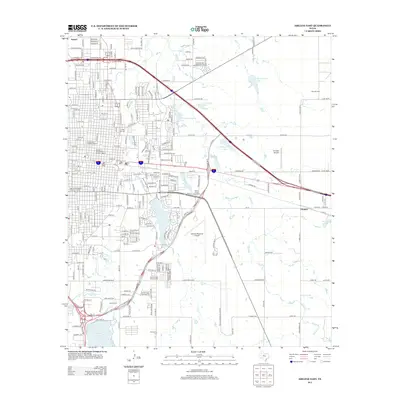 2012 Abilene East2012 Print · USGSAbilene and its eastern reaches are captured here in the early twenty-first century, showing a mix of urban historic districts and sprawling university campuses. Researchers can locate the Old Colony Cem, trace the waters of Lytle Lake, or explore the heritage of the Sayles Boulevard Historic District.
 - 2012 Map of Flattop, 2012 Print
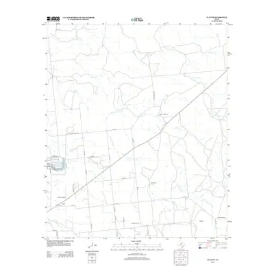 2012 Flattop2012 Print · USGSTaylor County ranching and energy production are in focus here in the early twenty-first century. Researchers can trace land use at the Morrisett Oil Field and locate family history sites like Hamby Cem or the settlement at Flattop.
 - 2016 Map of Buffalo Gap, 2016 Print
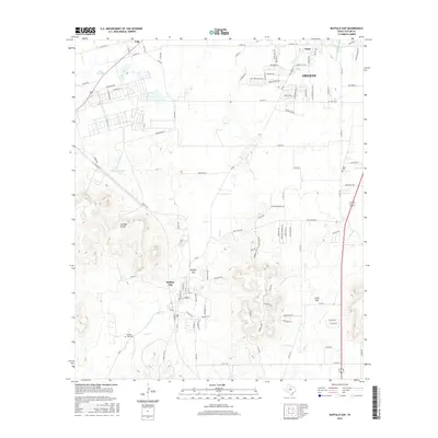 2016 Buffalo Gap2016 Print · USGSThe southern outskirts of Abilene and the historic passage at Buffalo Gap are captured here in the mid-2010s. Researchers can locate family sites at Buffalo Gap Cem and Iberis Cem or trace the terrain of the Callahan Divide.
 - 2016 Map of Hamby, 2016 Print
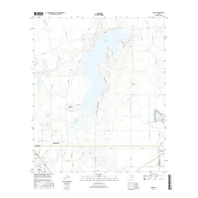 2016 Hamby2016 Print · USGSAbilene and its northern outskirts are captured here during a period of steady growth near the Lake Fort Phantom Hill reservoir. Genealogists and local historians can locate the Texas State Veterans Cem at Abilene and the Round Mound Cem among the surrounding creek drainages.
 - 2016 Map of Flattop, 2016 Print
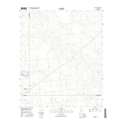 2016 Flattop2016 Print · USGSAbilene's northeast fringes and the ranch lands of West Texas are captured here just as the three-county border remains largely pastoral. Genealogists and local historians can trace the area surrounding Hamby, the Cem, and rural landmarks like Portlock Airfield.
 - 2016 Map of Potosi, 2016 Print
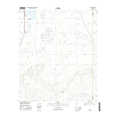 2016 Potosi2016 Print · USGSThe outskirts of Abilene and the community of Potosi are shown here in the mid-2010s as suburban growth meets the Texas brush. Researchers can locate the Potosi Cemetery or trace the drainage from the Callahan Divide into Kirby Lake and the South Prong Pecan Bayou.
 - 2016 Map of Abilene West, 2016 Print
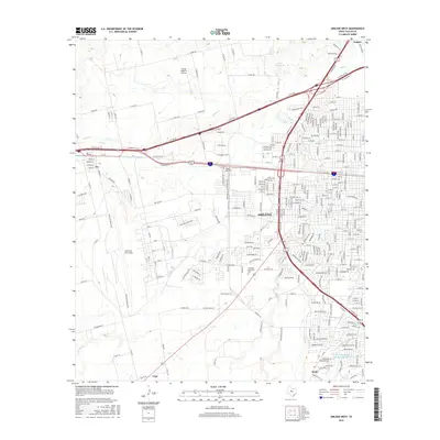 2016 Abilene West2016 Print · USGSAbilene and its western fringes are shown in detail during a period of modern expansion and military activity. Genealogists and local researchers can trace the development around Dyess Air Force Base, Little Elm Cem, and the McMurry Univ campus.
 - 2016 Map of Hawley, 2016 Print
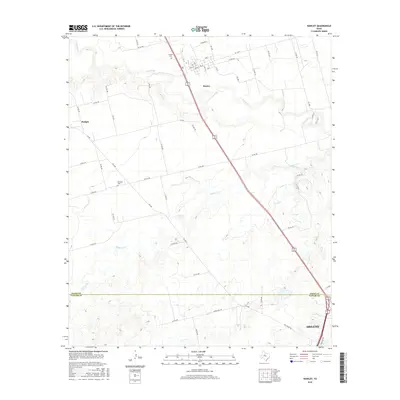 2016 Hawley2016 Print · USGSThe Jones and Taylor County borderlands in the 2010s show a landscape of rural crossroads and river bends north of the city. Genealogists and local historians can trace family locations near Hawley Cem, Mid Way Cem, and along the winding Clear Fork.
 - 2016 Map of Abilene East, 2016 Print
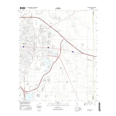 2016 Abilene East2016 Print · USGSAbilene expanded eastward into the ranch lands of Taylor County during the mid-2010s, maintaining its identity as a collegiate and aviation center. Researchers can locate established institutions like Hardin Simmons University and trace rural family sites at Old Colony Cemetery or Elmdale.
 - 2019 Map of Hamby, 2019 Print
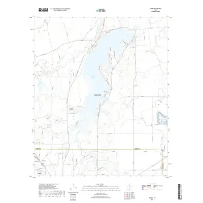 2019 Hamby2019 Print · USGSThe northeastern outskirts of Abilene and the shores of Lake Fort Phantom Hill are detailed here in the late 2010s. Researchers can locate specific sites like the Texas State Veteran's Cem at Abilene, Hamby, and the Round Mound Cem.
 - 2019 Map of Abilene East, 2019 Print
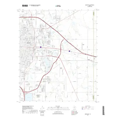 2019 Abilene East2019 Print · USGSAbilene and its eastern suburbs are shown here in the late 2010s as the city interfaces with the Taylor-Callahan county line. Researchers can trace local history through the Abilene State Hospital Cem, find the settlement of Elmdale, and locate the waters of Kirby Lake.
 - 2019 Map of Hawley, 2019 Print
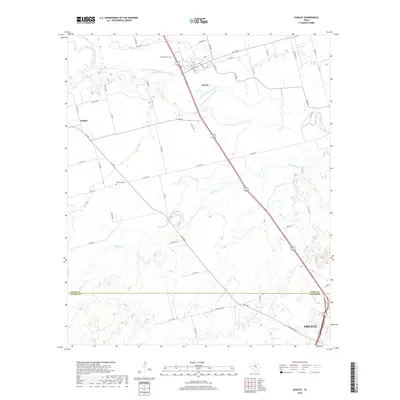 2019 Hawley2019 Print · USGSThe rural landscape north of Abilene is captured here in the late 2010s as it spans the Jones and Taylor County line. Researchers can trace local burial sites like Hawley Cem and Mid Way Cem or follow the waters of the Clear Fork Brazos River.
 - 2019 Map of Flattop, 2019 Print
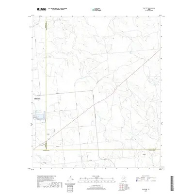 2019 Flattop2019 Print · USGSThe ranchlands northeast of Abilene are captured here during the late twenty-teens, showing the intersection of Jones, Shackelford, and Callahan counties. Researchers can locate Hamby Cem, Portlock Airfield, and the eponymous Flattop landmark.
Showing maps 1-25 of 28
Top cities near Abilene
- Clyde historical maps
- Tye historical maps
- Hawley historical maps
- Buffalo Gap historical maps
- Impact historical maps
Top neighborhoods of Abilene
Frequently asked questions
- What are the different types of historical maps available for Abilene?
- What is the oldest map of Abilene?
- Where can I purchase historical maps of Abilene for my home or office?
- Where can I download high-res historical maps of Abilene?
- Are there historical topographic maps available for Abilene?
- Is there historical aerial imagery available for Abilene?
- Where are historical maps of Abilene sourced from?