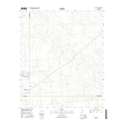
2016 Map of Flattop
USGS Topo · Published 2016About this map
Abilene's northeastern outskirts meet the rolling ranch lands of West Texas in this 2016 survey, where three county lines—Jones, Shackelford, and Callahan—intersect. The landscape is defined by the drainage networks of Spring Creek and its western fork, flowing across a terrain marked by the namesake Flattop elevation to the south. The transition from urban development to open country is sharp, with the settlement of Hamby and its adjacent Cem serving as a local landmark.
Find a feature on this map
34 named features on this map. Tap any name to fly to it.
Don’t see what you’re looking for? This feature index may not catch every label — zoom into the map to look around manually.
Map Details
Editions of this 2016 Flattop Map
This is the sole edition of this map. No revisions or reprints were ever made.
Other maps of this area

1890 · Abilene
USGS Topo · 1:125,000

1891 · Anson
USGS Topo · 1:125,000

1892 · Abilene
USGS Topo · 1:125,000

1892 · Albany
USGS Topo · 1:125,000

1893 · Albany
USGS Topo · 1:125,000

1893 · Anson
USGS Topo · 1:125,000

1931 · Baird
USGS Topo · 1:125,000

1932 · Baird
USGS Topo · 1:125,000

1954 · Abilene
USGS Topo · 1:250,000

1957 · Kirby Lake
USGS Topo · 1:62,500