Old Maps of Lawn, Texas
Explore 17 old maps of Lawn, spanning from 1890 to today. These high-resolution historic maps reveal how streets, neighborhoods, landmarks, and natural features evolved over time — perfect for genealogy, metal detecting, research, and local history exploration.
What you can do with these maps:
- See how Lawn changed over time: Compare historical maps to modern-day views to trace roads, homesites, rail lines & more.
- View detailed metadata: Each map includes creators, publishers, year, scale, and archive source.
- Overlay maps with satellite & LiDAR: Visualize the past alongside modern tools to explore terrain & human change.
- Trusted historical sources: Maps sourced from the USGS, Library of Congress, and other archives.
- Access maps your way: View online, download high-res files, or order prints for personal or research use.
Start exploring old maps of Lawn to uncover forgotten places, hidden landmarks, and the deep history beneath your feet.
Lawn, TX maps
(17)- 1890 Map of Abilene, 1955 Print
 1890 Abilene1955 Print · USGSWest Texas ranching country and rail settlements come alive in the 1890s as the railroad transforms the prairie. Genealogists can trace early homesteads near Buffalo Gap or follow the Texas and Pacific Railway through Abilene and Elmdale.
 - 1892 Map of Abilene
 1892 Abilene1892 Print · USGSTaylor and Callahan counties were transitioning into a major rail and ranching corridor during the 1890s. Genealogical researchers can locate early frontier settlements like Buffalo Gap and Guion, or trace the path of the Texas and Pacific Railway.5 unique versions available
 - 1954 Map of Abilene, 1966 Print
 1954 Abilene1966 Print · USGSThe Texas Big Country comes into focus in the mid-1950s as petroleum and new water projects reshape the landscape. Local historians can trace the Butterfield Trail, find the Fort Phantom Hill Ruins, and locate numerous small communities along the Texas & Pacific line.2 unique versions available
 - 1958 Map of Abilene
 1958 Abilene1958 Print · USGSMid-century West Texas comes alive in this survey of the Abilene and Stephenville region during a period of steady oil expansion and military growth. Genealogists and local historians can trace the paths of the Texas & Pacific RR through historic towns, locate the Fort Griffin Ruins, and find smaller settlements like Desdemona and Lueders.
 - 1967 Map of Tuscola, 1969 Print
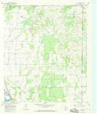
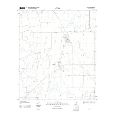
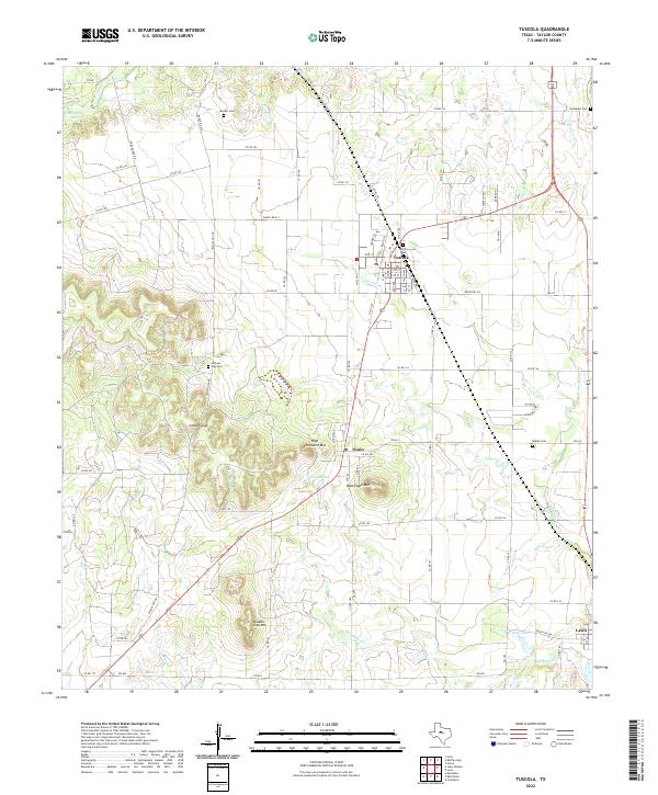
 1967 Tuscola1969 Print · USGSSouthern Taylor County was a hub for rail and ranching when these tracks still carried freight through the hills. Genealogists and historians can trace the paths of the Abilene and Southern through Tuscola or find family sites like Lemons Gap Cem and McBee Cem.
 - 1967 Map of Lawn, 1970 Print
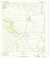
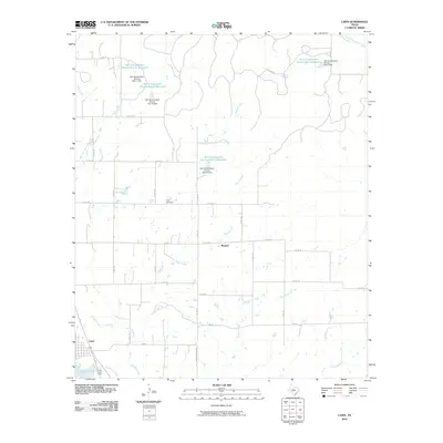
 1967 Lawn1970 Print · USGSLawn and the Taylor-Callahan county line are captured here in the late sixties, showing a period of rural industry and community life. Researchers can locate the Cope Cem, trace the A T AND S F railroad, or find mid-century landmarks like the local Drive-in Theater.2 unique versions available
 - 1985 Map of Abilene, 1986 Print
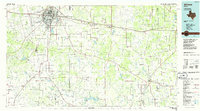 1985 Abilene1986 Print · USGSThe West Texas ranching and rail landscape around Abilene is captured here in the mid-1980s. Local researchers can trace the growth of Hardin-Simmons University, locate family sites near Ross Cem, or explore the area around Buffalo Gap and Dyess Air Force Base.2 unique versions available
 - 2010 Map of Tuscola, 2010 Print
 2010 Tuscola2010 Print · USGSCovers Lawn, including Tuscola, Guion, and other nearby areas
 - 2010 Map of Lawn, 2010 Print
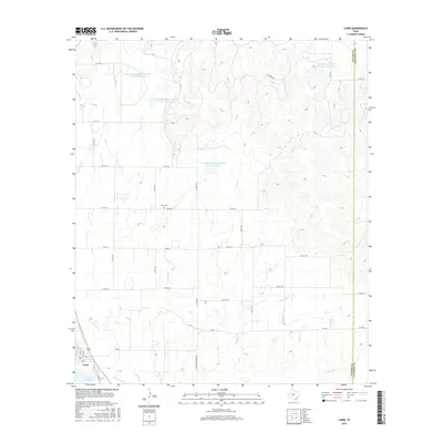
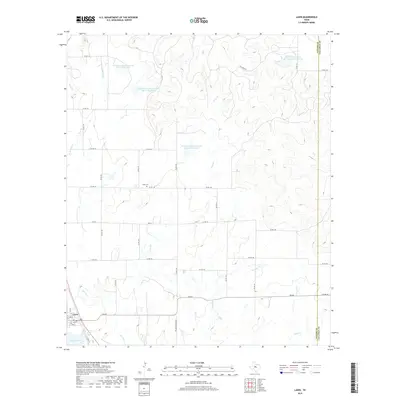
 2010 Lawn2010 Print · USGSCovers Lawn, including Rogers, Taylor County, and other nearby areas
 - 2012 Map of Tuscola, 2012 Print
 2012 Tuscola2012 Print · USGSCovers Lawn, including Tuscola, Guion, and other nearby areas
 - 2012 Map of Lawn, 2012 Print
 2012 Lawn2012 Print · USGSCovers Lawn, including Rogers, Taylor County, and other nearby areas
 - 2016 Map of Lawn, 2016 Print
 2016 Lawn2016 Print · USGSCovers Lawn, including Rogers, Taylor County, and other nearby areas
 - 2016 Map of Tuscola, 2016 Print
 2016 Tuscola2016 Print · USGSCovers Lawn, including Tuscola, Guion, and other nearby areas
 - 2019 Map of Lawn, 2019 Print
 2019 Lawn2019 Print · USGSCovers Lawn, including Rogers, Taylor County, and other nearby areas
 - 2019 Map of Tuscola, 2019 Print
 2019 Tuscola2019 Print · USGSCovers Lawn, including Tuscola, Guion, and other nearby areas
 - 2022 Map of Tuscola, 2022 Print
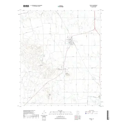
 2022 Tuscola2022 Print · USGSTaylor County ranch lands and small towns are captured here in the early twenty-first century. Genealogists can trace family heritage at Lemons Gap Cem and McBee Cem or locate the historic post office at Tuscola.
 - 2022 Map of Lawn, 2022 Print
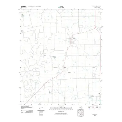
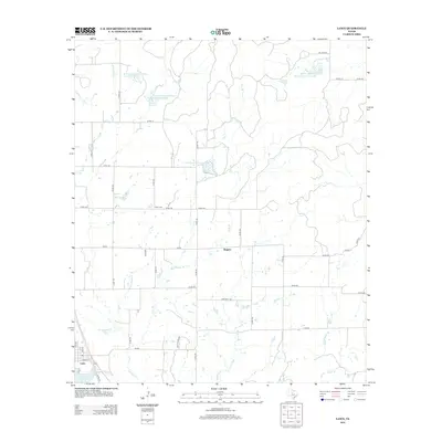
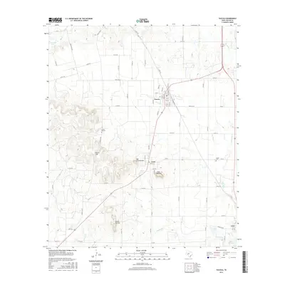
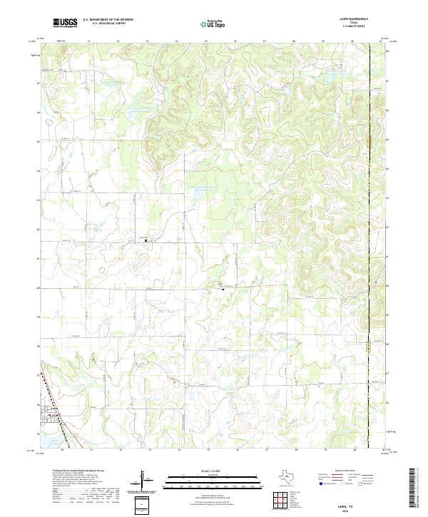 2022 Lawn2022 Print · USGSThe ranching and oil lands of Taylor County are captured in this recent survey of the area around Lawn. Local historians can trace family plots at Snodgrass Cem or Cope Cem and examine modern water management at Lake Lawn.
End of results
Showing maps 1-17 of 17
Top cities near Lawn
- Abilene historical maps
- Winters historical maps
- Tuscola historical maps
- Buffalo Gap historical maps
- Novice historical maps
Frequently asked questions
- What are the different types of historical maps available for Lawn?
- What is the oldest map of Lawn?
- Where can I purchase historical maps of Lawn for my home or office?
- Where can I download high-res historical maps of Lawn?
- Are there historical topographic maps available for Lawn?
- Is there historical aerial imagery available for Lawn?
- Where are historical maps of Lawn sourced from?