Old Maps of Dryden Crossing, Texas for Academic Research
Study the evolution of Dryden Crossing with 10 high-resolution historic maps. Whether you're teaching, researching, or modeling changes in land use, these maps provide essential visual documentation of urban, environmental, and geographic change.
- Analyze long-term change: Track patterns in development, transportation, and natural features.
- Ideal for environmental or urban studies: Support academic projects with primary historical map data.
- Use in the classroom or lab: Educators and researchers rely on these maps to bring historical context to life.
These maps are a powerful tool for teaching, research, and visualizing how Dryden Crossing has changed over the decades.
Dryden Crossing, TX maps
(10)- 1918 Map of Dryden Crossing
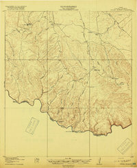 1918 Dryden Crossing1918 Print · USGSTerrell County and the Mexico border appear in the late Great War era as a landscape of isolated ranching and essential river fords. Trace historic crossings at Dryden Crossing and Shafter Crossing, or locate early homesteads like Taylor Ranch and Loma Vista.3 unique versions available
 - 1959 Map of Emory Peak, 1967 Print
 1959 Emory Peak1967 Print · USGSThe Big Bend country of West Texas is documented here just as the national park was becoming a major destination. Researchers can trace remote desert outposts like Lajitas, Castolon, and the Terlingua Post Office along the winding Rio Grande.3 unique versions available
 - 1965 Map of Emory Peak
 1965 Emory Peak1965 Print · USGSThe Big Bend backcountry in the mid-1960s reveals a desert landscape of remote ranches and mercury mining. Trace the historic boundary along the Rio Grande and locate landmarks like the Fresno Mine and Panther Spring.
 - 1983 Map of Taylor Canyon, 1984 Print
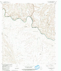 1983 Taylor Canyon1984 Print · USGSThe Rio Grande borderlands of West Texas and Mexico are captured here in the late seventies and early eighties. Researchers can trace the rugged drainage of Sanderson Canyon and find isolated desert landmarks like Huisache Well and the Cable Hills.
 - 1985 Map of Dove Mountain
 1985 Dove Mountain1985 Print · USGSThe West Texas borderlands along the Rio Grande are captured here in the mid-1980s, showcasing a landscape of canyons and isolated peaks. Researchers can trace remote settlements like Loma Vista and Karen or navigate the terrain of the Jackson Range.2 unique versions available
 - 2010 Map of Taylor Canyon, 2010 Print
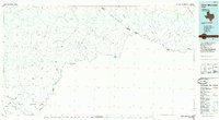
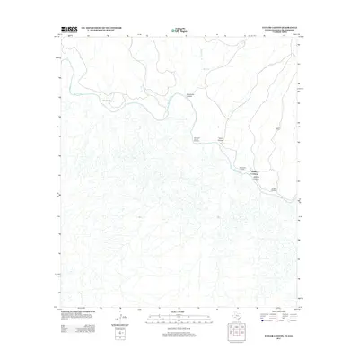
 2010 Taylor Canyon2010 Print · USGSCovers Dryden Crossing, including Acuña, Terrell County, and other nearby areas
 - 2013 Map of Taylor Canyon, 2013 Print
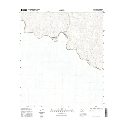
 2013 Taylor Canyon2013 Print · USGSCovers Dryden Crossing, including Acuña, Terrell County, and other nearby areas
 - 2016 Map of Taylor Canyon, 2016 Print
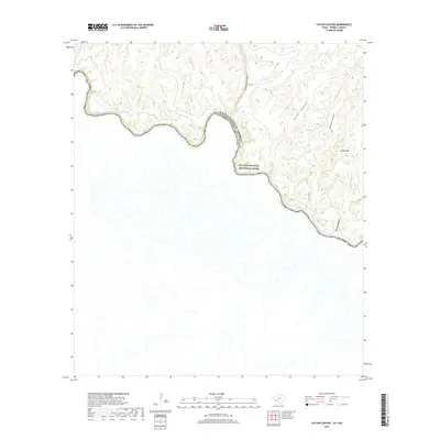
 2016 Taylor Canyon2016 Print · USGSCovers Dryden Crossing, including Acuña, Terrell County, and other nearby areas
 - 2019 Map of Taylor Canyon, 2019 Print
 2019 Taylor Canyon2019 Print · USGSCovers Dryden Crossing, including Acuña, Terrell County, and other nearby areas
 - 2022 Map of Taylor Canyon, 2022 Print
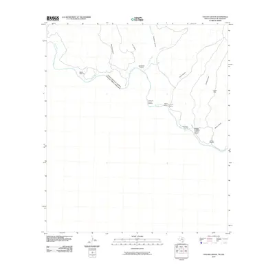
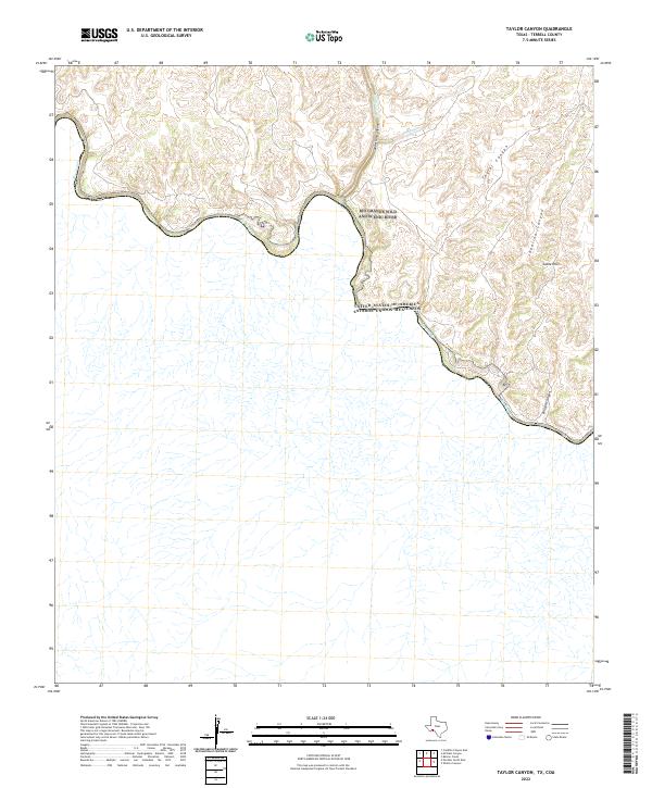 2022 Taylor Canyon2022 Print · USGSThe international border along the Rio Grande in Terrell County is captured in this modern survey. Researchers can trace the winding river corridor and the extensive canyon systems that feed it, including Taylor Canyon, Jabalina Canyon, and the Cable Hills.
End of results
Showing maps 1-10 of 10
Frequently asked questions
- What are the different types of historical maps available for Dryden Crossing?
- What is the oldest map of Dryden Crossing?
- Where can I purchase historical maps of Dryden Crossing for my home or office?
- Where can I download high-res historical maps of Dryden Crossing?
- Are there historical topographic maps available for Dryden Crossing?
- Is there historical aerial imagery available for Dryden Crossing?
- Where are historical maps of Dryden Crossing sourced from?