Old Maps of Mofeta, Texas for Academic Research
Study the evolution of Mofeta with 11 high-resolution historic maps. Whether you're teaching, researching, or modeling changes in land use, these maps provide essential visual documentation of urban, environmental, and geographic change.
- Analyze long-term change: Track patterns in development, transportation, and natural features.
- Ideal for environmental or urban studies: Support academic projects with primary historical map data.
- Use in the classroom or lab: Educators and researchers rely on these maps to bring historical context to life.
These maps are a powerful tool for teaching, research, and visualizing how Mofeta has changed over the decades.
Mofeta, TX maps
(11)- 1928 Map of Sanderson
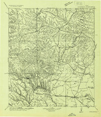 1928 Sanderson1928 Print · USGSTerrell County ranching and railroad life come into focus in the late 1920s, showing the area's transition from frontier outposts to a connected rail corridor. Genealogists and historians can locate remote family sites like Big Canyon Headquarters or trace the old Southern Pacific line through Sanderson and Thurston.
 - 1954 Map of Fort Stockton, 1965 Print
 1954 Fort Stockton1965 Print · USGSWest Texas ranching and the early energy industry converge in this mid-century survey of the Trans-Pecos. Genealogists and historians can locate specific family lands like Graef Brothers Ranch and trace the paths of the Old Spanish Trail and the Southern Pacific railroad.3 unique versions available
 - 1958 Map of Fort Stockton
 1958 Fort Stockton1958 Print · USGSThe Trans-Pecos region of West Texas in the late fifties is a landscape of vast mesas and isolated ranching hubs. Genealogists and historians can trace the paths of the Texas and New Orleans RR through Alpine or locate early settlements like Bakersfield and Sanderson.
 - 1969 Map of Mofeta, 1972 Print
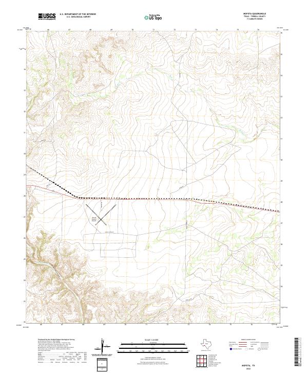
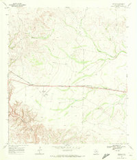 1969 Mofeta1972 Print · USGSTerrell County ranching and rail life are preserved here in the late sixties. Genealogists and researchers can trace the Southern Pacific corridor through Mofeta or locate the Dryden Airfield and Rule Ranch.
 - 1973 Map of Fort Stockton, 1974 Print
 1973 Fort Stockton1974 Print · USGSThe Trans-Pecos region of West Texas comes alive in the early seventies, from the desert flats of the Stockton Plateau to the heights of the Davis Mountains. Researchers can trace the legacy of frontier outposts and rail lines through Fort Davis Nat Hist Site, Alpine, and the Southern Pacific RR.
 - 1985 Map of Sanderson
 1985 Sanderson1985 Print · USGSWest Texas ranching and railroading are captured here in the mid-eighties as the Southern Pacific traverses the Trans-Pecos. Researchers can trace the layout of Sanderson and find isolated sites like Dryden, Tesnus, and the Glass Mountains.2 unique versions available
 - 2010 Map of Mofeta, 2010 Print
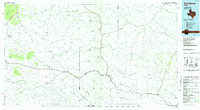
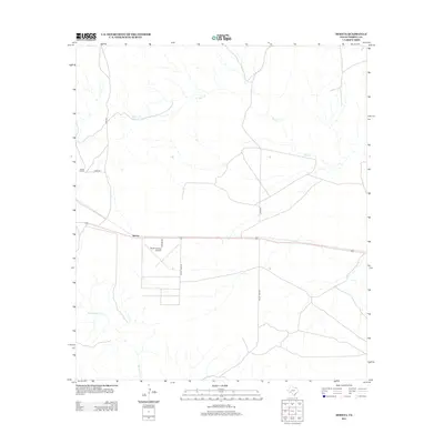
 2010 Mofeta2010 Print · USGSCovers Mofeta, including Terrell County, United States, and other nearby areas
 - 2012 Map of Mofeta, 2012 Print
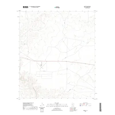
 2012 Mofeta2012 Print · USGSCovers Mofeta, including Terrell County, United States, and other nearby areas
 - 2016 Map of Mofeta, 2016 Print
 2016 Mofeta2016 Print · USGSCovers Mofeta, including Terrell County, United States, and other nearby areas
 - 2019 Map of Mofeta, 2019 Print
 2019 Mofeta2019 Print · USGSCovers Mofeta, including Terrell County, United States, and other nearby areas
 - 2022 Map of Mofeta, 2022 Print
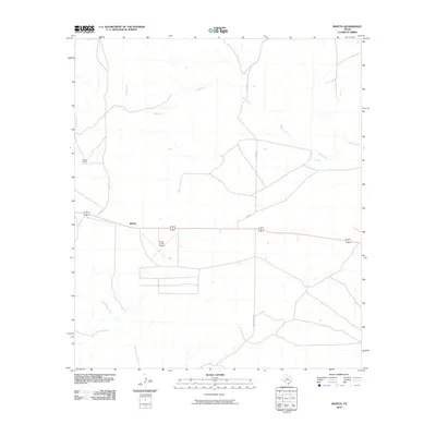
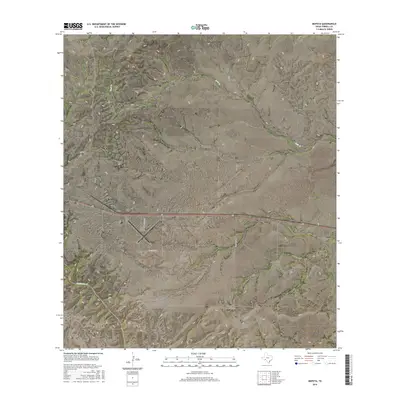
 2022 Mofeta2022 Print · USGSTerrell County ranchlands and the high desert canyons of West Texas are captured here in the 2020s. Researchers can trace the path of Sanderson Canyon and the local transport hub at Terrell County Airport alongside Dyer Rd.
End of results
Showing maps 1-11 of 11
Top cities near Mofeta
Frequently asked questions
- What are the different types of historical maps available for Mofeta?
- What is the oldest map of Mofeta?
- Where can I purchase historical maps of Mofeta for my home or office?
- Where can I download high-res historical maps of Mofeta?
- Are there historical topographic maps available for Mofeta?
- Is there historical aerial imagery available for Mofeta?
- Where are historical maps of Mofeta sourced from?