Old Maps of Smyth Crossing, Texas for Genealogy
Trace your family roots with 12 historic maps of Smyth Crossing. These high-res maps reveal old neighborhoods, homesites, landmarks, and streets — helping you uncover where your ancestors lived and how the area evolved over time.
- Explore historic neighborhoods: Identify where your relatives may have lived in the 1800s or 1900s.
- Compare maps over time: Trace the changes in streets, buildings, and landmarks for multi-generational research.
- Perfect for genealogy & ancestry research: Used by family historians and researchers to map out lineage and migration.
These maps are an incredible resource for exploring your personal connection to Smyth Crossing's past.
Smyth Crossing, TX maps
(12)- 1898 Map of Uvalde
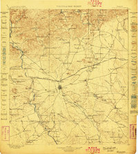 1898 Uvalde1898 Print · USGSTexas ranching culture and early rail expansion meet in the late 1890s across this detailed landscape. Genealogists and researchers can trace family-named estates like Molesworth Ranch, locate the Sansom P.O., and find industrial relics like the Silver Mine.3 unique versions available
- 1899 Map of Uvalde, 1931 Print
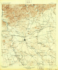 1899 Uvalde1931 Print · USGSThe South Texas ranching frontier comes into focus during the late nineteenth century as railroads began to transform the cattle economy. Researchers can trace family ranch lands such as McDaniels Ranch, locate the Sansom P.O. at Uvalde, and find local landmarks like Myricks Upper Apiary.
- 1954 Map of San Antonio, 1964 Print
 1954 San Antonio1964 Print · USGSSan Antonio and the Texas Hill Country are captured here in the mid-fifties, showing a landscape defined by massive military air bases and the rising Canyon Reservoir. Trace family ties through historic rail towns like D'Hanis and Castroville or explore the Cold War footprint of Lackland AFB and Randolph AFB.3 unique versions available
- 1957 Map of San Antonio
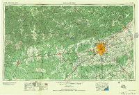 1957 San Antonio1957 Print · USGSSan Antonio and the Texas Hill Country are shown here during the mid-fifties, capturing the region's expanding post-war military and transportation footprint. Genealogists and local historians can trace the early residential boundaries of Alamo Heights or locate rural landmarks like St Hedwig and Medina Lake.
- 1960 Map of Sand Mountain, 1962 Print
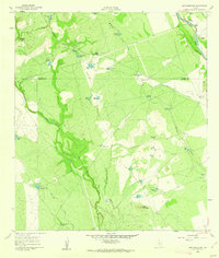 1960 Sand Mountain1962 Print · USGSZavala and Uvalde Counties in the early sixties reveal a landscape of remote ranching outposts and vital water infrastructure along the Nueces River. Genealogists and historians can trace family holdings like Anthon Ranch or Lyles Ranch and locate the historic Smyth Station along the Missouri Pacific tracks.
- 1985 Map of Uvalde
 1985 Uvalde1985 Print · USGSUvalde and the surrounding river valleys are captured here in the mid-eighties as a busy crossroads of rail and ranching. Genealogists can locate family sites near Frio Town or trace the Southern Pacific line through Knippa and Sabinal.
- 1992 Map of Uvalde
 1992 Uvalde1992 Print · USGSThe Uvalde and Hondo corridors in the early nineties show a region where the Southern Pacific rail line met a complex network of river valleys. You can trace established family-named landmarks and infrastructure from the Taylor Ina Oil Field to the Uvalde National Fish Hatchery and Garner State Park.
- 2010 Map of Sand Mountain, 2010 Print
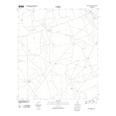 2010 Sand Mountain2010 Print · USGSThe ranchlands of Uvalde County come alive in the early twenty-first century, showing the critical intersection of the Nueces River and Smyth Crossing. Genealogists and researchers can trace local family holdings like Barkly Ranch and Weirbush Ranch alongside landmarks like Sand Mountain.
- 2013 Map of Sand Mountain, 2013 Print
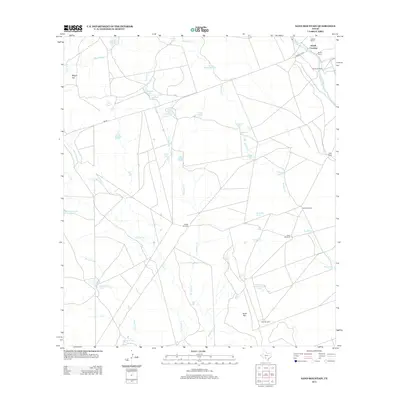 2013 Sand Mountain2013 Print · USGSUvalde County ranchlands are documented here in the early twenty-first century as the landscape transitions toward the Nueces River. Genealogists and historians can locate specific family properties like Anthon Ranch and landmarks like Smyth Crossing or Wagon Top.
- 2016 Map of Sand Mountain, 2016 Print
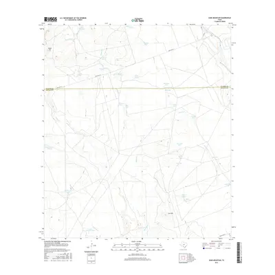 2016 Sand Mountain2016 Print · USGSThe ranchlands of Southwest Texas are laid bare in this mid-2010s survey, showing the intricate water-management system of the brush country. Researchers can trace the drainage of Mustang Cr and locate numerous historic water catchments such as Railroad Tank and Big Maverick Lake.
- 2019 Map of Sand Mountain, 2019 Print
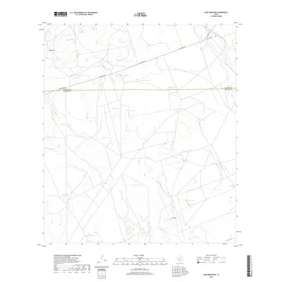 2019 Sand Mountain2019 Print · USGSIn the brush country of the Uvalde and Zavala county line, this modern survey documents a ranching landscape shaped by water and terrain. Researchers can map out early twenty-first-century land use through features like Sand Mtn, Railroad Tank, and the Nueces River.
- 2022 Map of Sand Mountain, 2022 Print
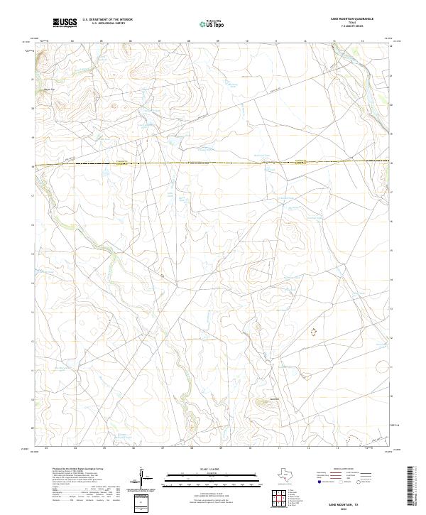 2022 Sand Mountain2022 Print · USGSZavala and Uvalde counties are mapped here in the early twenty-first century, showing a ranching landscape carved by seasonal waterways and high points. Researchers can trace land use through namesake features like Sand Mtn, Wagon Top, and the Nueces River.
End of results
Showing maps 1-12 of 12
Top cities near Smyth Crossing
Frequently asked questions
- What are the different types of historical maps available for Smyth Crossing?
- What is the oldest map of Smyth Crossing?
- Where can I purchase historical maps of Smyth Crossing for my home or office?
- Where can I download high-res historical maps of Smyth Crossing?
- Are there historical topographic maps available for Smyth Crossing?
- Is there historical aerial imagery available for Smyth Crossing?
- Where are historical maps of Smyth Crossing sourced from?