Old Maps of Roddy, Texas for Genealogy
Trace your family roots with 11 historic maps of Roddy. These high-res maps reveal old neighborhoods, homesites, landmarks, and streets — helping you uncover where your ancestors lived and how the area evolved over time.
- Explore historic neighborhoods: Identify where your relatives may have lived in the 1800s or 1900s.
- Compare maps over time: Trace the changes in streets, buildings, and landmarks for multi-generational research.
- Perfect for genealogy & ancestry research: Used by family historians and researchers to map out lineage and migration.
These maps are an incredible resource for exploring your personal connection to Roddy's past.
Roddy, TX maps
(11)- 1920 Map of Kemp
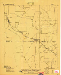 1920 Kemp1920 Print · USGSNortheast Texas at the start of the 1920s reveals a landscape of railroad towns and rural post offices at the junction of three counties. Genealogists can trace early homesteads and schoolhouses near Mabank, Prairieville, and Ansley.
 - 1954 Map of Dallas, 1963 Print
 1954 Dallas1963 Print · USGSNorth Texas in the mid-fifties and early sixties reveals a landscape of rapid urban growth and water management. Genealogists and historians can trace the evolution of the metroplex through landmarks like Hensley Field, Boles Orphan Home, and the Texas & Pacific RR.4 unique versions available
 - 1957 Map of Kemp
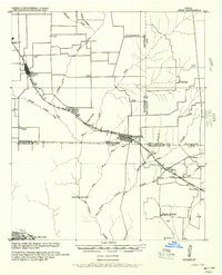 1957 Kemp1957 Print · USGSThe rural borders of Kaufman and Henderson counties come alive in this early twentieth-century survey of the Texas and New Orleans Railroad corridor. Researchers can trace defunct post offices and local landmarks like Ansley and the remote settlement at Prairieville.
 - 1958 Map of Dallas
 1958 Dallas1958 Print · USGSNorth Texas in the late fifties shows the dramatic expansion of the Metroplex as it absorbs surrounding farm towns. Genealogists and historians can trace old rail lines like the Missouri-Kansas-Texas and locate early lakefront developments at Eagle Mountain Lake and Lake Worth Village.
 - 1962 Map of Prairieville, 1965 Print
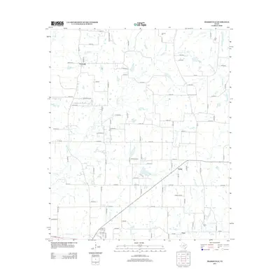
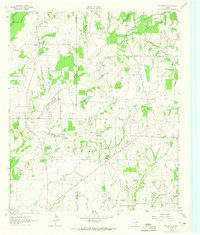 1962 Prairieville1965 Print · USGSThe Van Zandt County countryside comes into focus in the early sixties, showing the rural crossroads and creek-fed farms of the Texas interior. Trace family landmarks like the Aanonsen Cem, Fourmile Ch, and the small settlement at Prairieville.2 unique versions available
 - 1985 Map of Corsicana, 1986 Print
 1985 Corsicana1986 Print · USGSNorth Central Texas was defined by its expanding water reservoirs and deep-rooted rail corridors in the mid-eighties. Researchers can trace the heritage of local communities through landmarks like Southwestern Bible Institute, Navarro College, and rural markers such as Derrs Chapel.2 unique versions available
 - 2010 Map of Prairieville, 2010 Print
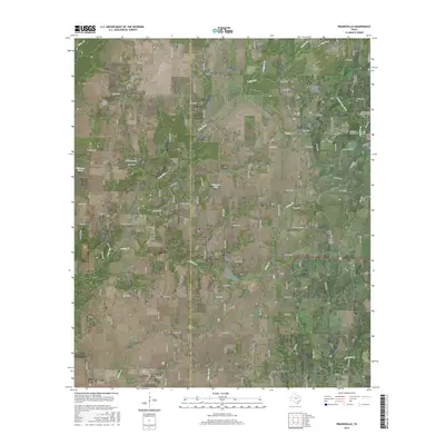
 2010 Prairieville2010 Print · USGSCovers Roddy, including Mabank, Prairieville, and other nearby areas
 - 2012 Map of Prairieville, 2012 Print
 2012 Prairieville2012 Print · USGSCovers Roddy, including Mabank, Prairieville, and other nearby areas
 - 2016 Map of Prairieville, 2016 Print
 2016 Prairieville2016 Print · USGSCovers Roddy, including Mabank, Prairieville, and other nearby areas
 - 2019 Map of Prairieville, 2019 Print
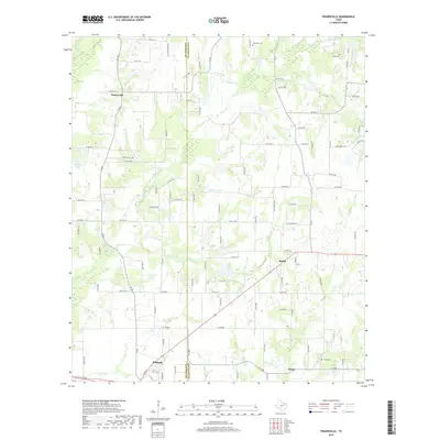 2019 Prairieville2019 Print · USGSCovers Roddy, including Mabank, Prairieville, and other nearby areas
 - 2022 Map of Prairieville, 2022 Print
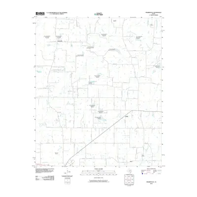
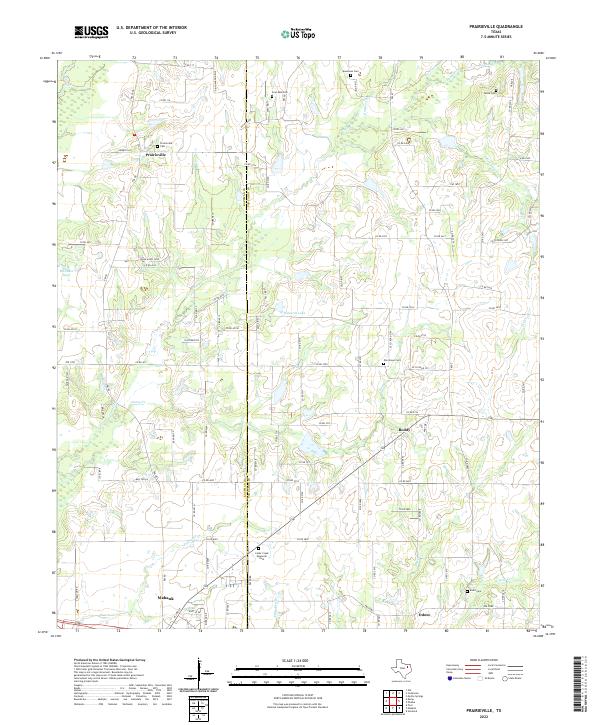 2022 Prairieville2022 Print · USGSThe rural borderlands of Van Zandt and Kaufman counties are detailed here in the early twenty-first century. Researchers can trace numerous local burial sites and family landmarks like Tarver Cem, Four Mile Cem, and the historic crossroads at Prairieville.
End of results
Showing maps 1-11 of 11
Top cities near Roddy
- Athens historical maps
- Gun Barrel City historical maps
- Canton historical maps
- Canton historical maps
- Mabank historical maps
- Tool historical maps
See more
Frequently asked questions
- What are the different types of historical maps available for Roddy?
- What is the oldest map of Roddy?
- Where can I purchase historical maps of Roddy for my home or office?
- Where can I download high-res historical maps of Roddy?
- Are there historical topographic maps available for Roddy?
- Is there historical aerial imagery available for Roddy?
- Where are historical maps of Roddy sourced from?