Old Maps of Hughes, Texas for Metal Detecting
Plan your next treasure hunt with 11 historic maps of Hughes. Find old homesites, ghost towns, trails, and gathering spots that may be lost to time — perfect for identifying promising metal detecting locations.
- Locate forgotten sites: Uncover places like long-lost settlements, abandoned rail lines, or gathering spots.
- Plan better hunts: Use map overlays combined with LiDAR or satellite views to narrow in on historically rich areas.
- Made for detectorists: Thousands of hobbyists use these maps to discover relics, coins, and hidden history.
Use these historic maps to boost your research and find new opportunities beneath the surface of Hughes.
Hughes, TX maps
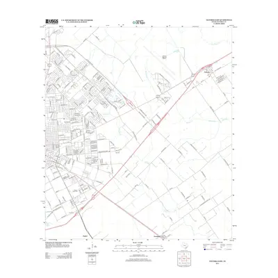
(11)- 1952 Map of Victoria East, 1953 Print
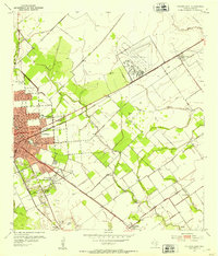 1952 Victoria East1953 Print · USGSVictoria enters the early fifties as a thriving center of energy and education. Trace local family history and industrial growth through sites like Victoria College, the Foster Field airbase, and community hubs like Mt Olive Ch.2 unique versions available
 - 1953 Map of Beeville
 1953 Beeville1953 Print · USGSThe Texas Coastal Bend in the early fifties shows a landscape of growing regional hubs and vital maritime corridors. Trace the rail-and-river economy through Goliad, locate the Matagorda Lighthouse, and explore the sprawling Aransas National Wildlife Refuge.
 - 1956 Map of Beeville
 1956 Beeville1956 Print · USGSCoastal Texas and the brush country interior are shown in the mid-fifties, from the coastal bays to the inland oil fields. Trace the old rail lines of the Southern Pacific RR or locate the historic Matagorda Lighthouse and the Aransas National Wildlife Refuge.2 unique versions available
 - 1960 Map of Beeville
 1960 Beeville1960 Print · USGSCoastal Texas in the mid-fifties reveals a landscape of growing towns and vital military outposts like Foster AFB. Researchers can trace old rail lines including the Missouri Pacific and explore the vast Aransas National Wildlife Refuge.
 - 1984 Map of Port Lavaca
 1984 Port Lavaca1984 Print · USGSCoastal Texas in the mid-1980s reveals a landscape of industrial waterways and historic rail corridors. Genealogists and historians can trace family roots through settlements like Bloomington and La Ward or explore the transit networks of the Southern Pacific and Missouri Pacific.
 - 1995 Map of Victoria East
 1995 Victoria East1995 Print · USGSVictoria expanded toward the Coastal Bend in the nineties, blending a deep-rooted educational landscape with industrial growth. Genealogists can trace family landmarks like Resurrection Cemetery and the Incarnate Word Convent or locate vanished sites near Telferner.
 - 2010 Map of Victoria East, 2010 Print
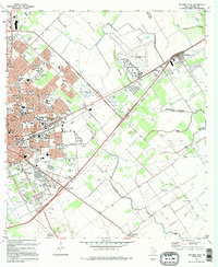
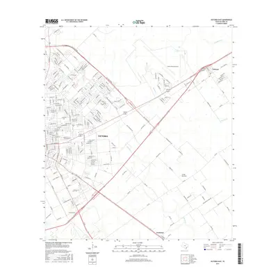
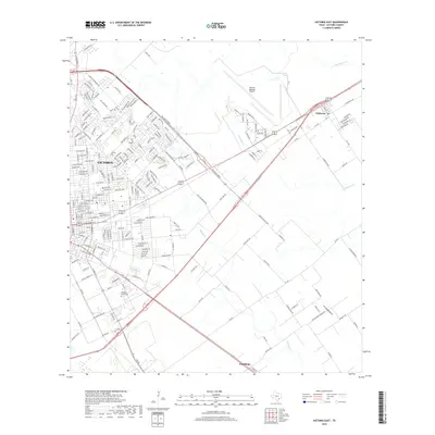
 2010 Victoria East2010 Print · USGSCovers Hughes, including Victoria, Guadalupe, and other nearby areas
 - 2013 Map of Victoria East, 2013 Print
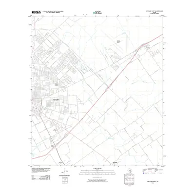
 2013 Victoria East2013 Print · USGSCovers Hughes, including Victoria, Guadalupe, and other nearby areas
 - 2016 Map of Victoria East, 2016 Print
 2016 Victoria East2016 Print · USGSCovers Hughes, including Victoria, Guadalupe, and other nearby areas
 - 2019 Map of Victoria East, 2019 Print
 2019 Victoria East2019 Print · USGSCovers Hughes, including Victoria, Guadalupe, and other nearby areas
 - 2022 Map of Victoria East, 2022 Print
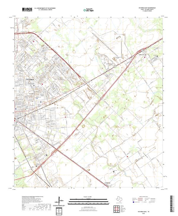 2022 Victoria East2022 Print · USGSVictoria and the surrounding coastal plains are shown here in the modern era as they navigate the balance between urban growth and rural heritage. Researchers can locate numerous local burial sites like Girdy Cem and Hill Cem or trace the early foundations of University of Houston - Victoria.
End of results
Showing maps 1-11 of 11
Top cities near Hughes
Frequently asked questions
- What are the different types of historical maps available for Hughes?
- What is the oldest map of Hughes?
- Where can I purchase historical maps of Hughes for my home or office?
- Where can I download high-res historical maps of Hughes?
- Are there historical topographic maps available for Hughes?
- Is there historical aerial imagery available for Hughes?
- Where are historical maps of Hughes sourced from?