Old Maps of Gospel Hill, Texas
Explore 11 old maps of Gospel Hill, spanning from 1954 to today. These high-resolution historic maps reveal how streets, neighborhoods, landmarks, and natural features evolved over time — perfect for genealogy, metal detecting, research, and local history exploration.
What you can do with these maps:
- See how Gospel Hill changed over time: Compare historical maps to modern-day views to trace roads, homesites, rail lines & more.
- View detailed metadata: Each map includes creators, publishers, year, scale, and archive source.
- Overlay maps with satellite & LiDAR: Visualize the past alongside modern tools to explore terrain & human change.
- Trusted historical sources: Maps sourced from the USGS, Library of Congress, and other archives.
- Access maps your way: View online, download high-res files, or order prints for personal or research use.
Start exploring old maps of Gospel Hill to uncover forgotten places, hidden landmarks, and the deep history beneath your feet.
Gospel Hill, TX maps
(11)- 1954 Map of Beaumont, 1964 Print
 1954 Beaumont1964 Print · USGSSoutheast Texas in the mid-fifties reveals a landscape of massive national forests, emerging reservoirs, and a booming oil economy. Genealogists and researchers can trace rural settlements like Dallardsville and Village Mills or locate early drilling sites at Sour Lake Oil Field.3 unique versions available
 - 1957 Map of Beaumont
 1957 Beaumont1957 Print · USGSSoutheast Texas in the mid-fifties is defined by the timber-rich lands between the Trinity River and Beaumont. Trace the history of the Alabama and Coushatti Indian Reservation or locate early campus sites like Prairie View College.
 - 1961 Map of Staley, 1962 Print
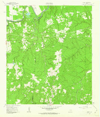 1961 Staley1962 Print · USGSDeep in the Piney Woods of the early sixties, this survey shows the rugged creek drainages and forest boundaries along the San Jacinto and Walker county lines. Trace family history through local landmarks like Gospel Hill Sch, Staley (Embryfield), and Community Relief Cem.2 unique versions available
 - 1984 Map of Beaumont
 1984 Beaumont1984 Print · USGSSoutheast Texas in the late seventies and early eighties shows a landscape of expanding reservoirs and deep timber industry. Researchers can trace the development of the Sam Houston National Forest or locate regional landmarks like Grabbs Prairie and the Wynne State Prison Farm.3 unique versions available
 - 1985 Map of Huntsville
 1985 Huntsville1985 Print · USGSThe East Texas piney woods and the Trinity River basin are captured here in the mid-1980s. Genealogists and historians can trace family locations near Old Waverly, Gospel Hill Ch, and the State Prison Farm during this era of regional growth.2 unique versions available
 - 1997 Map of Staley, 2000 Print
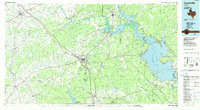
 1997 Staley2000 Print · USGSThe Sam Houston National Forest meets the Trinity River in the late nineties, documenting the landscape around Staley (Embryfield). Genealogists can trace family landmarks like Gospel Hill Cemetery and Chapel Church.
 - 2010 Map of Staley, 2010 Print
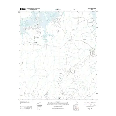
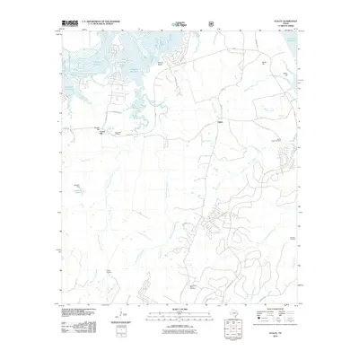 2010 Staley2010 Print · USGSCovers Gospel Hill, including Staley, Walker County, and other nearby areas
 - 2013 Map of Staley, 2013 Print
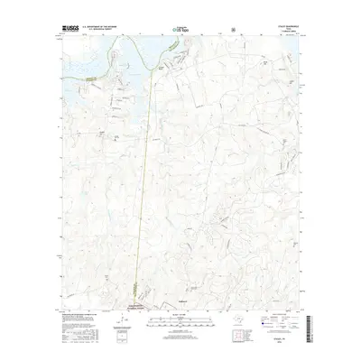
 2013 Staley2013 Print · USGSCovers Gospel Hill, including Staley, Walker County, and other nearby areas
 - 2016 Map of Staley, 2016 Print
 2016 Staley2016 Print · USGSCovers Gospel Hill, including Staley, Walker County, and other nearby areas
 - 2019 Map of Staley, 2019 Print
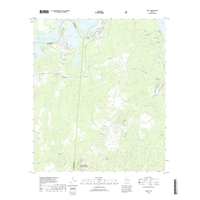 2019 Staley2019 Print · USGSCovers Gospel Hill, including Staley, Walker County, and other nearby areas
 - 2022 Map of Staley, 2022 Print
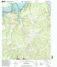
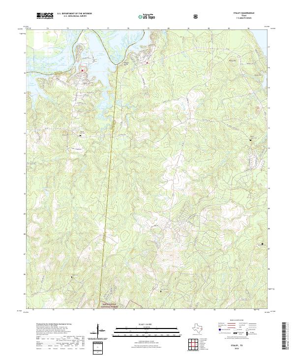 2022 Staley2022 Print · USGSThe northern reaches of the reservoir meet the deep timberlands of San Jacinto and Walker counties in the early 2020s. Trace family roots at Gospel Hill Cem and Lone Star Cem or explore the trails of the Sam Houston National Forest.
End of results
Showing maps 1-11 of 11
Top cities near Gospel Hill
- Huntsville historical maps
- Trinity historical maps
- Onalaska historical maps
- Groveton historical maps
- Riverside historical maps
Frequently asked questions
- What are the different types of historical maps available for Gospel Hill?
- What is the oldest map of Gospel Hill?
- Where can I purchase historical maps of Gospel Hill for my home or office?
- Where can I download high-res historical maps of Gospel Hill?
- Are there historical topographic maps available for Gospel Hill?
- Is there historical aerial imagery available for Gospel Hill?
- Where are historical maps of Gospel Hill sourced from?