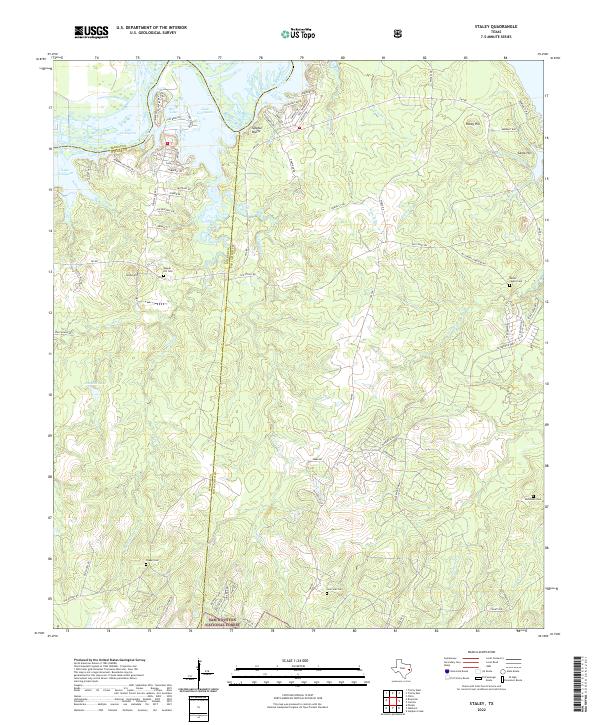
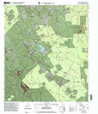
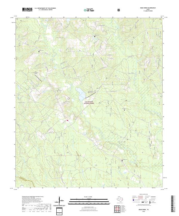
2022 Map of Staley
USGS Topo · Published 2022This historical map portrays the area of Staley in 2022, primarily covering San Jacinto County as well as portions of Trinity County and Walker County. Featuring a scale of 1:24000, this map provides a highly detailed snapshot of the terrain, roads, buildings, counties, and historical landmarks in the Staley region at the time. Published in 2022, it is the sole known edition of this map.
Map Details
Editions of this 2022 Staley Map
This is the sole edition of this map. No revisions or reprints were ever made.
Historical Maps of Gospel Hill Through Time
22 maps found
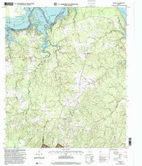
1958 Bear Creek
San Jacinto County, TX
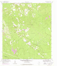
1958 Westcott
San Jacinto County, TX
1959 Conroe NE
San Jacinto County, TX
1960 Camilla
San Jacinto County, TX
1960 Carlisle
San Jacinto County, TX
1960 Maynard
San Jacinto County, TX
1960 Stephen Creek
San Jacinto County, TX
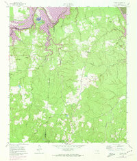
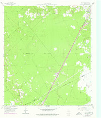
1961 Staley
San Jacinto County, TX
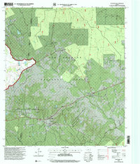
1997 Bear Creek
San Jacinto County, TX
1997 Camilla
San Jacinto County, TX
1997 Conroe NE
San Jacinto County, TX
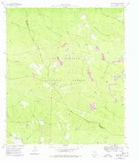
1997 Maynard
San Jacinto County, TX
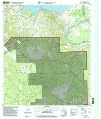
1997 Staley
San Jacinto County, TX
1997 Stephen Creek
San Jacinto County, TX
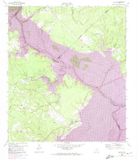
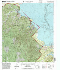
2022 Bear Creek
San Jacinto County, TX
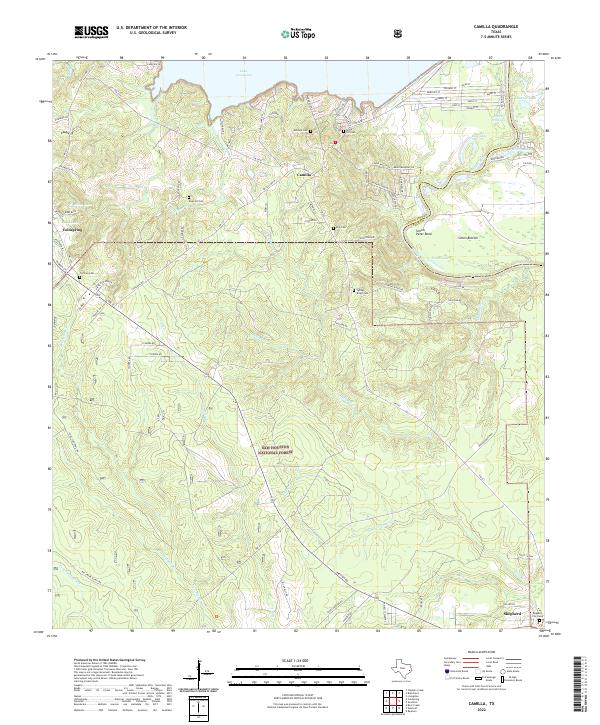
2022 Camilla
San Jacinto County, TX
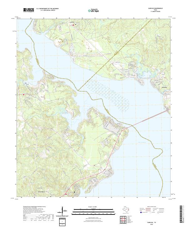
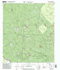
2022 Carlisle
San Jacinto County, TX
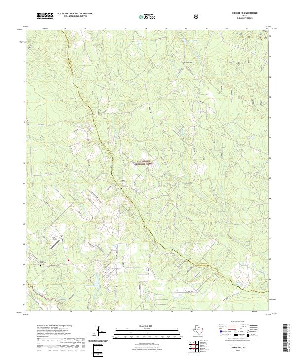
2022 Conroe NE
San Jacinto County, TX
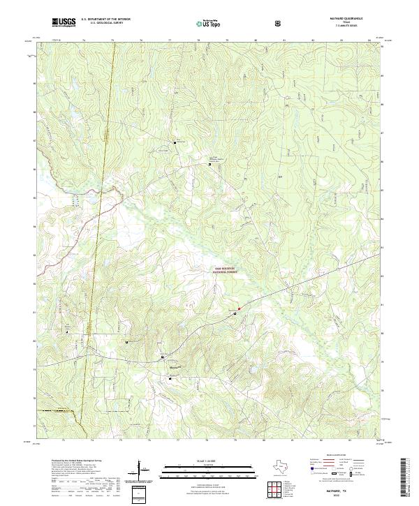
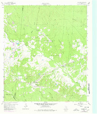
2022 Maynard
San Jacinto County, TX
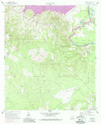
2022 Staley
San Jacinto County, TX
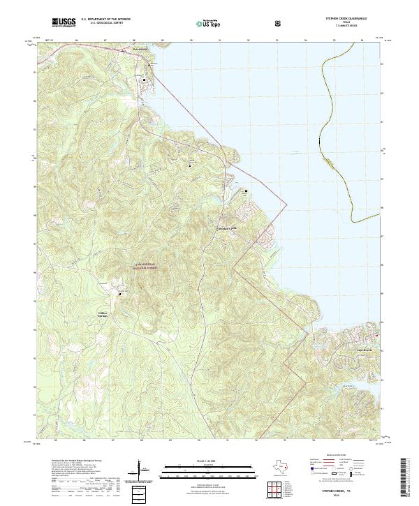
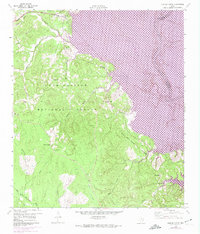
2022 Stephen Creek
San Jacinto County, TX
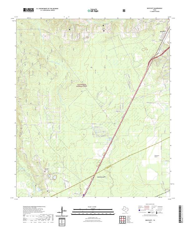
2022 Westcott
San Jacinto County, TX