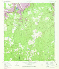
1961 Map of Staley
USGS Topo · Published 1974About this map
The Trinity River and the expanding waters of Lake Livingston define this landscape along the borders of Walker and San Jacinto counties. The 1972 revisions highlighted in purple capture the significant impact of the reservoir on the lowland topography, inundating many areas near Sulphur Bluffs and Belle and Ford Lake. On the higher ground, the map reveals a scattered network of rural institutions, including the Gospel Hill Sch and Gospel Hill Cem, alongside the small community of Staley (Embryfield).
Find a feature on this map
36 named features on this map. Tap any name to fly to it.
Don’t see what you’re looking for? This feature index may not catch every label — zoom into the map to look around manually.
Map Details
Editions of this 1961 Staley Map
2 editions found
Other maps of this area

1954 · Beaumont
USGS Topo · 1:250,000

1957 · Beaumont
USGS Topo · 1:250,000

1960 · Trinity West
USGS Topo · 1:24,000

1960 · Trinity East
USGS Topo · 1:24,000

1960 · Carlisle
USGS Topo · 1:24,000

1960 · Stephen Creek
USGS Topo · 1:24,000

1960 · Phelps
USGS Topo · 1:24,000

1961 · Staley
USGS Topo · 1:24,000

1961 · Riverside
USGS Topo · 1:24,000

1961 · Oakhurst
USGS Topo · 1:24,000