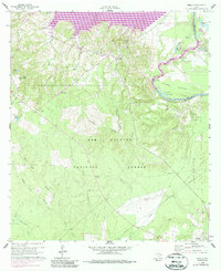
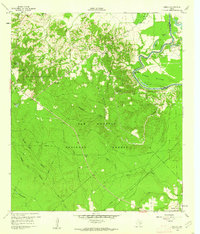
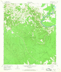
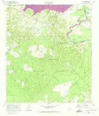
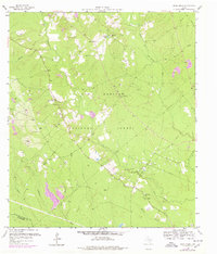
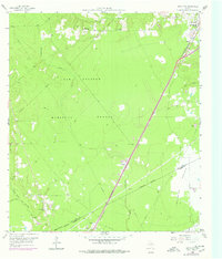
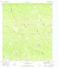
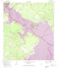
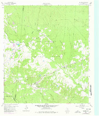
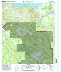
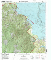
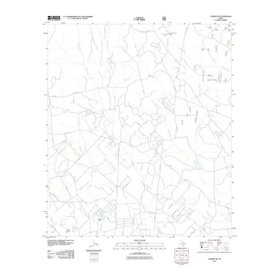
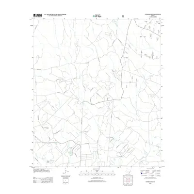
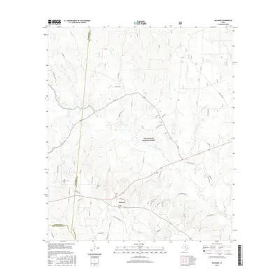
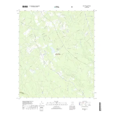
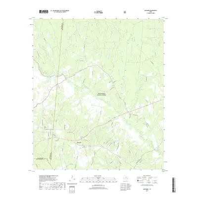
1960 Map of Camilla
USGS Topo · Published 1987About this map
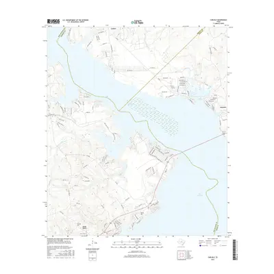
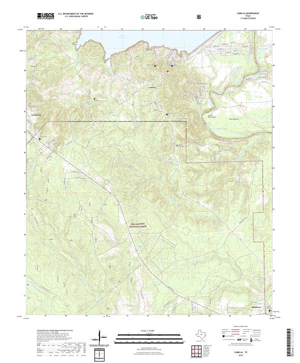
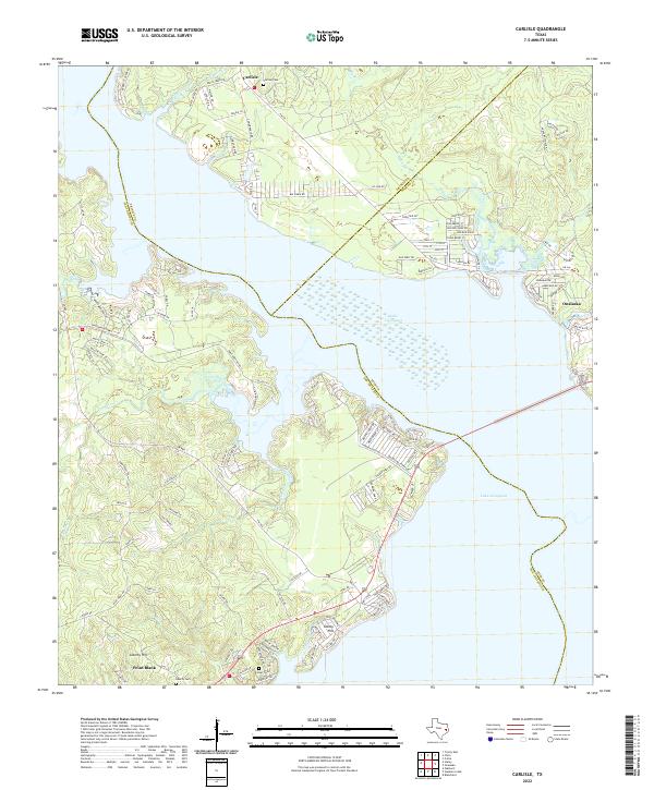
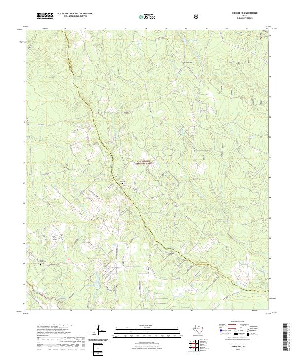
The Sam Houston National Forest dominates this landscape along the border of San Jacinto and Polk Counties, preserving a snapshot of the region as it transitioned in the mid-20th century. To the north, the waters of Lake Livingston have begun to alter the traditional drainage of Rocky Creek and Mill Creek, while the Trinity River continues its winding course through the fertile Simon Bottom and past Simon Peter Bend.
Find a feature on this map
37 named features on this map. Tap any name to fly to it.
Don’t see what you’re looking for? This feature index may not catch every label — zoom into the map to look around manually.
Map Details
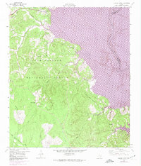
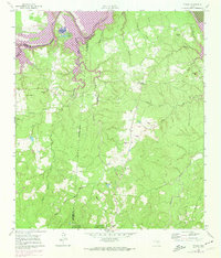
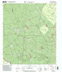
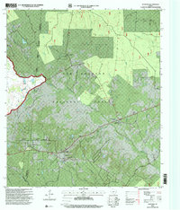
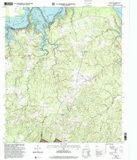
Editions of this 1960 Camilla Map
4 editions found
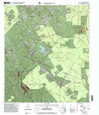
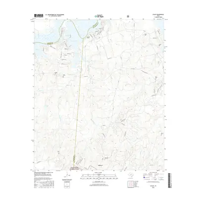
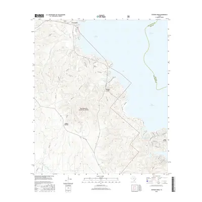
Historical Maps of Shepherd Through Time
54 maps found
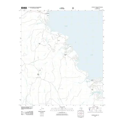
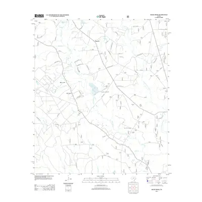
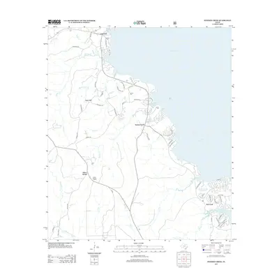
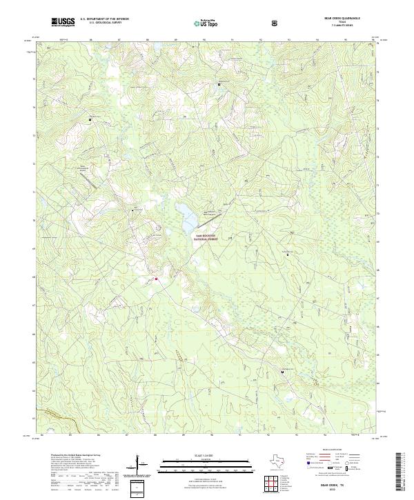
1958 Bear Creek
San Jacinto County, TX
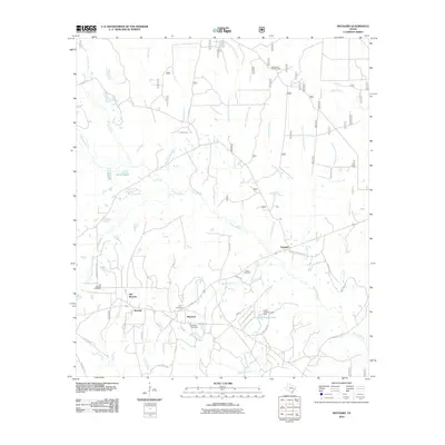
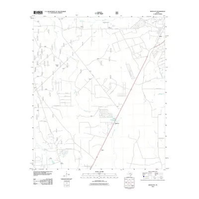
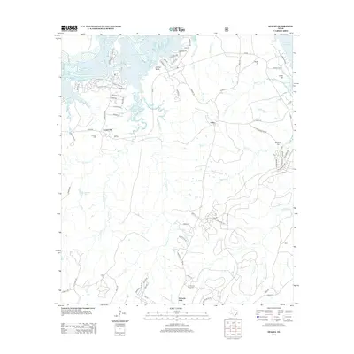
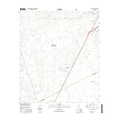
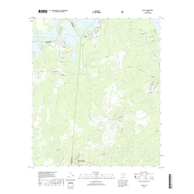
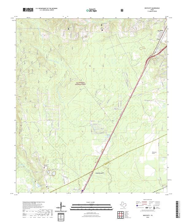
1958 Westcott
San Jacinto County, TX
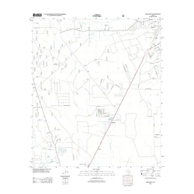
1959 Conroe NE
San Jacinto County, TX
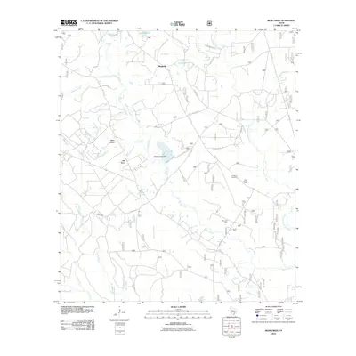
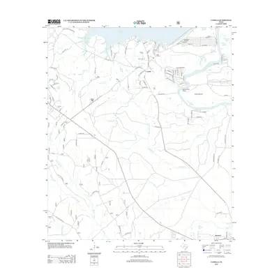
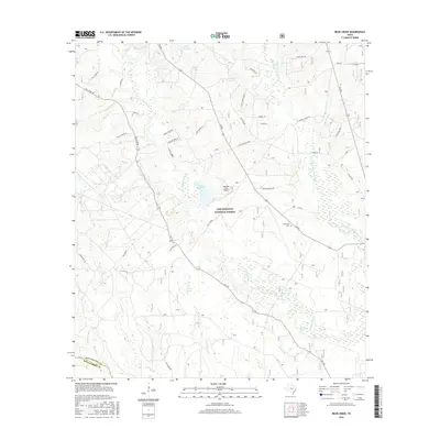
1960 Camilla
San Jacinto County, TX
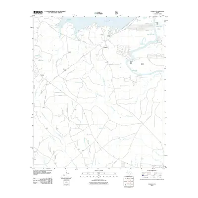
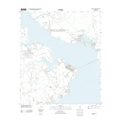
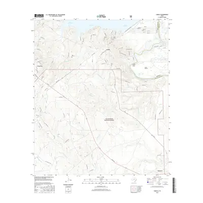
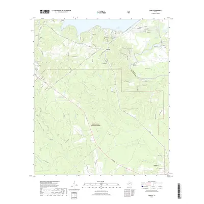
1960 Carlisle
San Jacinto County, TX
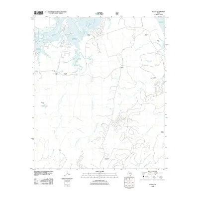
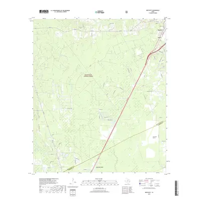
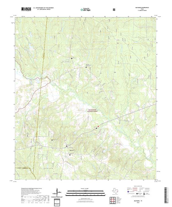
1960 Maynard
San Jacinto County, TX
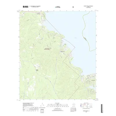
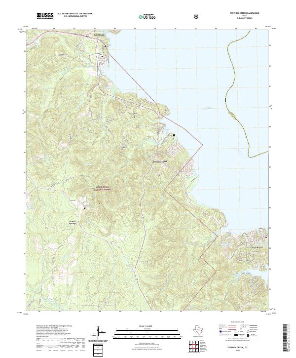
1960 Stephen Creek
San Jacinto County, TX
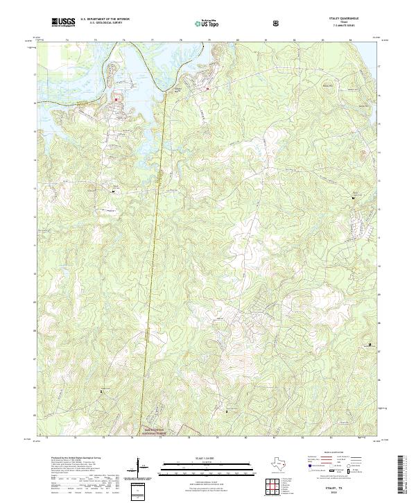
1961 Staley
San Jacinto County, TX
1997 Bear Creek
San Jacinto County, TX
1997 Camilla
San Jacinto County, TX
1997 Conroe NE
San Jacinto County, TX
1997 Maynard
San Jacinto County, TX
1997 Staley
San Jacinto County, TX
1997 Stephen Creek
San Jacinto County, TX
2010 Bear Creek
San Jacinto County, TX
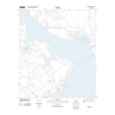
2010 Camilla
San Jacinto County, TX
2010 Carlisle
San Jacinto County, TX
2010 Conroe NE
San Jacinto County, TX
2010 Maynard
San Jacinto County, TX
2010 Staley
San Jacinto County, TX
2010 Stephen Creek
San Jacinto County, TX
2010 Westcott
San Jacinto County, TX
2013 Bear Creek
San Jacinto County, TX
2013 Camilla
San Jacinto County, TX
2013 Carlisle
San Jacinto County, TX
2013 Conroe NE
San Jacinto County, TX

2013 Maynard
San Jacinto County, TX
2013 Staley
San Jacinto County, TX
2013 Stephen Creek
San Jacinto County, TX
2013 Westcott
San Jacinto County, TX
2016 Bear Creek
San Jacinto County, TX
2016 Camilla
San Jacinto County, TX
2016 Carlisle
San Jacinto County, TX
2016 Conroe NE
San Jacinto County, TX
2016 Maynard
San Jacinto County, TX
2016 Staley
San Jacinto County, TX
2016 Stephen Creek
San Jacinto County, TX
2016 Westcott
San Jacinto County, TX
2019 Bear Creek
San Jacinto County, TX
2019 Camilla
San Jacinto County, TX
2019 Carlisle
San Jacinto County, TX
2019 Conroe NE
San Jacinto County, TX
2019 Maynard
San Jacinto County, TX
2019 Staley
San Jacinto County, TX
2019 Stephen Creek
San Jacinto County, TX
2019 Westcott
San Jacinto County, TX
2022 Bear Creek
San Jacinto County, TX
2022 Camilla
San Jacinto County, TX
2022 Carlisle
San Jacinto County, TX
2022 Conroe NE
San Jacinto County, TX
2022 Maynard
San Jacinto County, TX
2022 Staley
San Jacinto County, TX
2022 Stephen Creek
San Jacinto County, TX
2022 Westcott
San Jacinto County, TX