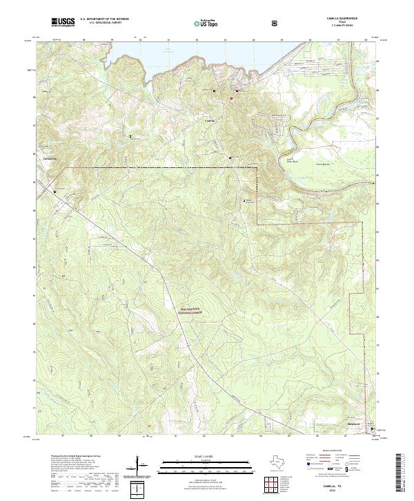
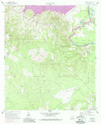
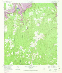
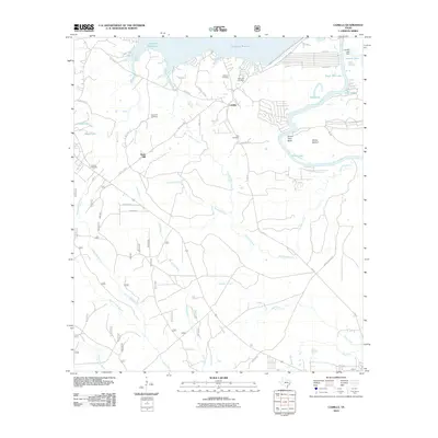
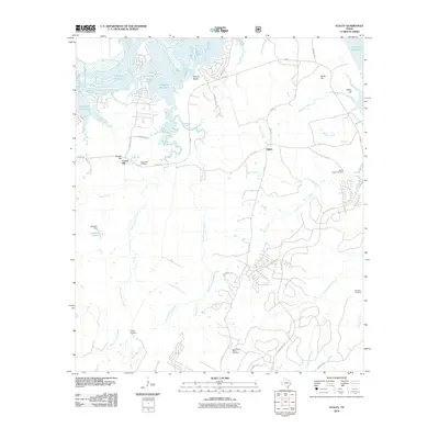
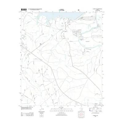
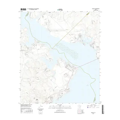
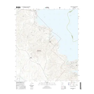
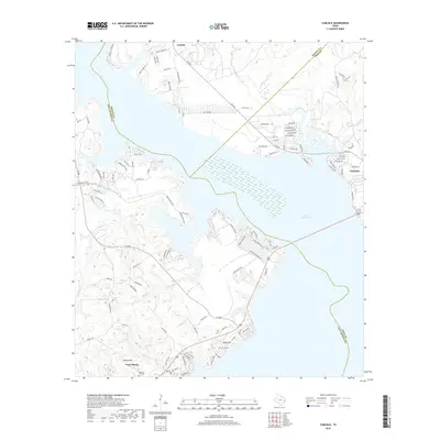
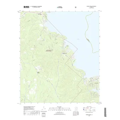
2022 Map of Camilla
USGS Topo · Published 2022About this map
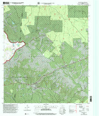
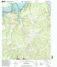
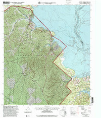
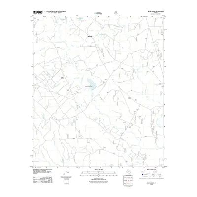
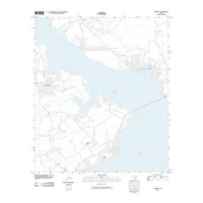
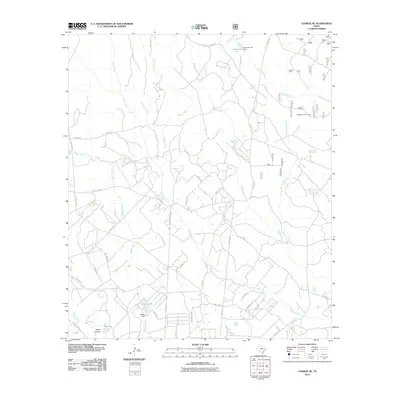
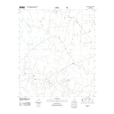
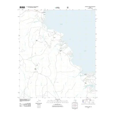
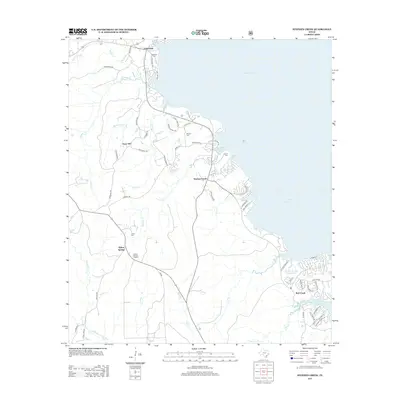
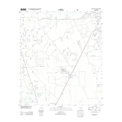
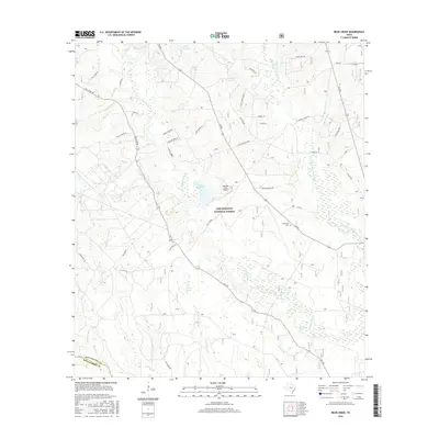
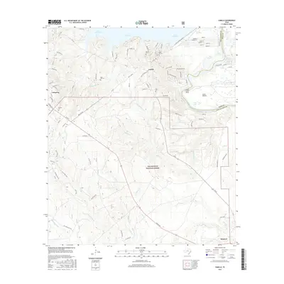
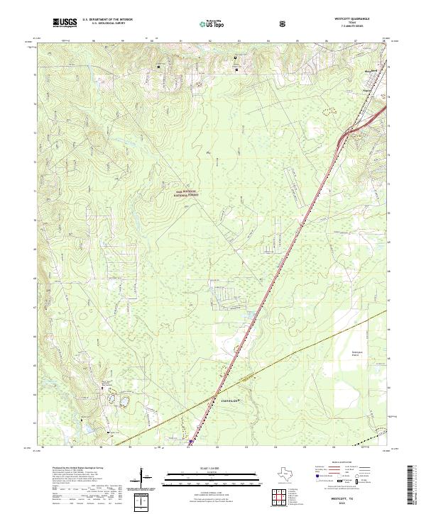
The Sam Houston National Forest covers much of this landscape, where the wooded uplands of San Jacinto County meet the expansive waters of Lake Livingston. The map captures a transition from the dense forest to the managed timberlands and riparian corridors of the Trinity River basin. Several small settlements, including Camilla, Coldspring, and Shepherd, are documented alongside numerous family-named burial grounds like Mitchell Cem and Milby Hill Cem.
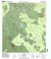
Find a feature on this map
100 named features on this map. Tap any name to fly to it.
Don’t see what you’re looking for? This feature index may not catch every label — zoom into the map to look around manually.
Map Details
Editions of this 2022 Camilla Map
This is the sole edition of this map. No revisions or reprints were ever made.
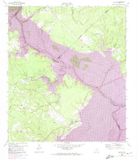
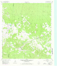
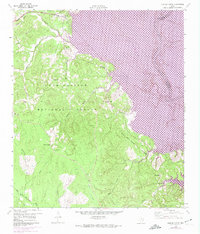
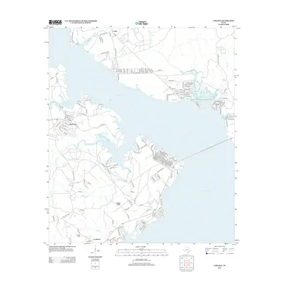
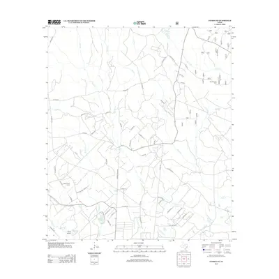
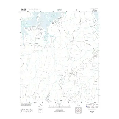
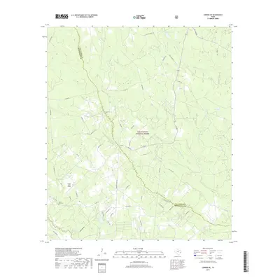
Historical Maps of Shepherd Through Time
54 maps found
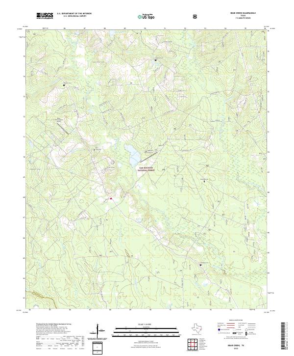
1958 Bear Creek
San Jacinto County, TX
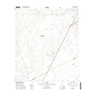
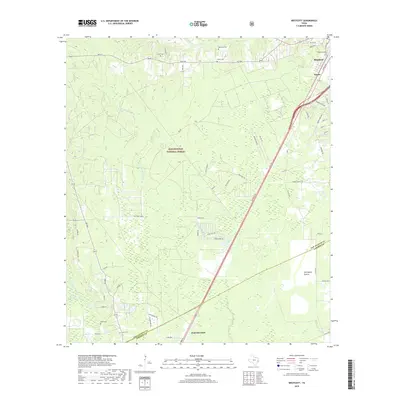
1958 Westcott
San Jacinto County, TX
1959 Conroe NE
San Jacinto County, TX
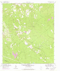
1960 Camilla
San Jacinto County, TX
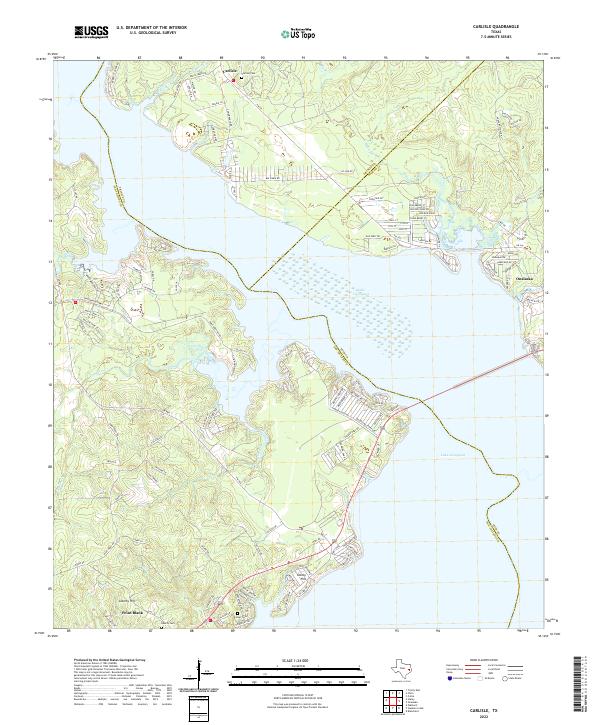
1960 Carlisle
San Jacinto County, TX
1960 Maynard
San Jacinto County, TX
1960 Stephen Creek
San Jacinto County, TX
1961 Staley
San Jacinto County, TX
1997 Bear Creek
San Jacinto County, TX
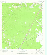
1997 Camilla
San Jacinto County, TX
1997 Conroe NE
San Jacinto County, TX
1997 Maynard
San Jacinto County, TX
1997 Staley
San Jacinto County, TX
1997 Stephen Creek
San Jacinto County, TX
2010 Bear Creek
San Jacinto County, TX
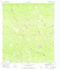
2010 Camilla
San Jacinto County, TX
2010 Carlisle
San Jacinto County, TX
2010 Conroe NE
San Jacinto County, TX
2010 Maynard
San Jacinto County, TX
2010 Staley
San Jacinto County, TX
2010 Stephen Creek
San Jacinto County, TX
2010 Westcott
San Jacinto County, TX
2013 Bear Creek
San Jacinto County, TX
2013 Camilla
San Jacinto County, TX
2013 Carlisle
San Jacinto County, TX
2013 Conroe NE
San Jacinto County, TX

2013 Maynard
San Jacinto County, TX
2013 Staley
San Jacinto County, TX
2013 Stephen Creek
San Jacinto County, TX
2013 Westcott
San Jacinto County, TX
2016 Bear Creek
San Jacinto County, TX
2016 Camilla
San Jacinto County, TX
2016 Carlisle
San Jacinto County, TX
2016 Conroe NE
San Jacinto County, TX
2016 Maynard
San Jacinto County, TX
2016 Staley
San Jacinto County, TX
2016 Stephen Creek
San Jacinto County, TX
2016 Westcott
San Jacinto County, TX
2019 Bear Creek
San Jacinto County, TX
2019 Camilla
San Jacinto County, TX
2019 Carlisle
San Jacinto County, TX
2019 Conroe NE
San Jacinto County, TX
2019 Maynard
San Jacinto County, TX
2019 Staley
San Jacinto County, TX
2019 Stephen Creek
San Jacinto County, TX
2019 Westcott
San Jacinto County, TX
2022 Bear Creek
San Jacinto County, TX
2022 Camilla
San Jacinto County, TX
2022 Carlisle
San Jacinto County, TX
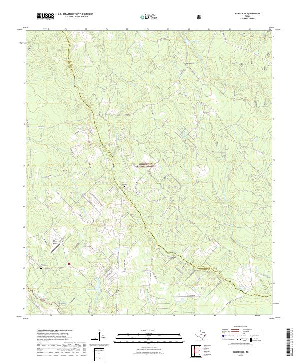
2022 Conroe NE
San Jacinto County, TX
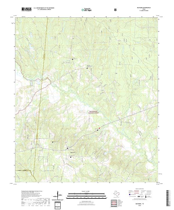
2022 Maynard
San Jacinto County, TX
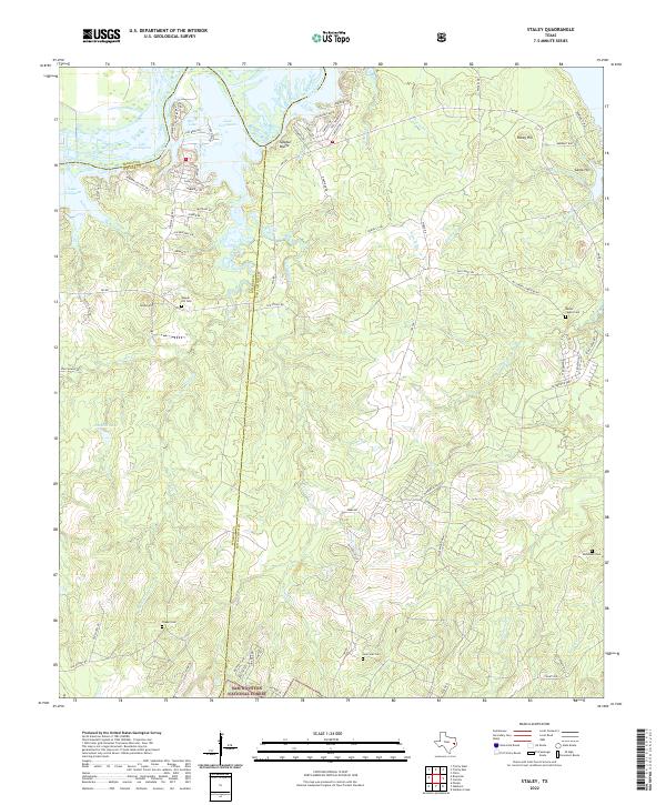
2022 Staley
San Jacinto County, TX
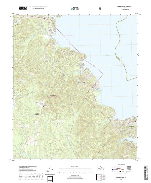
2022 Stephen Creek
San Jacinto County, TX
2022 Westcott
San Jacinto County, TX