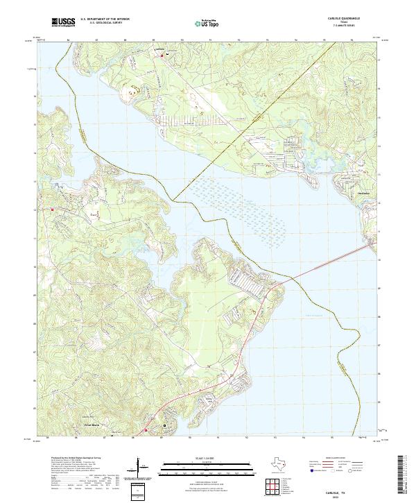
2022 Map of Carlisle
USGS Topo · Published 2022About this map
Lake Livingston dominates this East Texas landscape, where the waters meet the heavily wooded shorelines of San Jacinto, Trinity, and Polk counties. The settlement of Carlisle sits at the northern edge of the sheet near Carlisle Cem, while the town of Onalaska occupies the eastern bank where Clear Cr enters the reservoir. To the southwest, Point Blank and Liberty Hill are situated among a network of smaller drainages like Palmetto Cr and Mill Cr. This modern survey reveals a region defined by lakeside residential development and recreation, with numerous local roads branching toward the water from FM 356. Local history is preserved in several small burial grounds, including Foster Cem and Liberty Cem, which remain as markers of the rural communities that existed before the lake's creation.
Find a feature on this map
120 named features on this map. Tap any name to fly to it.
Don’t see what you’re looking for? This feature index may not catch every label — zoom into the map to look around manually.
Map Details
Editions of this 2022 Carlisle Map
This is the sole edition of this map. No revisions or reprints were ever made.
Other maps of this area

1954 · Beaumont
USGS Topo · 1:250,000

1957 · Beaumont
USGS Topo · 1:250,000

1960 · Blanchard
USGS Topo · 1:24,000

1960 · Colita
USGS Topo · 1:24,000

1960 · Trinity East
USGS Topo · 1:24,000

1960 · Carlisle
USGS Topo · 1:24,000

1960 · Stephen Creek
USGS Topo · 1:24,000

1961 · Staley
USGS Topo · 1:24,000

1961 · Onalaska
USGS Topo · 1:24,000

1961 · Oakhurst
USGS Topo · 1:24,000