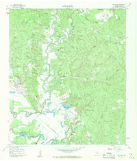
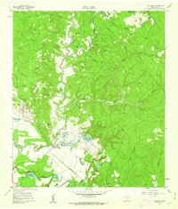
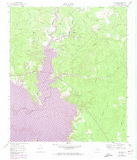
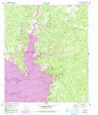
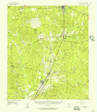
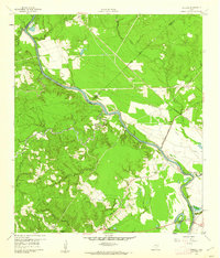
1961 Map of Onalaska
USGS Topo · Published 1962About this map
Kickapoo Creek winds through this East Texas landscape, providing the central drainage for a region characterized by numerous named branches and sloughs just before the 1960s. The settlement of Onalaska serves as the primary hub, surrounded by a network of rural landmarks including St Andrew Ch and the Onalaska Lookout. The mapping of an Old Railroad Grade and several rural schools, such as Rocky Ford Sch and Blanchard Sch, provides clear evidence of the area's earlier timber or transport economy and its established community roots. Numerous family-named cemeteries, including Magnolia Cem and Robinett Cem, are scattered across the terrain near Sandy Creek and Rocky Creek, offering valuable data for genealogical research. The presence of a Flowing Well and Gravel Pit further illustrates the local interaction with the land's natural resources during this era.
Find a feature on this map
41 named features on this map. Tap any name to fly to it.
Don’t see what you’re looking for? This feature index may not catch every label — zoom into the map to look around manually.
Map Details
Editions of this 1961 Onalaska Map
4 editions found
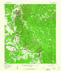
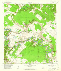
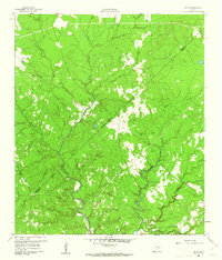
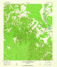
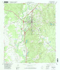
Other maps of this area

1954 · Beaumont
USGS Topo · 1:250,000
1955 · New Willard
USGS Topo · 1:62,500

1957 · Beaumont
USGS Topo · 1:250,000
1958 · Livingston
USGS Topo · 1:62,500
1960 · Blanchard
USGS Topo · 1:24,000
1960 · Colita
USGS Topo · 1:24,000
1960 · Carlisle
USGS Topo · 1:24,000
1960 · Stephen Creek
USGS Topo · 1:24,000

1984 · Beaumont
USGS Topo · 1:250,000
1984 · Livingston
USGS Topo · 1:24,000