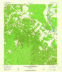
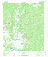
1961 Map of Onalaska
USGS Topo · Published 1974About this map
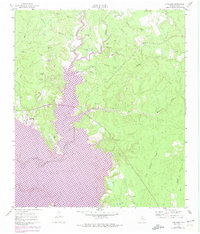
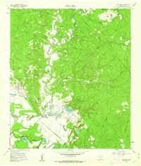
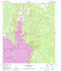
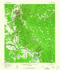
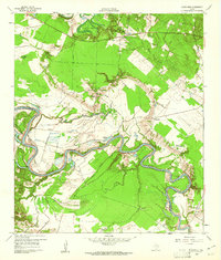
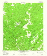
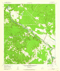
Lake Livingston dominates this landscape, its expansive waters shown here as they appeared following the 1972 photorevisions. This map captures the region at a critical turning point as the Kickapoo Creek drainage underwent controlled inundation, reshaping the terrain around Onalaska. The 1961 field data remains visible beneath the purple-shaded areas of the reservoir, preserving the locations of rural features now submerged or transformed by the rising shoreline.
Find a feature on this map
26 named features on this map. Tap any name to fly to it.
Don’t see what you’re looking for? This feature index may not catch every label — zoom into the map to look around manually.
Map Details
Editions of this 1961 Onalaska Map
4 editions found
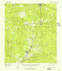
Other maps of this area

1954 · Beaumont
USGS Topo · 1:250,000
1955 · New Willard
USGS Topo · 1:62,500

1957 · Beaumont
USGS Topo · 1:250,000
1958 · Livingston
USGS Topo · 1:62,500
1960 · Blanchard
USGS Topo · 1:24,000
1960 · Colita
USGS Topo · 1:24,000
1960 · Carlisle
USGS Topo · 1:24,000
1960 · Stephen Creek
USGS Topo · 1:24,000
1961 · Onalaska
USGS Topo · 1:24,000

1984 · Beaumont
USGS Topo · 1:250,000