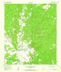
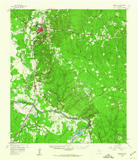
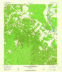
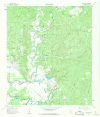
1961 Map of Onalaska
USGS Topo · Published 1962About this map
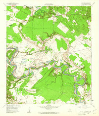
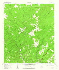
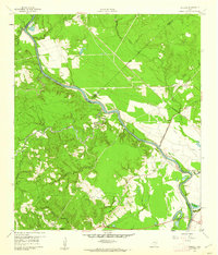
Onalaska and the surrounding piney woods of Polk County appear in this survey just before the landscape was forever altered by the creation of Lake Livingston. The intricate drainage network of Kickapoo Creek and Rocky Creek dominates the terrain, winding through a patchwork of small homesteads and family cemeteries such as Robinett Cem and Wright Cem. The presence of an Old Railroad Grade running through the southern section points to the area's timber-hauling past, connecting the small settlement of Kickapoo with outlying schools like Rocky Ford Sch. At this time, the bottomlands along Penwa Slough and Hardison Slough remained intact, punctuated by oxbow features like Horseshoe Lake. The map serves as a vital record for genealogists, pinpointing rural landmarks like St Andrew Ch and the Onalaska Lookout before the regional hydroelectric developments.
Find a feature on this map
36 named features on this map. Tap any name to fly to it.
Don’t see what you’re looking for? This feature index may not catch every label — zoom into the map to look around manually.
Map Details
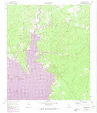
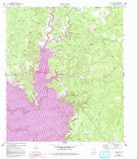
Editions of this 1961 Onalaska Map
4 editions found
Other maps of this area

1954 · Beaumont
USGS Topo · 1:250,000
1955 · New Willard
USGS Topo · 1:62,500

1957 · Beaumont
USGS Topo · 1:250,000
1958 · Livingston
USGS Topo · 1:62,500
1960 · Blanchard
USGS Topo · 1:24,000
1960 · Colita
USGS Topo · 1:24,000
1960 · Carlisle
USGS Topo · 1:24,000
1960 · Stephen Creek
USGS Topo · 1:24,000
1961 · Onalaska
USGS Topo · 1:24,000

1984 · Beaumont
USGS Topo · 1:250,000