Old Maps of Chappell Hill, Texas for Metal Detecting
Plan your next treasure hunt with 10 historic maps of Chappell Hill. Find old homesites, ghost towns, trails, and gathering spots that may be lost to time — perfect for identifying promising metal detecting locations.
- Locate forgotten sites: Uncover places like long-lost settlements, abandoned rail lines, or gathering spots.
- Plan better hunts: Use map overlays combined with LiDAR or satellite views to narrow in on historically rich areas.
- Made for detectorists: Thousands of hobbyists use these maps to discover relics, coins, and hidden history.
Use these historic maps to boost your research and find new opportunities beneath the surface of Chappell Hill.
Chappell Hill, TX maps
(10)- 1930 Map of Brenham, 1937 Print
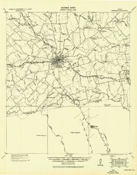 1930 Brenham1937 Print · USGSBrenham and Chapel Hill appear here during the interwar years as vital rail and agricultural centers for Washington County. Researchers can trace rural life through numerous labeled landmarks like the County Farm, Harrison Spring Church, and Polaski School.
 - 1954 Map of Austin, 1964 Print
 1954 Austin1964 Print · USGSCentral Texas is captured during a period of steady growth as the capital city and its neighboring farm towns began to modernize. Researchers can trace historic rail corridors like the Southern Pacific RR or locate landmarks such as Bergstrom Air Force Base and Pilot Knob.4 unique versions available
 - 1956 Map of Brenham
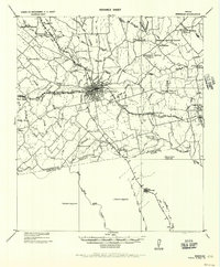 1956 Brenham1956 Print · USGSWashington County during the early twentieth century was a landscape of rail-connected towns and rural parish life. Genealogists can trace family locations near landmarks like Harrison Spring Church, Polaski School, and the County Farm.
 - 1963 Map of Chappell Hill, 1966 Print
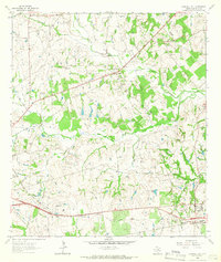 1963 Chappell Hill1966 Print · USGSWashington County settlement patterns in the early sixties reveal a landscape shaped by rural schools and family cemeteries. Trace local history through Petersville Sch, the Old Railroad Grade, and family sites like Roberts Cem.2 unique versions available
 - 1993 Map of Brenham
 1993 Brenham1993 Print · USGSTexas river country and the birthplace of the republic are showcased in the early nineties, centered on the confluence of the Brazos and Navasota. Researchers can trace the rail sidings of the Southern Pacific RR and locate historic community landmarks like St Paul Ch and Washington-on-the-Brazos State Park.
 - 2010 Map of Chappell Hill, 2010 Print
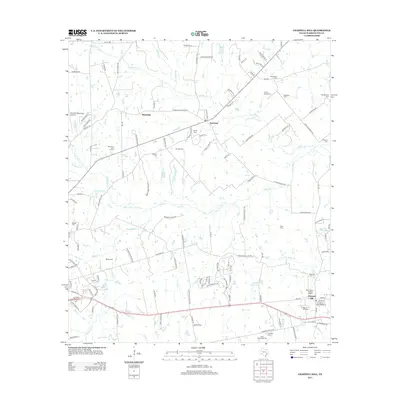
 2010 Chappell Hill2010 Print · USGSCovers Chappell Hill, including Brenham, Earlywine, and other nearby areas
 - 2013 Map of Chappell Hill, 2013 Print
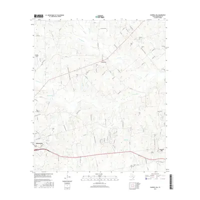
 2013 Chappell Hill2013 Print · USGSCovers Chappell Hill, including Brenham, Earlywine, and other nearby areas
 - 2016 Map of Chappell Hill, 2016 Print
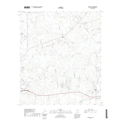
 2016 Chappell Hill2016 Print · USGSCovers Chappell Hill, including Brenham, Earlywine, and other nearby areas
 - 2019 Map of Chappell Hill, 2019 Print
 2019 Chappell Hill2019 Print · USGSCovers Chappell Hill, including Brenham, Earlywine, and other nearby areas
 - 2022 Map of Chappell Hill, 2022 Print
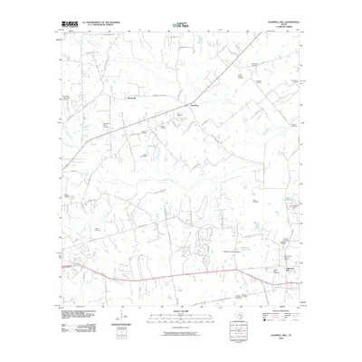
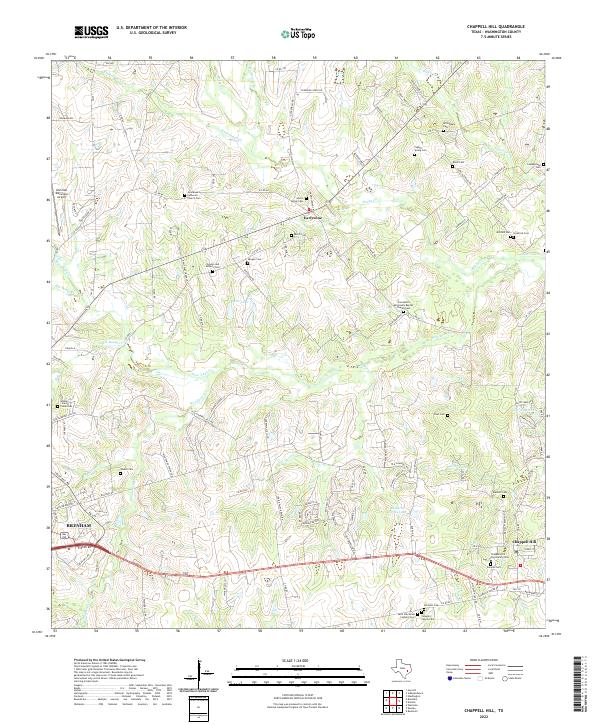 2022 Chappell Hill2022 Print · USGSWashington County during the early 2020s remains a landscape of deep-rooted family legacies and rural communities. Genealogists can trace local history through dozens of sites like the Chappell Hill Community Cem, Masonic Cem, and Earlywine.
End of results
Showing maps 1-10 of 10
Top cities near Chappell Hill
- Brenham historical maps
- Navasota historical maps
- Hempstead historical maps
- Bellville historical maps
- Pine Island historical maps
- Industry historical maps
Frequently asked questions
- What are the different types of historical maps available for Chappell Hill?
- What is the oldest map of Chappell Hill?
- Where can I purchase historical maps of Chappell Hill for my home or office?
- Where can I download high-res historical maps of Chappell Hill?
- Are there historical topographic maps available for Chappell Hill?
- Is there historical aerial imagery available for Chappell Hill?
- Where are historical maps of Chappell Hill sourced from?