Old Maps of Washington, Texas for Metal Detecting
Plan your next treasure hunt with 9 historic maps of Washington. Find old homesites, ghost towns, trails, and gathering spots that may be lost to time — perfect for identifying promising metal detecting locations.
- Locate forgotten sites: Uncover places like long-lost settlements, abandoned rail lines, or gathering spots.
- Plan better hunts: Use map overlays combined with LiDAR or satellite views to narrow in on historically rich areas.
- Made for detectorists: Thousands of hobbyists use these maps to discover relics, coins, and hidden history.
Use these historic maps to boost your research and find new opportunities beneath the surface of Washington.
Washington, TX maps
(9)- 1914 Map of Navasota
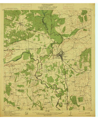 1914 Navasota1914 Print · USGSBefore the modernization of the Brazos valley, this 1910s era survey captures the thriving rail-and-river economy of Grimes and Washington counties. Genealogists can trace early homesteads and community hubs like Wilsons Gin, Prairie Church, and Grange Hall School.2 unique versions available
 - 1954 Map of Austin, 1964 Print
 1954 Austin1964 Print · USGSCentral Texas is captured during a period of steady growth as the capital city and its neighboring farm towns began to modernize. Researchers can trace historic rail corridors like the Southern Pacific RR or locate landmarks such as Bergstrom Air Force Base and Pilot Knob.4 unique versions available
 - 1958 Map of Washington, 1960 Print
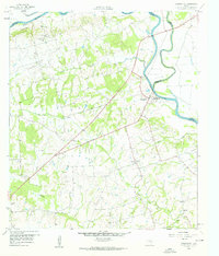 1958 Washington1960 Print · USGSThe confluence of the Brazos and Navasota rivers defines this part of Texas in the late fifties. Genealogists and historians can locate old rural landmarks like Tennyson Cem, St Matthew Sch, and the riverside settlement of Washington.3 unique versions available
 - 1993 Map of Brenham
 1993 Brenham1993 Print · USGSTexas river country and the birthplace of the republic are showcased in the early nineties, centered on the confluence of the Brazos and Navasota. Researchers can trace the rail sidings of the Southern Pacific RR and locate historic community landmarks like St Paul Ch and Washington-on-the-Brazos State Park.
 - 2010 Map of Washington, 2010 Print
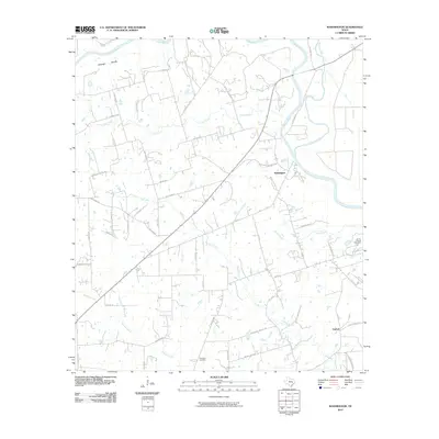 2010 Washington2010 Print · USGSCovers Washington, including Graball, Brazos County, and other nearby areas
 - 2013 Map of Washington, 2013 Print
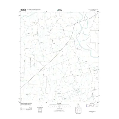 2013 Washington2013 Print · USGSCovers Washington, including Graball, Brazos County, and other nearby areas
 - 2016 Map of Washington, 2016 Print
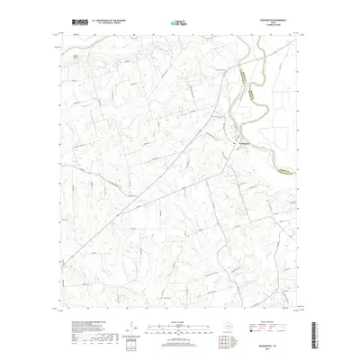
 2016 Washington2016 Print · USGSCovers Washington, including Graball, Brazos County, and other nearby areas
 - 2019 Map of Washington, 2019 Print
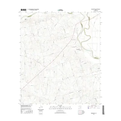
 2019 Washington2019 Print · USGSCovers Washington, including Graball, Brazos County, and other nearby areas
 - 2022 Map of Washington, 2022 Print
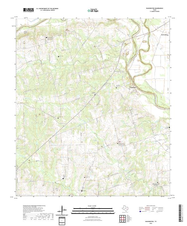 2022 Washington2022 Print · USGSNear the meeting point of the Brazos and Navasota rivers in the early 2020s, this landscape preserves a deep network of rural heritage. Genealogists can trace family and community history through numerous burial sites like Whiting Family Cem and Soul Chapel Cem.
End of results
Showing maps 1-9 of 9
Top cities near Washington
- College Station historical maps
- Brenham historical maps
- Navasota historical maps
- Prairie View historical maps
- Hempstead historical maps
- Millican historical maps
See more
Frequently asked questions
- What are the different types of historical maps available for Washington?
- What is the oldest map of Washington?
- Where can I purchase historical maps of Washington for my home or office?
- Where can I download high-res historical maps of Washington?
- Are there historical topographic maps available for Washington?
- Is there historical aerial imagery available for Washington?
- Where are historical maps of Washington sourced from?