Old Maps of Aguilares, Texas for Hiking & Exploration
Hike through history with 9 historic maps of Aguilares. Explore old trails, ghost towns, and forgotten backroads — perfect for outdoor adventurers and local explorers.
- Rediscover forgotten places: Map out old mining camps, roads, and footpaths that no longer exist on modern maps.
- Layer with modern tools: Combine with LiDAR or satellite views to plan hikes through historical terrain.
- Made for exploration: Popular among hikers, overlanders, and local history lovers.
Use these maps to find adventure and explore the hidden past of Aguilares.
Aguilares, TX maps
(9)- 1940 Map of Aguilares
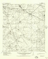 1940 Aguilares1940 Print · USGSSouth Texas ranching and the early oil industry meet in the late 1930s along the Texas Mexican Railroad. Local historians can trace family landholdings from Zapata Ranch to Dodier Ranch, or locate commerce hubs like Pullin Store and the Magnolia Pump Station.
 - 1956 Map of Laredo, 1960 Print
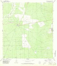
 1956 Laredo1960 Print · USGSSouth Texas in the mid-fifties reveals a landscape shaped by border commerce, military aviation, and a booming oil industry. Trace the historic Texas and Mexican RR line through Hebbronville or locate the sprawling Mirando City Oil Field and Laredo AFB.3 unique versions available
 - 1980 Map of Mirando City
 1980 Mirando City1980 Print · USGSMirando City and Aguilares appear during the South Texas oil and gas era of the early eighties. Genealogists and researchers can trace the Texas Mexican railway, locate the San Pedro Cem, and identify numerous Oil Wells and pipelines.
 - 1985 Map of San Ygnacio
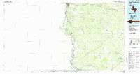 1985 San Ygnacio1985 Print · USGSThe Rio Grande borderlands and South Texas ranch country are captured here in the mid-eighties as the energy industry expanded inland. Researchers can trace historic river settlements like San Ygnacio or the industrial footprints of Mirando City and the Jennings West Oil and Gas Field.3 unique versions available
 - 2010 Map of Mirando City, 2010 Print
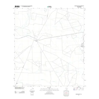
 2010 Mirando City2010 Print · USGSCovers Aguilares, including Mirando City, Ranchitos los Veteranos Colonia, and other nearby areas
 - 2013 Map of Mirando City, 2013 Print
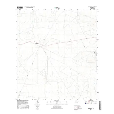
 2013 Mirando City2013 Print · USGSCovers Aguilares, including Mirando City, Ranchitos los Veteranos Colonia, and other nearby areas
 - 2016 Map of Mirando City, 2016 Print
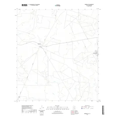
 2016 Mirando City2016 Print · USGSCovers Aguilares, including Mirando City, Ranchitos los Veteranos Colonia, and other nearby areas
 - 2019 Map of Mirando City, 2019 Print
 2019 Mirando City2019 Print · USGSCovers Aguilares, including Mirando City, Ranchitos los Veteranos Colonia, and other nearby areas
 - 2022 Map of Mirando City, 2022 Print
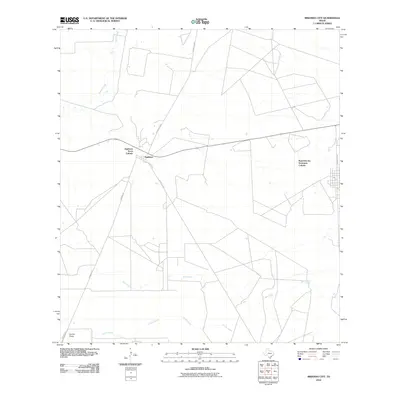
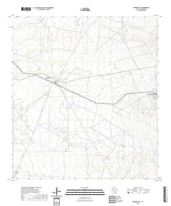 2022 Mirando City2022 Print · USGSDeep in the Webb County ranchlands during the early 2020s, this landscape shows the rural layout of south Texas. Genealogists and local historians can trace the Aguilares Cem and the small communities of Aguilares and Mirando City.
End of results
Showing maps 1-9 of 9
Top cities near Aguilares
Frequently asked questions
- What are the different types of historical maps available for Aguilares?
- What is the oldest map of Aguilares?
- Where can I purchase historical maps of Aguilares for my home or office?
- Where can I download high-res historical maps of Aguilares?
- Are there historical topographic maps available for Aguilares?
- Is there historical aerial imagery available for Aguilares?
- Where are historical maps of Aguilares sourced from?