Old Maps of Western Division, Laredo
Explore 29 old maps of Western Division, spanning from 1933 to today. These high-resolution historic maps reveal how streets, neighborhoods, landmarks, and natural features evolved over time — perfect for genealogy, metal detecting, research, and local history exploration.
What you can do with these maps:
- See how Western Division changed over time: Compare historical maps to modern-day views to trace roads, homesites, rail lines & more.
- View detailed metadata: Each map includes creators, publishers, year, scale, and archive source.
- Overlay maps with satellite & LiDAR: Visualize the past alongside modern tools to explore terrain & human change.
- Trusted historical sources: Maps sourced from the USGS, Library of Congress, and other archives.
- Access maps your way: View online, download high-res files, or order prints for personal or research use.
Start exploring old maps of Western Division to uncover forgotten places, hidden landmarks, and the deep history beneath your feet.
Western Division, Laredo maps
(29)- 1933 Map of Becerra Creek, 1956 Print
 1933 Becerra Creek1956 Print · USGSSouth Texas ranching country along the border comes into focus in the early twentieth century. Genealogists and local historians can trace family landholdings like the Dario Sanchez Pasture or search for roots near the Johnson Settlement and Mann Ranch.
 - 1956 Map of Islitas
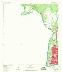
 1956 Islitas1956 Print · USGSThe riverfront north of Laredo was a hub of early twentieth-century industry and ranching along the Rio Grande. Genealogists and historians can trace family-named holdings like Tordillo Settlement and the industrial infrastructure of the Rio Grande and Eagle Pass Railroad.
 - 1956 Map of Laredo East
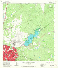
 1956 Laredo East1956 Print · USGSEastern Webb County is documented here as a vast network of cattle ranches and rail sidings during the mid-twentieth century. Family researchers can locate legacy holdings like the Pool Ranch and L.R. Ortiz Ranch, or trace the Texas Mexican Railway past Milo Siding.
 - 1956 Map of Laredo, 1960 Print
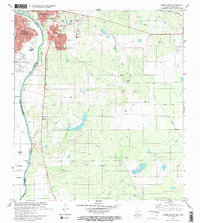
 1956 Laredo1960 Print · USGSSouth Texas in the mid-fifties reveals a landscape shaped by border commerce, military aviation, and a booming oil industry. Trace the historic Texas and Mexican RR line through Hebbronville or locate the sprawling Mirando City Oil Field and Laredo AFB.3 unique versions available
 - 1965 Map of Laredo West, 1967 Print
 1965 Laredo West1967 Print · USGSLaredo thrived as a vital international gateway in the mid-sixties, centered on the river crossing and the Missouri Pacific rail line. Genealogists and local historians can trace the foundations of the community through Fort Mc Intosh, Santa Maria Ch, and the Holding Institute.3 unique versions available
 - 1965 Map of Laredo East, 1967 Print
 1965 Laredo East1967 Print · USGSLaredo was a hub of military and civic growth in the mid-1960s, centered around its strategic airfield and expanding urban grid. Genealogists and historians can trace the footprints of Ursuline Academy, the sprawling City Cem, and the operations at Laredo Air Force Base.2 unique versions available
 - 1979 Map of Laredo South, 1980 Print
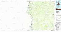
 1979 Laredo South1980 Print · USGSThe international border at the end of the 1970s shows the twin cities of Laredo and Nuevo Laredo flanking the Rio Bravo Grande. Researchers can trace rural settlements like Santa Maria (Angelica) and community landmarks like Masterson Sch.2 unique versions available
 - 1985 Map of Laredo
 1985 Laredo1985 Print · USGSThe Rio Grande border and the expanding city of Laredo are captured in the mid-eighties as a major international transit hub. Trace the development of Del Mar, the routes of the Texas Mexican railroad, and outlying settlements like Islitas and Las Tiendas.3 unique versions available
 - 1985 Map of San Ygnacio
 1985 San Ygnacio1985 Print · USGSThe Rio Grande borderlands and South Texas ranch country are captured here in the mid-eighties as the energy industry expanded inland. Researchers can trace historic river settlements like San Ygnacio or the industrial footprints of Mirando City and the Jennings West Oil and Gas Field.3 unique versions available
 - 2010 Map of Laredo East, 2010 Print
 2010 Laredo East2010 Print · USGSCovers Western Division, including Laredo, Webb County, and other nearby areas
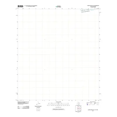
 - 2010 Map of Laredo West, 2010 Print
 2010 Laredo West2010 Print · USGSCovers Western Division, including Laredo, La Cruz, and other nearby areas
 - 2010 Map of Laredo West OE S, 2010 Print
 2010 Laredo West OE S2010 Print · USGSCovers Western Division, including Nuevo Laredo, Laredo, and other nearby areas
 - 2010 Map of Laredo South, 2010 Print
 2010 Laredo South2010 Print · USGSCovers Western Division, including Laredo, La Presa, and other nearby areas
 - 2013 Map of Laredo East, 2013 Print
 2013 Laredo East2013 Print · USGSCovers Western Division, including Laredo, Webb County, and other nearby areas
 - 2013 Map of Laredo South, 2013 Print
 2013 Laredo South2013 Print · USGSCovers Western Division, including Laredo, La Presa, and other nearby areas
 - 2013 Map of Laredo West, 2013 Print
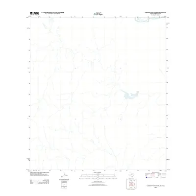
 2013 Laredo West2013 Print · USGSCovers Western Division, including Laredo, La Cruz, and other nearby areas
 - 2013 Map of Laredo West OE S, 2013 Print
 2013 Laredo West OE S2013 Print · USGSCovers Western Division, including Nuevo Laredo, Laredo, and other nearby areas
 - 2016 Map of Laredo South, 2016 Print
 2016 Laredo South2016 Print · USGSCovers Western Division, including Laredo, La Presa, and other nearby areas
 - 2016 Map of Laredo East, 2016 Print
 2016 Laredo East2016 Print · USGSCovers Western Division, including Laredo, Webb County, and other nearby areas
 - 2016 Map of Laredo West, 2016 Print
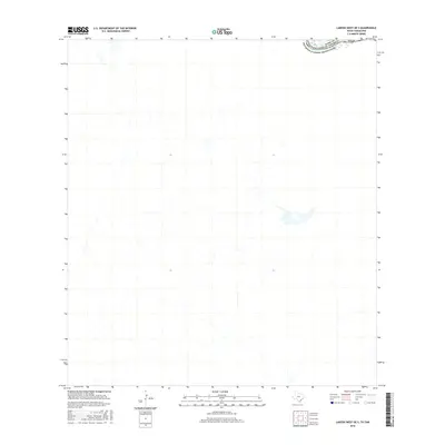
 2016 Laredo West2016 Print · USGSCovers Western Division, including Laredo, La Cruz, and other nearby areas
 - 2016 Map of Laredo West OE S, 2016 Print
 2016 Laredo West OE S2016 Print · USGSCovers Western Division, including Nuevo Laredo, Laredo, and other nearby areas
 - 2019 Map of Laredo South, 2019 Print
 2019 Laredo South2019 Print · USGSCovers Western Division, including Laredo, La Presa, and other nearby areas
 - 2019 Map of Laredo West OE S, 2019 Print
 2019 Laredo West OE S2019 Print · USGSCovers Western Division, including Nuevo Laredo, Laredo, and other nearby areas
 - 2019 Map of Laredo East, 2019 Print
 2019 Laredo East2019 Print · USGSCovers Western Division, including Laredo, Webb County, and other nearby areas
 - 2019 Map of Laredo West, 2019 Print
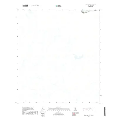
 2019 Laredo West2019 Print · USGSCovers Western Division, including Laredo, La Cruz, and other nearby areas
Showing maps 1-25 of 29
Frequently asked questions
- What are the different types of historical maps available for Western Division?
- What is the oldest map of Western Division?
- Where can I purchase historical maps of Western Division for my home or office?
- Where can I download high-res historical maps of Western Division?
- Are there historical topographic maps available for Western Division?
- Is there historical aerial imagery available for Western Division?
- Where are historical maps of Western Division sourced from?