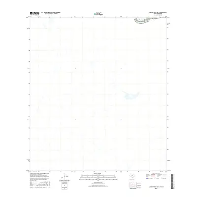
2016 Map of Laredo West OE S
USGS Topo · Published 2016About this map
The Rio Grande serves as the primary geographical and political anchor for this borderland terrain, winding through the arid landscape south of Laredo. This 2016 survey emphasizes the international boundary separating Texas and Estados Unidos Mexicanos, within the jurisdiction of Webb Co. The mapping details a network of ephemeral streams and local drainages that feed toward the river valley, illustrating the complex hydrology of the Rio Grande basin. The proximity of the United States of America to the northern Mexican border is the defining characteristic here, showcasing a landscape of cross-border connectivity and shared environmental features in a region defined by its geopolitical significance.
Find a feature on this map
5 named features on this map. Tap any name to fly to it.
Don’t see what you’re looking for? This feature index may not catch every label — zoom into the map to look around manually.
Map Details
Editions of this 2016 Laredo West OE S Map
This is the sole edition of this map. No revisions or reprints were ever made.
Other maps of this area

1933 · Becerra Creek
USGS Topo · 1:62,500

1956 · Islitas
USGS Topo · 1:62,500

1956 · Laredo East
USGS Topo · 1:62,500

1956 · Laredo
USGS Topo · 1:250,000

1965 · Laredo West
USGS Topo · 1:24,000

1965 · Laredo East
USGS Topo · 1:24,000
1979 · Isla Mesteno
USGS Topo · 1:24,000

1979 · Laredo South
USGS Topo · 1:24,000

1979 · O'Keefe Lake
USGS Topo · 1:24,000
1985 · Laredo
USGS Topo · 1:100,000