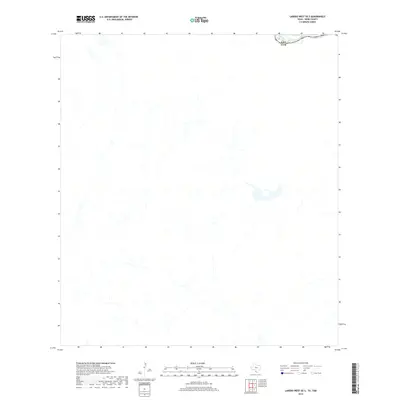
2019 Map of Laredo West OE S
USGS Topo · Published 2019About this map
The Rio Grande serves as the primary geographic and political landmark on this 2019 survey, carving through the arid borderland terrain where the United States meets Mexico. The map illustrates a sparse landscape defined by shifting watercourses and the prominent international boundary of Usa Eum. While the sheet is largely characterized by intermittent water features and a network of unpaved tracks, it provides a precise technical look at the physical topography and the immediate vicinity of the river corridor. This document represents a modern cartographic record of the Webb County border region as managed by the U.S. Geological Survey and the Department of the Interior.
Find a feature on this map
2 named features on this map. Tap any name to fly to it.
Don’t see what you’re looking for? This feature index may not catch every label — zoom into the map to look around manually.
Map Details
Editions of this 2019 Laredo West OE S Map
This is the sole edition of this map. No revisions or reprints were ever made.
Other maps of this area

1933 · Becerra Creek
USGS Topo · 1:62,500

1956 · Islitas
USGS Topo · 1:62,500

1956 · Laredo East
USGS Topo · 1:62,500

1956 · Laredo
USGS Topo · 1:250,000

1965 · Laredo West
USGS Topo · 1:24,000

1965 · Laredo East
USGS Topo · 1:24,000
1979 · Isla Mesteno
USGS Topo · 1:24,000

1979 · Laredo South
USGS Topo · 1:24,000

1979 · O'Keefe Lake
USGS Topo · 1:24,000
1985 · Laredo
USGS Topo · 1:100,000