Old Maps of Danevang, Texas for Academic Research
Study the evolution of Danevang with 9 high-resolution historic maps. Whether you're teaching, researching, or modeling changes in land use, these maps provide essential visual documentation of urban, environmental, and geographic change.
- Analyze long-term change: Track patterns in development, transportation, and natural features.
- Ideal for environmental or urban studies: Support academic projects with primary historical map data.
- Use in the classroom or lab: Educators and researchers rely on these maps to bring historical context to life.
These maps are a powerful tool for teaching, research, and visualizing how Danevang has changed over the decades.
Danevang, TX maps
(9)- 1951 Map of Danevang, 1953 Print
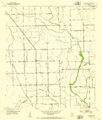 1951 Danevang1953 Print · USGSThe coastal prairie of Wharton and Matagorda Counties comes to life in the early 1950s, showing a landscape defined by ranching and oil. Trace local community roots at Danevang, the Danevang Sch, and the oil wells surrounding Liberty Sch.2 unique versions available
 - 1953 Map of Seguin, 1965 Print
 1953 Seguin1965 Print · USGSSouth Texas in the early fifties shows a thriving river-and-rail economy across the Guadalupe and Colorado basins. Genealogists and historians can trace rail routes like the Southern Pacific through Seguin, locate oil wells, or find the Gary AAF near San Marcos.4 unique versions available
 - 1958 Map of Seguin
 1958 Seguin1958 Print · USGSSouth Texas in the late fifties was a network of river-valley settlements and active oilfields tied together by major rail lines. Genealogists and historians can trace family-named sites across Rabb Prairie, locate the Behring Store, or follow the Southern Pacific through Schulenburg.
 - 1994 Map of El Campo
 1994 El Campo1994 Print · USGSCoastal Texas in the mid-nineties shows a landscape deeply shaped by the energy industry and rail logistics. Researchers can trace the sprawling Sheridan Gas Field or locate historic rail stops in El Campo, Spanish Camp, and Provident City.
 - 2010 Map of Danevang, 2010 Print
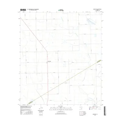
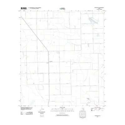 2010 Danevang2010 Print · USGSCovers Danevang, including Matagorda County, Wharton County, and other nearby areas
 - 2013 Map of Danevang, 2013 Print
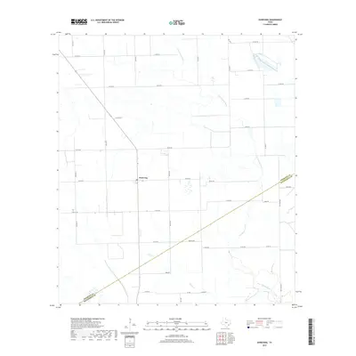
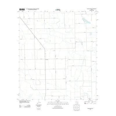 2013 Danevang2013 Print · USGSCovers Danevang, including Matagorda County, Wharton County, and other nearby areas
 - 2016 Map of Danevang, 2016 Print
 2016 Danevang2016 Print · USGSCovers Danevang, including Matagorda County, Wharton County, and other nearby areas
 - 2019 Map of Danevang, 2019 Print
 2019 Danevang2019 Print · USGSCovers Danevang, including Matagorda County, Wharton County, and other nearby areas
 - 2022 Map of Danevang, 2022 Print
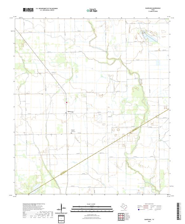 2022 Danevang2022 Print · USGSSettled by Danish immigrants in the late 1800s, this area of the Texas coastal prairie remains a landscape of deep agricultural roots. Genealogists can locate family names and sites at the Danevang Lutheran Church Cem and trace the paths of the Tres Palacios River and Willow Cr.
End of results
Showing maps 1-9 of 9
Top cities near Danevang
Frequently asked questions
- What are the different types of historical maps available for Danevang?
- What is the oldest map of Danevang?
- Where can I purchase historical maps of Danevang for my home or office?
- Where can I download high-res historical maps of Danevang?
- Are there historical topographic maps available for Danevang?
- Is there historical aerial imagery available for Danevang?
- Where are historical maps of Danevang sourced from?