Old Maps of Benonine, Texas for Genealogy
Trace your family roots with 9 historic maps of Benonine. These high-res maps reveal old neighborhoods, homesites, landmarks, and streets — helping you uncover where your ancestors lived and how the area evolved over time.
- Explore historic neighborhoods: Identify where your relatives may have lived in the 1800s or 1900s.
- Compare maps over time: Trace the changes in streets, buildings, and landmarks for multi-generational research.
- Perfect for genealogy & ancestry research: Used by family historians and researchers to map out lineage and migration.
These maps are an incredible resource for exploring your personal connection to Benonine's past.
Benonine, TX maps
(9)- 1954 Map of Amarillo, 1966 Print
 1954 Amarillo1966 Print · USGSThe Texas Panhandle in the mid-1960s shows a landscape of rising industrial power and deep-rooted ranching tradition. Local historians can trace the paths of the Panhandle and Santa Fe railroad or locate sites like the Pantex Ordnance Plant and Mobeetie.2 unique versions available
 - 1958 Map of Amarillo
 1958 Amarillo1958 Print · USGSThe Texas Panhandle in the mid-1950s reveals a landscape of expanding military installations and oil-rich rail towns. Local historians can trace the development of Amarillo Air Force Base or locate smaller settlements like Magic City and New Mobeetie.
 - 1963 Map of Fulller, 1967 Print
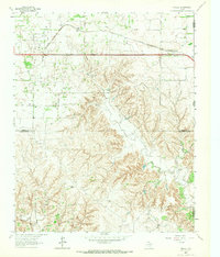 1963 Fulller1967 Print · USGSWheeler County and the Oklahoma borderlands are captured here in the early sixties, showing the rail and road network of the High Plains. Researchers can trace the Chicago Rock Island and Pacific railroad through Fuller or locate early energy infrastructure like a regional Pipeline.
 - 1983 Map of Shamrock
 1983 Shamrock1983 Print · USGSThe Texas Panhandle in the early 1980s reveals a landscape shaped by petroleum and the rail lines of the southern plains. Genealogists and historians can trace the Chicago Rock Island and Pacific corridor through Mc Lean and Shamrock, or locate smaller centers like Magic City and Lefors.
 - 2010 Map of Fuller, 2010 Print
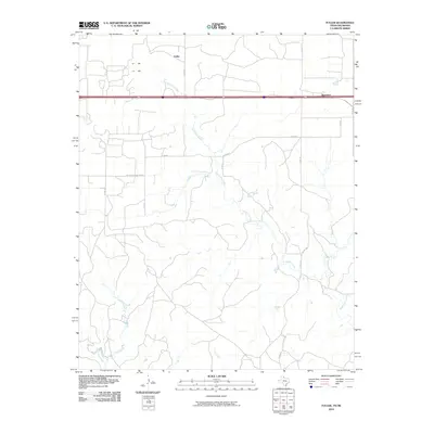 2010 Fuller2010 Print · USGSCovers Benonine, including Texola, Fuller, and other nearby areas
 - 2012 Map of Fuller, 2012 Print
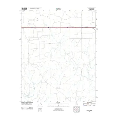 2012 Fuller2012 Print · USGSCovers Benonine, including Texola, Fuller, and other nearby areas
 - 2016 Map of Fuller, 2016 Print
 2016 Fuller2016 Print · USGSCovers Benonine, including Texola, Fuller, and other nearby areas
 - 2019 Map of Fuller, 2019 Print
 2019 Fuller2019 Print · USGSCovers Benonine, including Texola, Fuller, and other nearby areas
 - 2022 Map of Fuller, 2022 Print
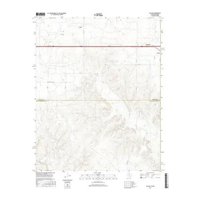
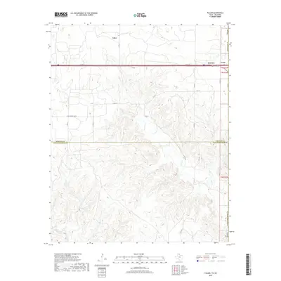
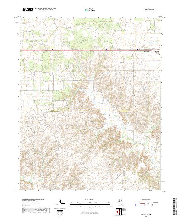 2022 Fuller2022 Print · USGSThe Texas-Oklahoma borderlands in the early 2020s are captured here, focusing on the remote settlements and drainage basins of the Panhandle. Researchers can trace the state line through Texola and locate rural holdings near Fuller, Benonine, and N Elm Cr.
End of results
Showing maps 1-9 of 9
Top cities near Benonine
Frequently asked questions
- What are the different types of historical maps available for Benonine?
- What is the oldest map of Benonine?
- Where can I purchase historical maps of Benonine for my home or office?
- Where can I download high-res historical maps of Benonine?
- Are there historical topographic maps available for Benonine?
- Is there historical aerial imagery available for Benonine?
- Where are historical maps of Benonine sourced from?