Old Maps of Thrift, Texas for Metal Detecting
Plan your next treasure hunt with 9 historic maps of Thrift. Find old homesites, ghost towns, trails, and gathering spots that may be lost to time — perfect for identifying promising metal detecting locations.
- Locate forgotten sites: Uncover places like long-lost settlements, abandoned rail lines, or gathering spots.
- Plan better hunts: Use map overlays combined with LiDAR or satellite views to narrow in on historically rich areas.
- Made for detectorists: Thousands of hobbyists use these maps to discover relics, coins, and hidden history.
Use these historic maps to boost your research and find new opportunities beneath the surface of Thrift.
Thrift, TX maps
(9)- 1955 Map of Lawton, 1958 Print
 1955 Lawton1958 Print · USGSSouthwestern Oklahoma and North Texas are shown here in the mid-fifties, dominated by the Wichita Mountains and the vital Red River watershed. Genealogists and historians can trace the foundations of Lawton alongside rural landmarks like Rainy Mountain Church and Pleasant Hill School.5 unique versions available
 - 1957 Map of Burkburnett, 1958 Print
 1957 Burkburnett1958 Print · USGSThe Red River valley in the late fifties was a bustling corridor of oil production and rail transport. Genealogists and historians can trace the foundations of Burkburnett and Grandfield, finding old sites like Clara Ch and the Red River Oil Field.
 - 1985 Map of Devol
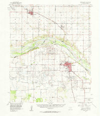
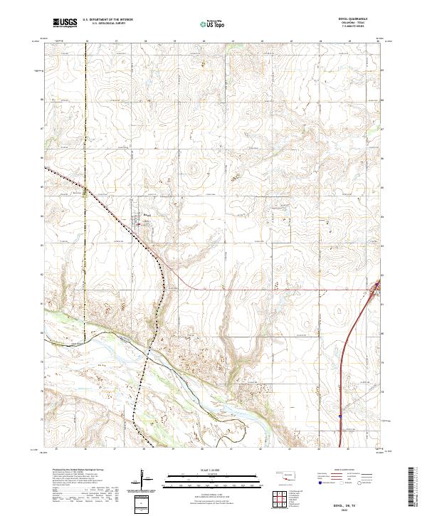
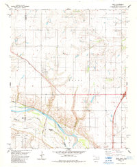 1985 Devol1985 Print · USGSThe Oklahoma-Texas borderlands come into focus in the mid-1980s, centered on the railroad town of Devol. Researchers can trace the path of the Missouri Kansas Texas line or locate rural Oil Wells and the local Cem.
 - 1985 Map of Burkburnett, 1986 Print
 1985 Burkburnett1986 Print · USGSThe Red River valley and North Texas oil fields are captured here in the mid-eighties, showing the vital connection between military hubs and rail towns. Researchers can trace the path of the Missouri Kansas Texas railroad through Burkburnett or locate Waurika Lake and Sheppard Air Force Base.2 unique versions available
 - 2010 Map of Devol, 2010 Print
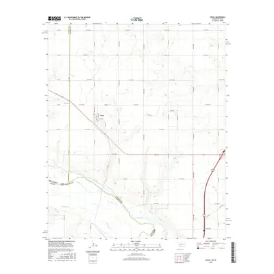
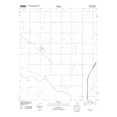 2010 Devol2010 Print · USGSCovers Thrift, including Devol, Wichita County, and other nearby areas
 - 2012 Map of Devol, 2012 Print
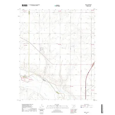
 2012 Devol2012 Print · USGSCovers Thrift, including Devol, Wichita County, and other nearby areas
 - 2016 Map of Devol, 2016 Print
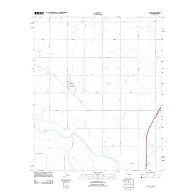
 2016 Devol2016 Print · USGSCovers Thrift, including Devol, Wichita County, and other nearby areas
 - 2018 Map of Devol, 2018 Print
 2018 Devol2018 Print · USGSCovers Thrift, including Devol, Wichita County, and other nearby areas
 - 2022 Map of Devol, 2022 Print
 2022 Devol2022 Print · USGSSouthern Oklahoma at the Texas border shows a landscape organized by section-line roads and the winding Red River. Genealogists and local historians can trace the townsite of Devol, locating the PO and Devol Cem near the river's north bank.
End of results
Showing maps 1-9 of 9
Top cities near Thrift
- Wichita Falls historical maps
- Burkburnett historical maps
- Iowa Park historical maps
- Walters historical maps
- Grandfield historical maps
- Randlett historical maps
See more
Frequently asked questions
- What are the different types of historical maps available for Thrift?
- What is the oldest map of Thrift?
- Where can I purchase historical maps of Thrift for my home or office?
- Where can I download high-res historical maps of Thrift?
- Are there historical topographic maps available for Thrift?
- Is there historical aerial imagery available for Thrift?
- Where are historical maps of Thrift sourced from?