Old Maps of Walters, Oklahoma
Explore 27 old maps of Walters, spanning from 1955 to today. These high-resolution historic maps reveal how streets, neighborhoods, landmarks, and natural features evolved over time — perfect for genealogy, metal detecting, research, and local history exploration.
What you can do with these maps:
- See how Walters changed over time: Compare historical maps to modern-day views to trace roads, homesites, rail lines & more.
- View detailed metadata: Each map includes creators, publishers, year, scale, and archive source.
- Overlay maps with satellite & LiDAR: Visualize the past alongside modern tools to explore terrain & human change.
- Trusted historical sources: Maps sourced from the USGS, Library of Congress, and other archives.
- Access maps your way: View online, download high-res files, or order prints for personal or research use.
Start exploring old maps of Walters to uncover forgotten places, hidden landmarks, and the deep history beneath your feet.
Walters, OK maps
(27)- 1955 Map of Lawton, 1958 Print
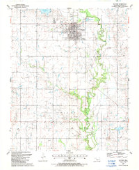
 1955 Lawton1958 Print · USGSSouthwestern Oklahoma and North Texas are shown here in the mid-fifties, dominated by the Wichita Mountains and the vital Red River watershed. Genealogists and historians can trace the foundations of Lawton alongside rural landmarks like Rainy Mountain Church and Pleasant Hill School.5 unique versions available
 - 1962 Map of Walters, 1964 Print
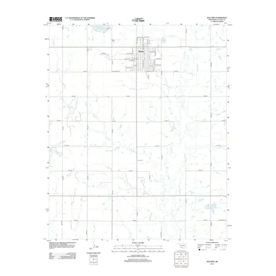
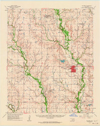 1962 Walters1964 Print · USGSCotton County during the early 1960s was a landscape defined by the oil industry and rural railroad life. Genealogy researchers can trace family landmarks like the New Salem Cem, Cookietown, and churches such as Brown Ch and Independent Ch.
 - 1985 Map of Burkburnett, 1986 Print
 1985 Burkburnett1986 Print · USGSThe Red River valley and North Texas oil fields are captured here in the mid-eighties, showing the vital connection between military hubs and rail towns. Researchers can trace the path of the Missouri Kansas Texas railroad through Burkburnett or locate Waurika Lake and Sheppard Air Force Base.2 unique versions available
 - 1987 Map of Walters NE
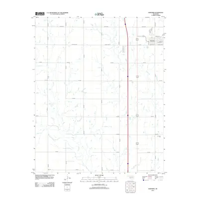
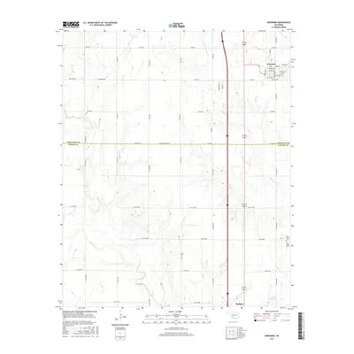
 1987 Walters NE1987 Print · USGSCotton and Comanche Counties in the late 1980s reveal a landscape defined by petroleum extraction and creek-side settlements. Genealogists and historians can locate Allendale Cem, New Salem Ch, and the streets of Geronimo amidst a network of Oil Wells.
 - 1987 Map of Geronimo
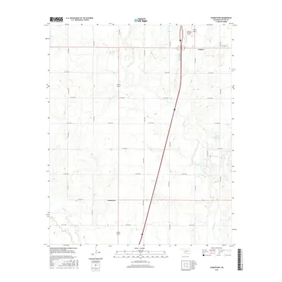
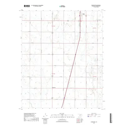
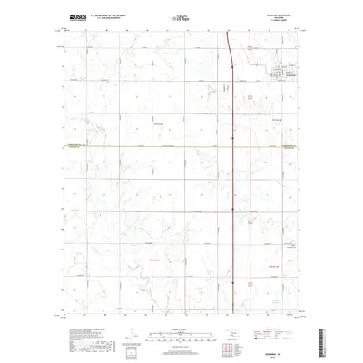
 1987 Geronimo1987 Print · USGSGeronimo and the surrounding Comanche County townships are captured in the late 1980s as the regional rail and turnpike networks integrated with the rural landscape. Researchers can trace the path of the Oklahoma Kansas and Texas railroad and locate the Elm Grove Cem or the small settlement of Crosby.
 - 1987 Map of Cookietown, 1988 Print
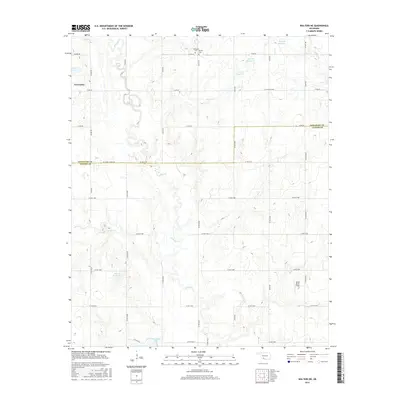
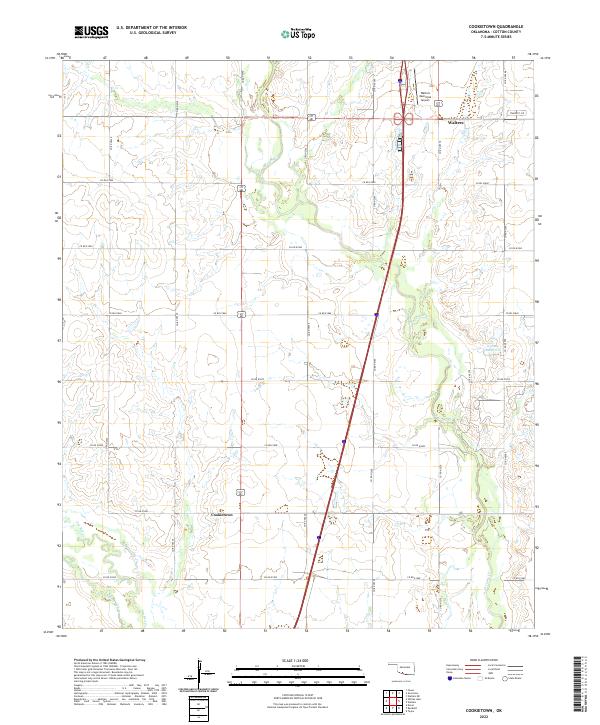
 1987 Cookietown1988 Print · USGSCotton County in the late eighties reveals a landscape of prairie oil fields and rural spiritual centers. Genealogists and historians can trace local landmarks like Cookietown, Emerson Indian Ch, and the Essaquanahdale West Oil Field.
 - 1987 Map of Walters, 1988 Print
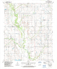
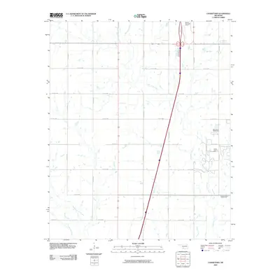
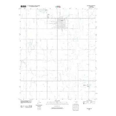
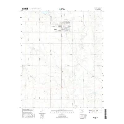
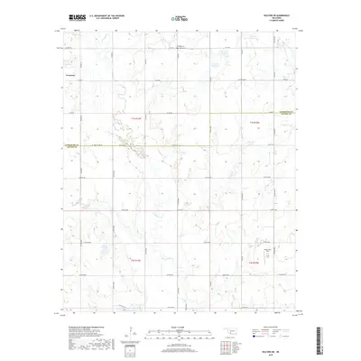
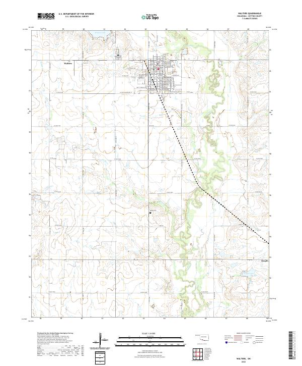
 1987 Walters1988 Print · USGSCotton County in the late eighties reveals a landscape defined by the petroleum industry and the winding waters of East Cache Creek. Genealogists and local historians can trace the development of Walters and Temple, locating landmarks like Brown Ch and Dave Boyer Lake.
 - 2009 Map of Cookietown, 2009 Print
 2009 Cookietown2009 Print · USGSCovers Walters, including Cookietown, Cotton County, and other nearby areas
 - 2009 Map of Walters NE, 2009 Print
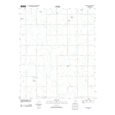 2009 Walters NE2009 Print · USGSCovers Walters, including Geronimo, Comanche County, and other nearby areas
 - 2009 Map of Geronimo, 2009 Print
 2009 Geronimo2009 Print · USGSCovers Walters, including Geronimo, Comanche County, and other nearby areas
 - 2010 Map of Walters, 2010 Print
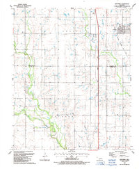
 2010 Walters2010 Print · USGSCovers Walters, including Temple, Cotton County, and other nearby areas
 - 2012 Map of Cookietown, 2012 Print
 2012 Cookietown2012 Print · USGSCovers Walters, including Cookietown, Cotton County, and other nearby areas
 - 2012 Map of Walters, 2012 Print
 2012 Walters2012 Print · USGSCovers Walters, including Temple, Cotton County, and other nearby areas
 - 2012 Map of Walters NE, 2012 Print
 2012 Walters NE2012 Print · USGSCovers Walters, including Geronimo, Comanche County, and other nearby areas
 - 2012 Map of Geronimo, 2012 Print
 2012 Geronimo2012 Print · USGSCovers Walters, including Geronimo, Comanche County, and other nearby areas
 - 2016 Map of Cookietown, 2016 Print
 2016 Cookietown2016 Print · USGSCovers Walters, including Cookietown, Cotton County, and other nearby areas
 - 2016 Map of Walters, 2016 Print
 2016 Walters2016 Print · USGSCovers Walters, including Temple, Cotton County, and other nearby areas
 - 2016 Map of Walters NE, 2016 Print
 2016 Walters NE2016 Print · USGSCovers Walters, including Geronimo, Comanche County, and other nearby areas
 - 2016 Map of Geronimo, 2016 Print
 2016 Geronimo2016 Print · USGSCovers Walters, including Geronimo, Comanche County, and other nearby areas
 - 2018 Map of Cookietown, 2018 Print
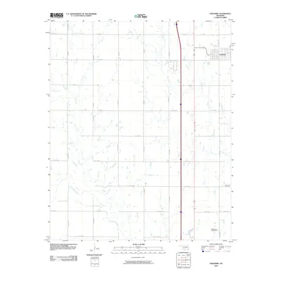
 2018 Cookietown2018 Print · USGSCovers Walters, including Cookietown, Cotton County, and other nearby areas
 - 2018 Map of Walters NE, 2018 Print
 2018 Walters NE2018 Print · USGSCovers Walters, including Geronimo, Comanche County, and other nearby areas
 - 2018 Map of Walters, 2018 Print
 2018 Walters2018 Print · USGSCovers Walters, including Temple, Cotton County, and other nearby areas
 - 2018 Map of Geronimo, 2018 Print
 2018 Geronimo2018 Print · USGSCovers Walters, including Geronimo, Comanche County, and other nearby areas
 - 2022 Map of Walters, 2022 Print
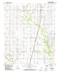
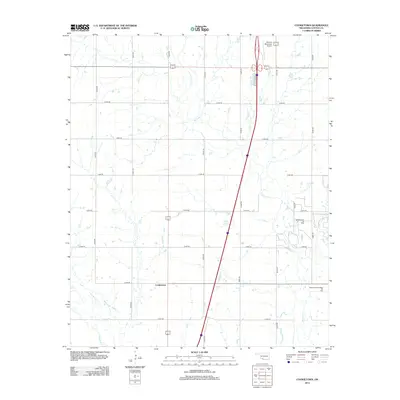
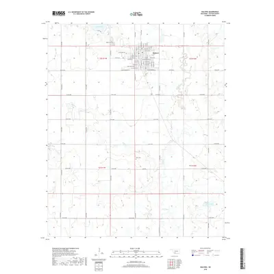
 2022 Walters2022 Print · USGSCotton County comes into focus in this recent survey of the Oklahoma plains. Genealogists and local historians can trace family locations near Walters Cem and Brown Cem, or locate the Cotton County Courthouse in the heart of Walters.
 - 2022 Map of Cookietown, 2022 Print
 2022 Cookietown2022 Print · USGSCotton County prairie life in the early 2020s is defined by its rural intersections and creek drainages. Researchers can trace the section-line roads connecting Cookietown and Walters while locating local landmarks like the Walters Municipal Airport and W Cache Cr.
Showing maps 1-25 of 27
Top cities near Walters
- Lawton historical maps
- Geronimo historical maps
- Temple historical maps
- Central High historical maps
- Empire City historical maps
- Randlett historical maps
See more
Frequently asked questions
- What are the different types of historical maps available for Walters?
- What is the oldest map of Walters?
- Where can I purchase historical maps of Walters for my home or office?
- Where can I download high-res historical maps of Walters?
- Are there historical topographic maps available for Walters?
- Is there historical aerial imagery available for Walters?
- Where are historical maps of Walters sourced from?