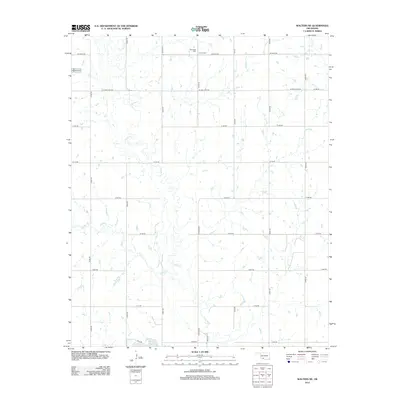
2012 Map of Walters NE
USGS Topo · Published 2012About this map
E Cache Cr meanders south through the rural landscape of Cotton County, defining the drainage patterns of this agricultural region. The terrain is structured by a precise grid of section roads, including SE Burk Rd and N2600 Rd, which connect remote homesteads and farms to the surrounding Oklahoma prairie. Historically significant markers like Allendale Cem and Devine Cem are situated in the northern reaches of the sheet, providing vital anchors for genealogical research in this part of the state. In the southwest, the waters of Walters Lake and the confluence of Snake Cr with the larger creek system illustrate the local water management and natural hydrology of the early 21st century.
Find a feature on this map
29 named features on this map. Tap any name to fly to it.
Don’t see what you’re looking for? This feature index may not catch every label — zoom into the map to look around manually.
Map Details
Editions of this 2012 Walters NE Map
This is the sole edition of this map. No revisions or reprints were ever made.
Other maps of this area

1946 · Lawton
USGS Topo · 1:62,500

1949 · Nellie
USGS Topo · 1:62,500

1955 · Lawton
USGS Topo · 1:250,000

1956 · Ninemile Creek
USGS Topo · 1:24,000

1956 · Lawton
USGS Topo · 1:24,000

1956 · Letitia
USGS Topo · 1:24,000

1956 · Lawton
USGS Topo · 1:62,500

1956 · Nellie
USGS Topo · 1:62,500

1962 · Walters
USGS Topo · 1:62,500

1962 · Temple
USGS Topo · 1:62,500