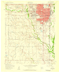
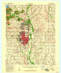
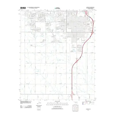
1956 Map of Lawton
USGS Topo · Published 1959About this map
Lawton functions as a bustling regional hub in the mid-1950s, characterized by a dense grid of schools, hospitals, and civic institutions. The urban core is anchored by the County Courthouse, City hall, and the Carnegie Library, while the surrounding neighborhoods are served by a remarkable concentration of educational facilities like St Marys School and Cameron State Agriculture College. The influence of the adjacent military presence is felt at the Fort Sill Indian School Reservation in the northeast corner.
Find a feature on this map
68 named features on this map. Tap any name to fly to it.
Don’t see what you’re looking for? This feature index may not catch every label — zoom into the map to look around manually.
Map Details
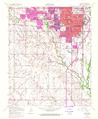
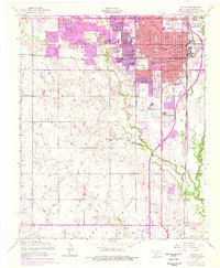
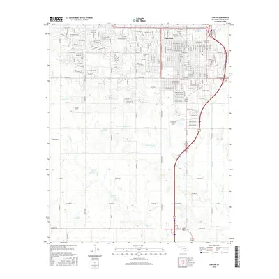
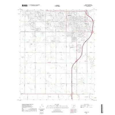
Editions of this 1956 Lawton Map
3 editions found
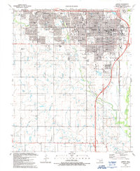
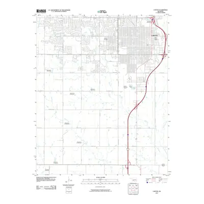
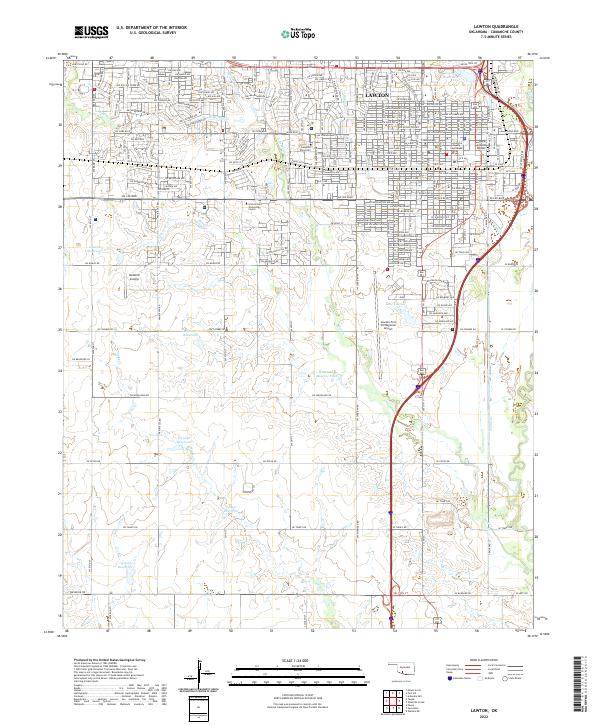
Historical Maps of Lawton Through Time
11 maps found
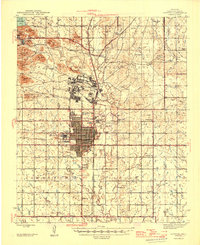
1946 Lawton
Comanche County, OK
1955 Lawton
Comanche County, OK
1956 Lawton
Comanche County, OK
1956 Lawton
Comanche County, OK

1981 Lawton
Comanche County, OK
1991 Lawton
Comanche County, OK
2010 Lawton
Comanche County, OK
2012 Lawton
Comanche County, OK
2016 Lawton
Comanche County, OK
2018 Lawton
Comanche County, OK
2022 Lawton
Comanche County, OK