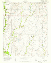
1956 Map of Ninemile Creek
USGS Topo · Published 1959About this map
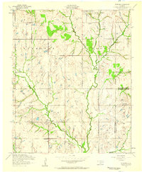
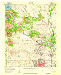
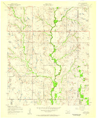
Fort Sill Indian School Reservation occupies the northwest corner of this mid-century survey, a significant institutional footprint in a landscape defined by water and oil. The map details the confluence where Ninemile Creek feeds into East Cache Creek, documenting a rural area marked by the emergence of industrial infrastructure. Scattered throughout the townships of Lincoln and Lawton are numerous Oil Wells, particularly concentrated in the northern sections, signaling the economic drivers of the era. Education and communication are well-represented by localized landmarks such as Mineral Wells School, Flower Mound School, and a Television Relay Tower. This 1956 record illustrates the transition of Comanche County from a strictly agrarian region to one integrated with utility and energy development, anchored by its proximity to military and educational lands.
Find a feature on this map
18 named features on this map. Tap any name to fly to it.
Don’t see what you’re looking for? This feature index may not catch every label — zoom into the map to look around manually.
Map Details
Editions of this 1956 Ninemile Creek Map
3 editions found
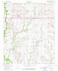
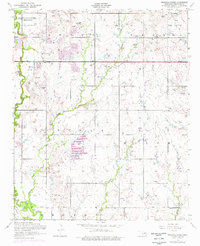
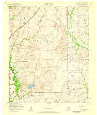
Other maps of this area
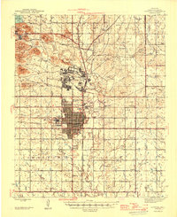
1946 · Lawton
USGS Topo · 1:62,500

1949 · Arbuckle Hill
USGS Topo · 1:24,000

1949 · Fort Sill
USGS Topo · 1:24,000

1949 · Nellie
USGS Topo · 1:62,500

1955 · Lawton
USGS Topo · 1:250,000
1956 · Sterling
USGS Topo · 1:24,000
1956 · Arbuckle Hill
USGS Topo · 1:24,000
1956 · Fort Sill
USGS Topo · 1:24,000
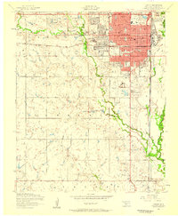
1956 · Lawton
USGS Topo · 1:24,000
1956 · Letitia
USGS Topo · 1:24,000