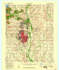
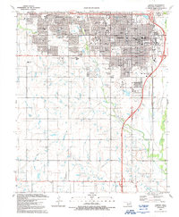
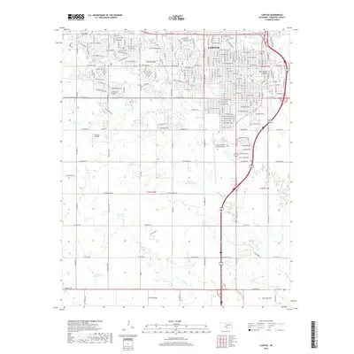
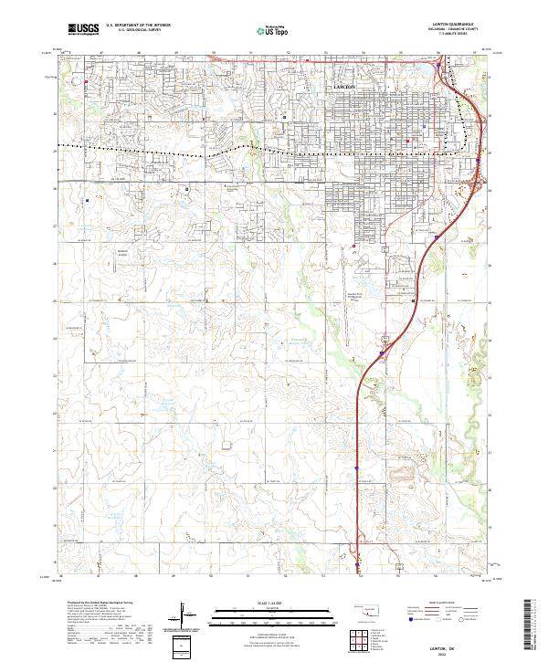
1956 Map of Lawton
USGS Topo · Published 1960About this map
Lawton serves as the focal point of this mid-century landscape, positioned south of the extensive Fort Sill Military Reservation. The town's grid expands toward the Fort Sill Indian School Reservation and Artillery Village, reflecting a period of significant military and civic integration. To the northwest, the terrain rises sharply into a cluster of peaks including Mount Scott and Mount Sheridan, overlooking the recreational and community hub at Medicine Park near Lake Lawtonka.
Find a feature on this map
73 named features on this map. Tap any name to fly to it.
Don’t see what you’re looking for? This feature index may not catch every label — zoom into the map to look around manually.
Map Details
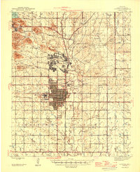
Editions of this 1956 Lawton Map
This is the sole edition of this map. No revisions or reprints were ever made.
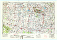
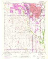
Historical Maps of Lawton Through Time
11 maps found
1946 Lawton
Comanche County, OK
1955 Lawton
Comanche County, OK
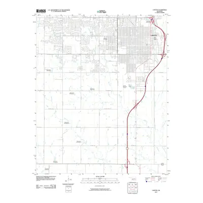
1956 Lawton
Comanche County, OK
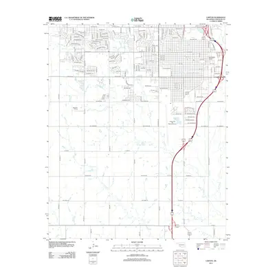
1956 Lawton
Comanche County, OK

1981 Lawton
Comanche County, OK
1991 Lawton
Comanche County, OK
2010 Lawton
Comanche County, OK
2012 Lawton
Comanche County, OK
2016 Lawton
Comanche County, OK
2018 Lawton
Comanche County, OK
2022 Lawton
Comanche County, OK
Featured Locations
- Medicine Park, OK
- 10 Mile Crossing, OK
- Lawton, OK
- Artillery Village Greenspace, Lawton
- white Wolf Manor, Lawton