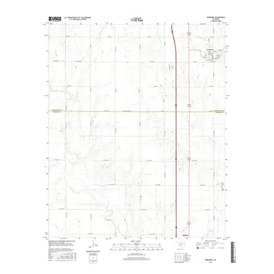
2016 Map of Geronimo
USGS Topo · Published 2016About this map
Geronimo and the northern reaches of Walters anchor this 2016 survey along the border of Comanche and Cotton Counties. The landscape is defined by the winding paths of W Cache Cr and Snake Cr, which drain an area dominated by an orderly grid of section-line roads like e1770 RD and n2540 RD. In the town of Geronimo, a dense street network including Michigan St and Nebraska Ave reflects modern residential expansion, while local history is preserved at the Elm Grove Cem and New Salem Cem situated further south. This map provides a detailed look at the rural-urban interface, where agricultural land meets growing communities and managed water resources such as the 031660 Reservoir.
Find a feature on this map
47 named features on this map. Tap any name to fly to it.
Don’t see what you’re looking for? This feature index may not catch every label — zoom into the map to look around manually.
Map Details
Editions of this 2016 Geronimo Map
This is the sole edition of this map. No revisions or reprints were ever made.
Other maps of this area

1937 · Cache
USGS Topo · 1:48,000

1942 · Cache
USGS Topo · 1:62,500

1946 · Lawton
USGS Topo · 1:62,500

1955 · Lawton
USGS Topo · 1:250,000

1956 · Ninemile Creek
USGS Topo · 1:24,000
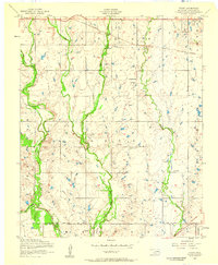
1956 · Taupa
USGS Topo · 1:24,000

1956 · Lawton
USGS Topo · 1:24,000
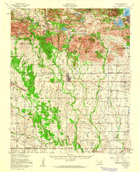
1956 · Cache
USGS Topo · 1:62,500

1956 · Lawton
USGS Topo · 1:62,500

1962 · Chattanooga
USGS Topo · 1:62,500