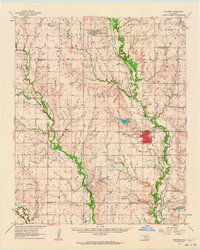
1962 Map of Walters
USGS Topo · Published 1964About this map
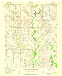
The Chicago Rock Island and Pacific railroad forms a vital north-south artery through this Cotton County landscape, connecting the town of Geronimo in the north to the county seat at Walters. The area is characterized by the meandering courses of West Cache Creek and East Cache Creek, which define the lowlands between the upland regions of Crosby, Hulen, and Jackson. The presence of an extensive Oil Field south of Walters, complete with numerous oil wells and a gaging station, points to the industrial energy extraction that shaped the local economy in the early 1960s.
Find a feature on this map
39 named features on this map. Tap any name to fly to it.
Don’t see what you’re looking for? This feature index may not catch every label — zoom into the map to look around manually.
Map Details
Editions of this 1962 Walters Map
This is the sole edition of this map. No revisions or reprints were ever made.
Other maps of this area
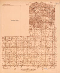
1937 · Cache
USGS Topo · 1:48,000
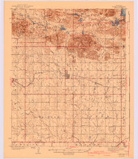
1942 · Cache
USGS Topo · 1:62,500
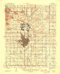
1946 · Lawton
USGS Topo · 1:62,500
1949 · Nellie
USGS Topo · 1:62,500

1955 · Lawton
USGS Topo · 1:250,000
1956 · Ninemile Creek
USGS Topo · 1:24,000
1956 · Taupa
USGS Topo · 1:24,000
1956 · Lawton
USGS Topo · 1:24,000
1956 · Letitia
USGS Topo · 1:24,000
1956 · Cache
USGS Topo · 1:62,500