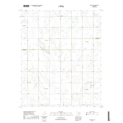
2018 Map of Walters NE
USGS Topo · Published 2018About this map
Geronimo sits in the northwest corner of this landscape where the boundaries of Comanche and Cotton counties meet. The terrain is defined by the winding course of E Cache Cr and its tributaries, including Snake Cr and Gooden Cr, which feed into several local water bodies such as Walters Lake and the 031029 Reservoir. The agricultural character of the region is evident in the grid of rural roads and the presence of the Jones Farm Field. For those researching local family history, the map identifies the Allendale Cem and Devine Cem situated near the northern edge. The road network, including named routes like E1750 New Hope and SE Logue Chapel Rd, provides a clear view of the rural infrastructure connecting these scattered settlements and homesteads during the late twenty-teens.
Find a feature on this map
43 named features on this map. Tap any name to fly to it.
Don’t see what you’re looking for? This feature index may not catch every label — zoom into the map to look around manually.
Map Details
Editions of this 2018 Walters NE Map
This is the sole edition of this map. No revisions or reprints were ever made.
Other maps of this area

1946 · Lawton
USGS Topo · 1:62,500

1949 · Nellie
USGS Topo · 1:62,500

1955 · Lawton
USGS Topo · 1:250,000

1956 · Ninemile Creek
USGS Topo · 1:24,000

1956 · Lawton
USGS Topo · 1:24,000

1956 · Letitia
USGS Topo · 1:24,000

1956 · Lawton
USGS Topo · 1:62,500

1956 · Nellie
USGS Topo · 1:62,500

1962 · Walters
USGS Topo · 1:62,500

1962 · Temple
USGS Topo · 1:62,500