Old Maps of Grayback, Texas for Academic Research
Study the evolution of Grayback with 9 high-resolution historic maps. Whether you're teaching, researching, or modeling changes in land use, these maps provide essential visual documentation of urban, environmental, and geographic change.
- Analyze long-term change: Track patterns in development, transportation, and natural features.
- Ideal for environmental or urban studies: Support academic projects with primary historical map data.
- Use in the classroom or lab: Educators and researchers rely on these maps to bring historical context to life.
These maps are a powerful tool for teaching, research, and visualizing how Grayback has changed over the decades.
Grayback, TX maps
(9)- 1954 Map of Wichita Falls, 1966 Print
 1954 Wichita Falls1966 Print · USGSNorth Texas in the mid-fifties is captured here as a landscape of expanding oil fields and vital rail corridors. Genealogists and historians can trace family roots through rural landmarks like Bacon Chapel and the rail-side growth of Seymour and Archer City.3 unique versions available
 - 1958 Map of Wichita Falls
 1958 Wichita Falls1958 Print · USGSNorth Texas during the late fifties reveals a landscape defined by the booming petroleum industry and established rail hubs. Researchers can trace the development of Wichita Falls and discover rural landmarks like Barton's Chapel or the Hull-Silk Oil Field.
 - 1966 Map of Grayback, 1968 Print
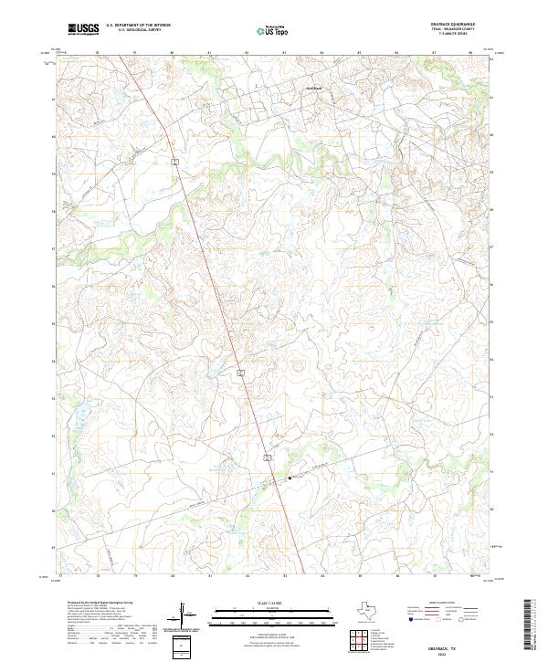
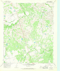 1966 Grayback1968 Print · USGSIn the mid-1960s, this portion of Wilbarger County was a busy intersection of ranching and oil production. Researchers can trace the OIL FIELD infrastructure and find local landmarks like Grayback, Zacaweista Ranch, and the Mack Cem.
 - 1985 Map of Lake Kemp
 1985 Lake Kemp1985 Print · USGSThe North Texas plains come into sharp focus in the mid-eighties as a region defined by its vast reservoirs and deep-rooted agricultural hubs. Genealogists and local historians can trace the rural landscape surrounding Seymour, the rail lines of the Burlington Northern, and landmarks like The Narrows.2 unique versions available
 - 2010 Map of Grayback, 2010 Print
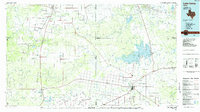
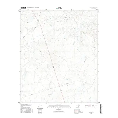
 2010 Grayback2010 Print · USGSCovers Grayback, including Midway Crossing, Hoot and Holler Crossing, and other nearby areas
 - 2012 Map of Grayback, 2012 Print
 2012 Grayback2012 Print · USGSCovers Grayback, including Midway Crossing, Hoot and Holler Crossing, and other nearby areas
 - 2016 Map of Grayback, 2016 Print
 2016 Grayback2016 Print · USGSCovers Grayback, including Midway Crossing, Hoot and Holler Crossing, and other nearby areas
 - 2019 Map of Grayback, 2019 Print
 2019 Grayback2019 Print · USGSCovers Grayback, including Midway Crossing, Hoot and Holler Crossing, and other nearby areas
 - 2022 Map of Grayback, 2022 Print
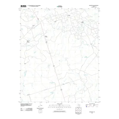
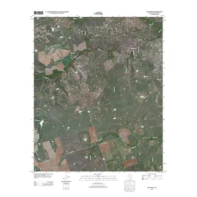
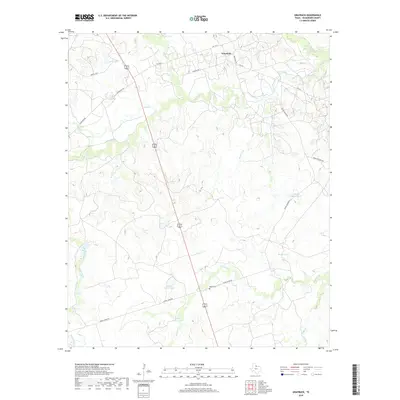
 2022 Grayback2022 Print · USGSGrayback and the surrounding Wilbarger County ranch lands are detailed here in the early twenty-first century. Family history researchers can locate Mack Cem and trace the drainage of Beaver Cr and Grapevine Creek across the plains.
End of results
Showing maps 1-9 of 9
Top cities near Grayback
Frequently asked questions
- What are the different types of historical maps available for Grayback?
- What is the oldest map of Grayback?
- Where can I purchase historical maps of Grayback for my home or office?
- Where can I download high-res historical maps of Grayback?
- Are there historical topographic maps available for Grayback?
- Is there historical aerial imagery available for Grayback?
- Where are historical maps of Grayback sourced from?