
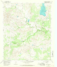
1966 Map of Grayback
USGS Topo · Published 1968About this map
Grayback and Alamosa Camp anchor the northern reaches of this mid-1960s survey, where the topography of Wilbarger County is defined by the winding course of Beaver Creek and its many tributaries. The landscape is heavily marked by the regional petroleum economy, with an extensive Oil Field and numerous Oil Wells scattered across the northern sections. Evidence of rural life and ranching operations appears at the Zacaweista Ranch and the small settlement of Rosa, while the Mack Cem provides a specific point of interest for genealogical research.
Find a feature on this map
28 named features on this map. Tap any name to fly to it.
Don’t see what you’re looking for? This feature index may not catch every label — zoom into the map to look around manually.
Map Details
Editions of this 1966 Grayback Map
This is the sole edition of this map. No revisions or reprints were ever made.
Other maps of this area

1954 · Wichita Falls
USGS Topo · 1:250,000

1955 · Lawton
USGS Topo · 1:250,000

1958 · Wichita Falls
USGS Topo · 1:250,000

1958 · Davidson
USGS Topo · 1:62,500

1958 · Vernon
USGS Topo · 1:62,500

1966 · Franklin Bend
USGS Topo · 1:24,000

1966 · Santa Rosa Lake
USGS Topo · 1:24,000
1966 · Lake Electra
USGS Topo · 1:24,000

1966 · Northeast Lake Kemp
USGS Topo · 1:24,000

1966 · Northwest Lake Kemp
USGS Topo · 1:24,000