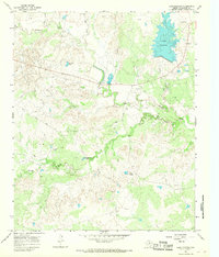
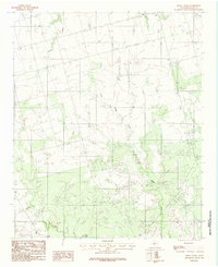
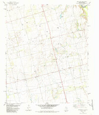
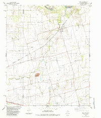
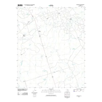
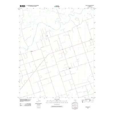
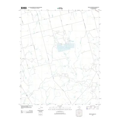
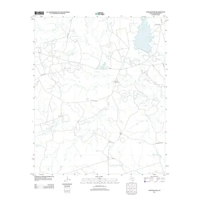
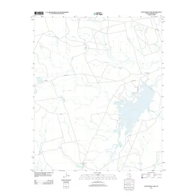
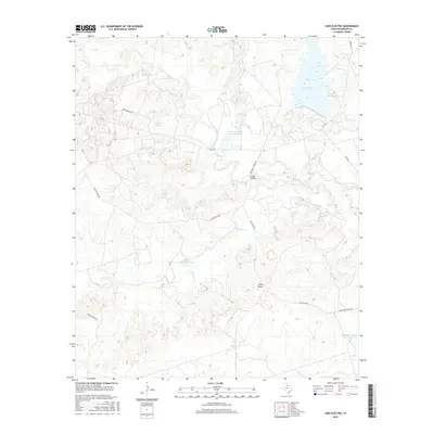
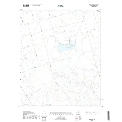
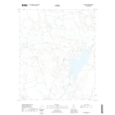
1966 Map of Lake Electra
USGS Topo · Published 1968About this map
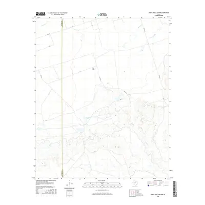
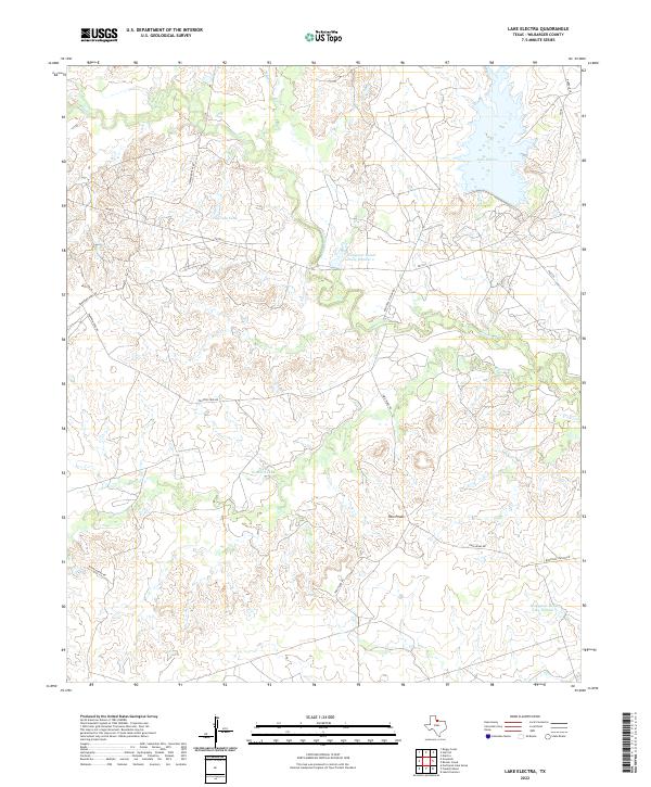
Lake Electra dominates the northeastern corner of this Wilbarger County landscape, a vital water source in a region defined by its oil extraction and ranching infrastructure. Extensive Oil Field operations are mapped across the rolling plains, characterized by numerous Oil Wells and a network of unimproved roads connecting various drill sites. The drainage of Beaver Creek and its tributaries, such as Minnas Creek and Rock Creek, carve distinct paths through the terrain, bridged by landmarks like Craig Bridge.
Find a feature on this map
20 named features on this map. Tap any name to fly to it.
Don’t see what you’re looking for? This feature index may not catch every label — zoom into the map to look around manually.
Map Details
Editions of this 1966 Lake Electra Map
This is the sole edition of this map. No revisions or reprints were ever made.
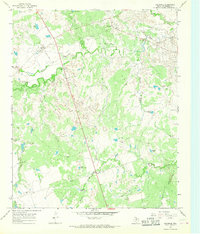
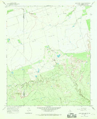
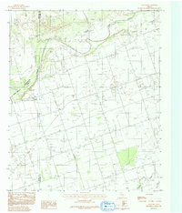
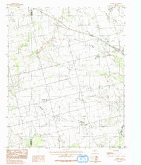
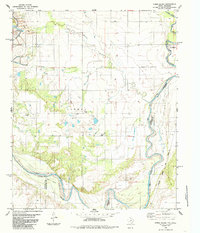
Historical Maps of Wilbarger County Through Time
60 maps found
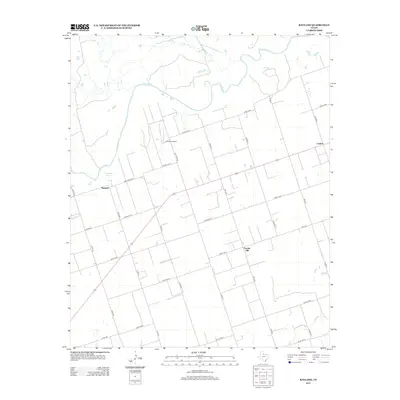
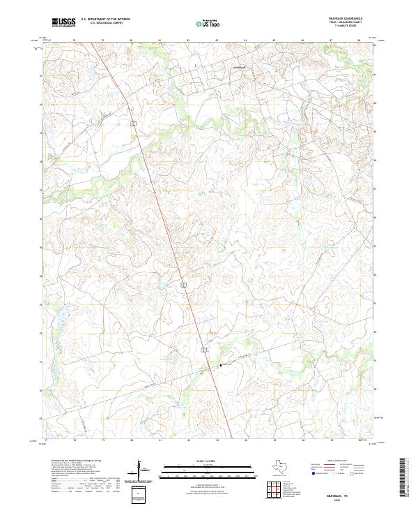
1966 Grayback
Wilbarger County, TX
1966 Lake Electra
Wilbarger County, TX
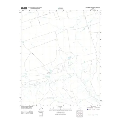
1966 Santa Rosa Lake NW
Wilbarger County, TX
1966 Santa Rosa Lake
Wilbarger County, TX
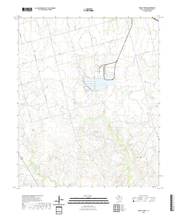
1983 Boggy Creek
Wilbarger County, TX
1983 Rayland
Wilbarger County, TX
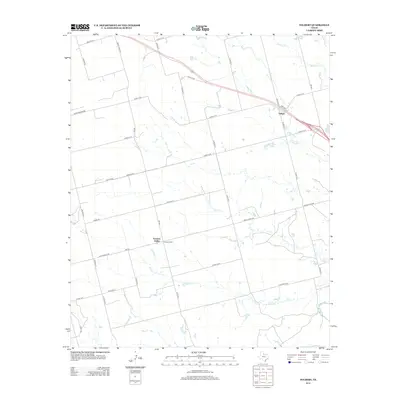
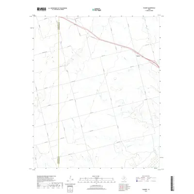
1983 Tolbert
Wilbarger County, TX
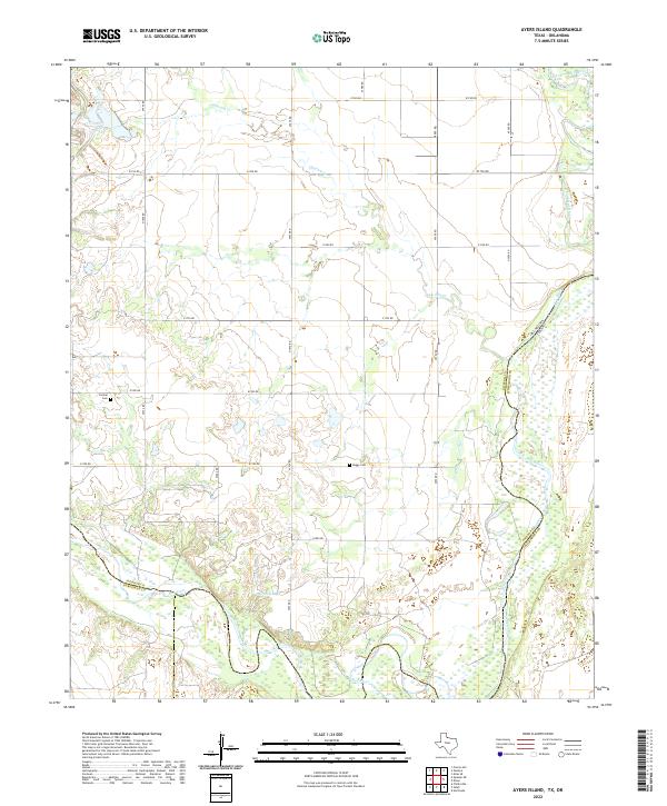
1985 Ayers Island
Wilbarger County, TX
1985 Northside
Wilbarger County, TX
1985 Odell
Wilbarger County, TX
2010 Ayers Island
Wilbarger County, TX
2010 Boggy Creek
Wilbarger County, TX
2010 Grayback
Wilbarger County, TX
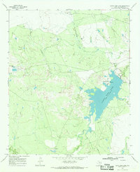
2010 Lake Electra
Wilbarger County, TX
2010 Northside
Wilbarger County, TX
2010 Odell
Wilbarger County, TX
2010 Rayland
Wilbarger County, TX

2010 Santa Rosa Lake NW
Wilbarger County, TX
2010 Tolbert
Wilbarger County, TX
2011 Santa Rosa Lake
Wilbarger County, TX
2012 Ayers Island
Wilbarger County, TX
2012 Boggy Creek
Wilbarger County, TX
2012 Grayback
Wilbarger County, TX
2012 Northside
Wilbarger County, TX
2012 Odell
Wilbarger County, TX
2012 Rayland
Wilbarger County, TX
2012 Santa Rosa Lake NW
Wilbarger County, TX
2012 Tolbert
Wilbarger County, TX
2013 Lake Electra
Wilbarger County, TX
2013 Santa Rosa Lake
Wilbarger County, TX
2016 Ayers Island
Wilbarger County, TX
2016 Boggy Creek
Wilbarger County, TX
2016 Grayback
Wilbarger County, TX
2016 Lake Electra
Wilbarger County, TX
2016 Northside
Wilbarger County, TX
2016 Odell
Wilbarger County, TX
2016 Rayland
Wilbarger County, TX
2016 Santa Rosa Lake NW
Wilbarger County, TX
2016 Santa Rosa Lake
Wilbarger County, TX
2016 Tolbert
Wilbarger County, TX
2019 Ayers Island
Wilbarger County, TX
2019 Boggy Creek
Wilbarger County, TX
2019 Grayback
Wilbarger County, TX
2019 Lake Electra
Wilbarger County, TX
2019 Northside
Wilbarger County, TX
2019 Odell
Wilbarger County, TX
2019 Rayland
Wilbarger County, TX
2019 Santa Rosa Lake NW
Wilbarger County, TX
2019 Santa Rosa Lake
Wilbarger County, TX
2019 Tolbert
Wilbarger County, TX
2022 Ayers Island
Wilbarger County, TX
2022 Boggy Creek
Wilbarger County, TX
2022 Grayback
Wilbarger County, TX
2022 Lake Electra
Wilbarger County, TX
2022 Northside
Wilbarger County, TX
2022 Odell
Wilbarger County, TX
2022 Rayland
Wilbarger County, TX
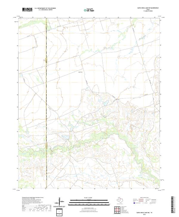
2022 Santa Rosa Lake NW
Wilbarger County, TX
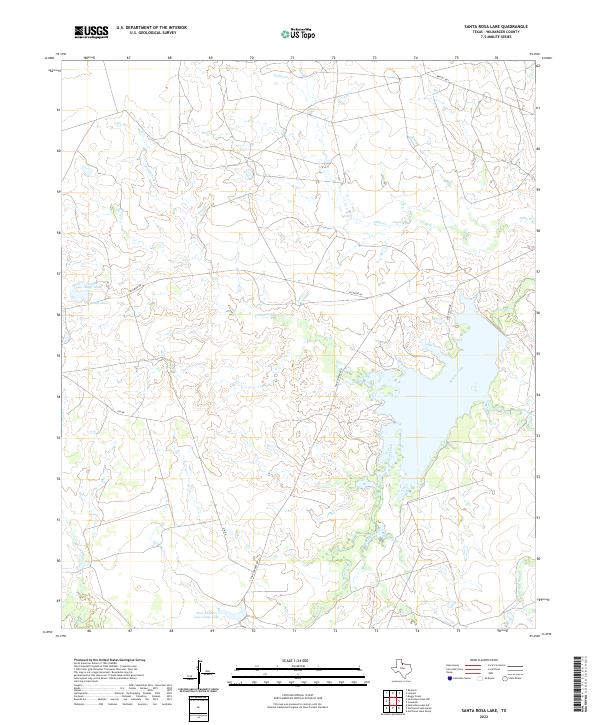
2022 Santa Rosa Lake
Wilbarger County, TX
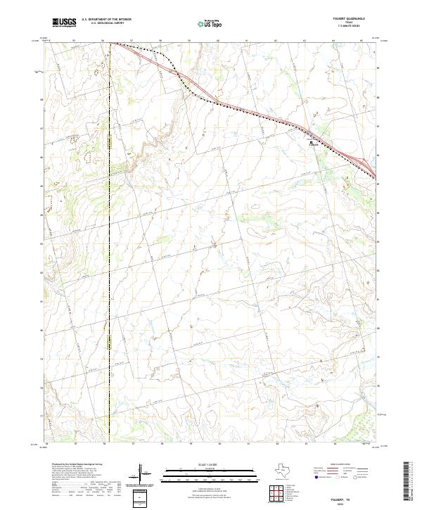
2022 Tolbert
Wilbarger County, TX