Old Maps of Liberty Hill, Texas for Genealogy
Trace your family roots with 15 historic maps of Liberty Hill. These high-res maps reveal old neighborhoods, homesites, landmarks, and streets — helping you uncover where your ancestors lived and how the area evolved over time.
- Explore historic neighborhoods: Identify where your relatives may have lived in the 1800s or 1900s.
- Compare maps over time: Trace the changes in streets, buildings, and landmarks for multi-generational research.
- Perfect for genealogy & ancestry research: Used by family historians and researchers to map out lineage and migration.
These maps are an incredible resource for exploring your personal connection to Liberty Hill's past.
Liberty Hill, TX maps
(15)- 1893 Map of Georgetown
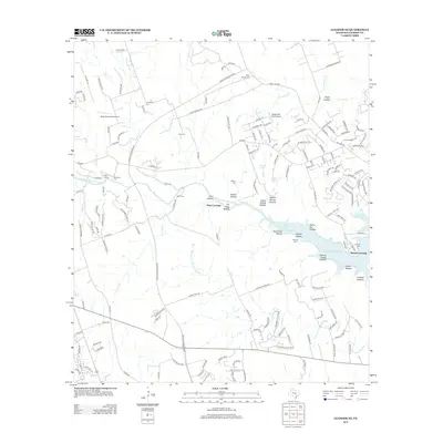
 1893 Georgetown1893 Print · USGSCentral Texas in the late 1800s was a landscape in flux as rail lines reshaped old frontier settlements. Genealogists can trace the shift from riverside villages like Bagdad and Old Round Rock to new rail hubs such as Leander and Hutto.5 unique versions available
 - 1954 Map of Austin, 1964 Print
 1954 Austin1964 Print · USGSCentral Texas is captured during a period of steady growth as the capital city and its neighboring farm towns began to modernize. Researchers can trace historic rail corridors like the Southern Pacific RR or locate landmarks such as Bergstrom Air Force Base and Pilot Knob.4 unique versions available
 - 1962 Map of Liberty Hill, 1966 Print
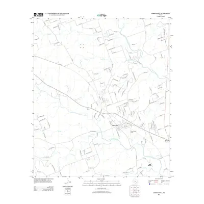
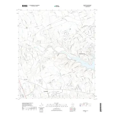
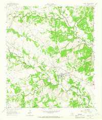 1962 Liberty Hill1966 Print · USGSThe rural landscape of Liberty Hill and Seward Junction is captured in the early sixties as the railroad era still shaped the hill country. Researchers can find family-named landmarks and old burial grounds like Buck Cem and Liberty Hill Cem.2 unique versions available
 - 1962 Map of Leander NE, 1966 Print
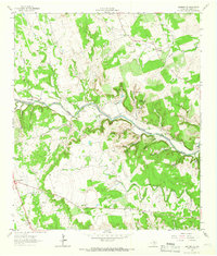 1962 Leander NE1966 Print · USGSThe North Fork of the San Gabriel River system defines this Williamson County landscape in the early sixties. Genealogists can trace family names at Anderson Cem and Bullion Cem, or locate landmarks like Union Chapel and Seward Junction.4 unique versions available
 - 1985 Map of Taylor, 1986 Print
 1985 Taylor1986 Print · USGSWilliamson and Bell counties in the mid-eighties reveal a landscape where the cattle and cotton economy met burgeoning rail infrastructure. Genealogists and historians can trace the paths of the Missouri Pacific railroad through unique hamlets like Ding Dong, Frame Switch, and Beyersville.2 unique versions available
 - 2010 Map of Liberty Hill, 2010 Print
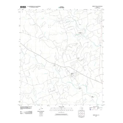 2010 Liberty Hill2010 Print · USGSCovers Liberty Hill, including Leander, Seward Junction, and other nearby areas
 - 2010 Map of Leander NE, 2010 Print
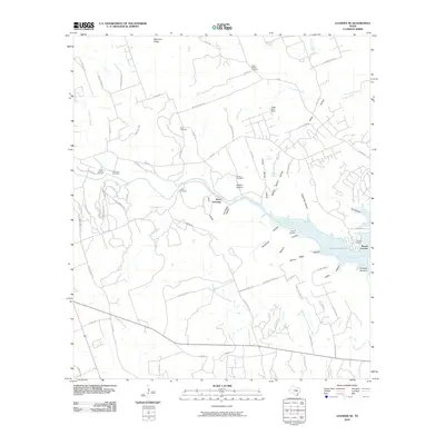 2010 Leander NE2010 Print · USGSCovers Liberty Hill, including Georgetown, Leander, and other nearby areas
 - 2013 Map of Liberty Hill, 2013 Print
 2013 Liberty Hill2013 Print · USGSCovers Liberty Hill, including Leander, Seward Junction, and other nearby areas
 - 2013 Map of Leander NE, 2013 Print
 2013 Leander NE2013 Print · USGSCovers Liberty Hill, including Georgetown, Leander, and other nearby areas
 - 2016 Map of Liberty Hill, 2016 Print
 2016 Liberty Hill2016 Print · USGSCovers Liberty Hill, including Leander, Seward Junction, and other nearby areas
 - 2016 Map of Leander NE, 2016 Print
 2016 Leander NE2016 Print · USGSCovers Liberty Hill, including Georgetown, Leander, and other nearby areas
 - 2019 Map of Leander NE, 2019 Print
 2019 Leander NE2019 Print · USGSCovers Liberty Hill, including Georgetown, Leander, and other nearby areas
 - 2019 Map of Liberty Hill, 2019 Print
 2019 Liberty Hill2019 Print · USGSCovers Liberty Hill, including Leander, Seward Junction, and other nearby areas
 - 2022 Map of Leander NE, 2022 Print
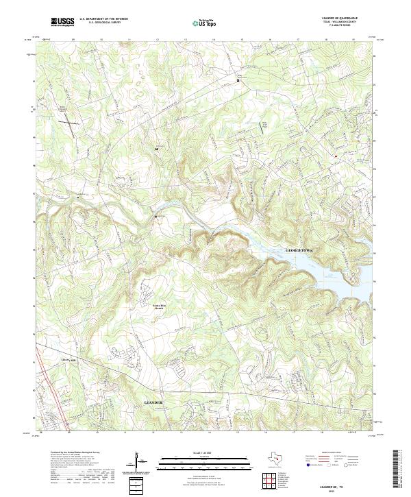 2022 Leander NE2022 Print · USGSWilliamson County is captured here during a period of rapid suburban expansion north of Austin. Genealogists and local historians can trace rural roots at Rocky Hollow Cem and Hunt Cem while observing the growth of Santa Rita Ranch.
 - 2022 Map of Liberty Hill, 2022 Print
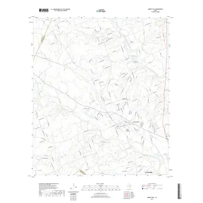
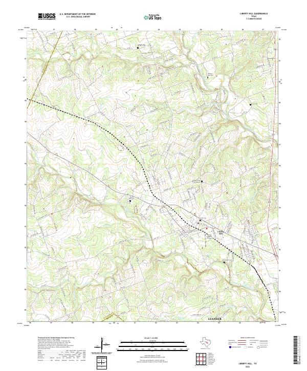 2022 Liberty Hill2022 Print · USGSLiberty Hill and the surrounding Texas Hill Country are captured here in a period of transition between its ranching roots and modern growth. Genealogists can locate several historic burial sites, including Williams-Buck Cem and Smith Cem, while aviators can find the Flying H Ranch Airport.
End of results
Showing maps 1-15 of 15
Top cities near Liberty Hill
- Austin historical maps
- Round Rock historical maps
- Georgetown historical maps
- Pflugerville historical maps
- Cedar Park historical maps
- Leander historical maps
See more
Top neighborhoods of Liberty Hill
Frequently asked questions
- What are the different types of historical maps available for Liberty Hill?
- What is the oldest map of Liberty Hill?
- Where can I purchase historical maps of Liberty Hill for my home or office?
- Where can I download high-res historical maps of Liberty Hill?
- Are there historical topographic maps available for Liberty Hill?
- Is there historical aerial imagery available for Liberty Hill?
- Where are historical maps of Liberty Hill sourced from?