Old Maps of Taylor, Texas for Academic Research
Study the evolution of Taylor with 29 high-resolution historic maps. Whether you're teaching, researching, or modeling changes in land use, these maps provide essential visual documentation of urban, environmental, and geographic change.
- Analyze long-term change: Track patterns in development, transportation, and natural features.
- Ideal for environmental or urban studies: Support academic projects with primary historical map data.
- Use in the classroom or lab: Educators and researchers rely on these maps to bring historical context to life.
These maps are a powerful tool for teaching, research, and visualizing how Taylor has changed over the decades.
Taylor, TX maps
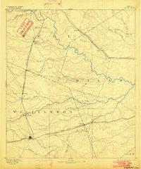
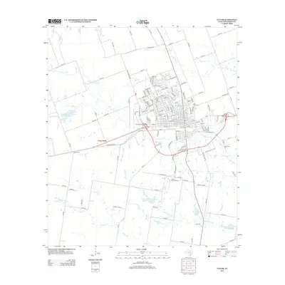
(29)- 1885 Map of Taylor
 1885 Taylor1885 Print · USGSCentral Texas in the late nineteenth century was a landscape in transition as railroads redefined the old cotton frontier. Genealogists and historians can trace the early growth of rail towns like Taylor and Granger, or find vanished rural outposts such as Ad Hall and Davilla.
 - 1887 Map of Taylor
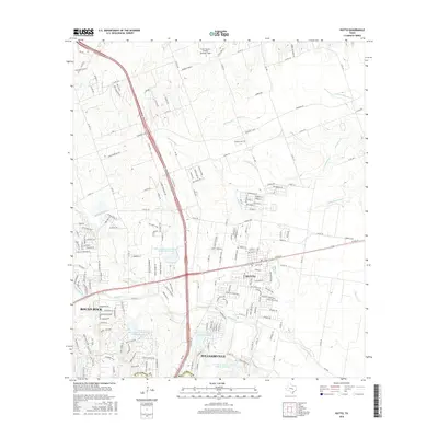
 1887 Taylor1887 Print · USGSCentral Texas is captured in the late nineteenth century as the railroad began to redefine the blackland prairie. Genealogists can locate early settlements like Davilla and Granger or trace family lands near the San Gabriel River and Taylor.
 - 1893 Map of Georgetown
 1893 Georgetown1893 Print · USGSCentral Texas in the late 1800s was a landscape in flux as rail lines reshaped old frontier settlements. Genealogists can trace the shift from riverside villages like Bagdad and Old Round Rock to new rail hubs such as Leander and Hutto.5 unique versions available
 - 1894 Map of Taylor, 1902 Print
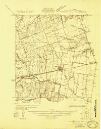
 1894 Taylor1902 Print · USGSCentral Texas at the end of the nineteenth century was a landscape of expanding rail lines and established river settlements. Genealogists and historians can trace the growth of Taylor and Granger, or locate smaller junctions like Ad Hall and Buckholts along the Gulf Colorado and Santa Fe Railroad.4 unique versions available
 - 1925 Map of Georgetown 4-d
 1925 Georgetown 4-d1925 Print · USGSWilliamson County in the mid-1920s shows a landscape of developing prairie towns and rural cotton gins. Genealogists can trace early homesteads and landmarks like Stony Point School, Bell Gin, and the historic Hutto townsite.
 - 1928 Map of Round Rock
 1928 Round Rock1928 Print · USGSWilliamson County in the mid-twenties shows a landscape of developing rail hubs and scattered rural school districts. Genealogists can locate family landmarks like Bell Gin, Old Round Rock, and the Strickland Grove Church.2 unique versions available
 - 1949 Map of Round Rock, 1967 Print
 1949 Round Rock1967 Print · USGSCentral Texas in the late 1940s reveals a landscape defined by cotton ginning and the heavy influence of competing rail lines. Genealogists can locate family landmarks like Palm Valley Ch, the Bell Gin, and rural schools such as Palacky Sch or Bell Sch.2 unique versions available
 - 1951 Map of Round Rock
 1951 Round Rock1951 Print · USGSWilliamson County at mid-century reveals a landscape of thriving rural communities and intersecting rail lines before the era of modern suburban expansion. Local researchers can pinpoint family landmarks like Palm Valley Ch, trace the old settlement at Old Round Rock, or locate the Bell Gin.
 - 1954 Map of Austin, 1964 Print
 1954 Austin1964 Print · USGSCentral Texas is captured during a period of steady growth as the capital city and its neighboring farm towns began to modernize. Researchers can trace historic rail corridors like the Southern Pacific RR or locate landmarks such as Bergstrom Air Force Base and Pilot Knob.4 unique versions available
 - 1964 Map of Taylor, 1966 Print
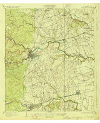
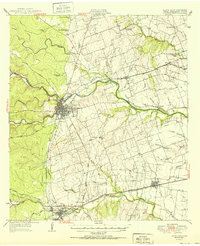
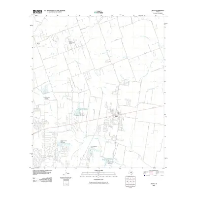
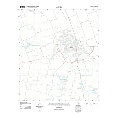
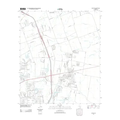
 1964 Taylor1966 Print · USGSTaylor was a thriving railroad and medical hub in the mid-1960s, centered on the crossing of two major rail lines. Genealogists and local historians can trace the town's social fabric through the St Marys Cem, The Johns Hospital, and the outlying settlement of Frame Switch.3 unique versions available
 - 1964 Map of Thrall, 1966 Print
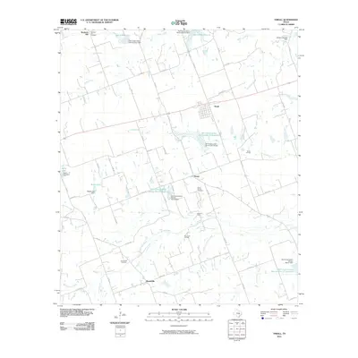
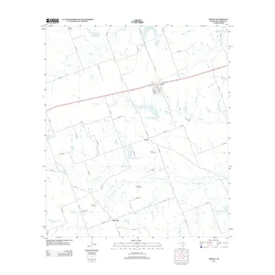
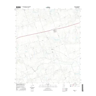
 1964 Thrall1966 Print · USGSEast of Taylor in the mid-1960s, this area of Williamson County shows a landscape of steady oil production and rail-side farming towns. Genealogists and historians can locate family sites at Christ Ch Cem or trace the early footprint of the Thrall Oil Field and the Missouri Pacific line.2 unique versions available
 - 1982 Map of Hutto
 1982 Hutto1982 Print · USGSHutto was a developing rail-and-creek town in the early 1980s, anchored by the Missouri Pacific line and the fertile banks of Brushy Creek. Genealogists can trace family footprints across Old Shiloh Cem, Saul Cem, and Smith Chapel.
 - 1985 Map of Taylor, 1986 Print
 1985 Taylor1986 Print · USGSWilliamson and Bell counties in the mid-eighties reveal a landscape where the cattle and cotton economy met burgeoning rail infrastructure. Genealogists and historians can trace the paths of the Missouri Pacific railroad through unique hamlets like Ding Dong, Frame Switch, and Beyersville.2 unique versions available
 - 1987 Map of Hutto
 1987 Hutto1987 Print · USGSHutto and the surrounding Williamson County ranch lands are captured here in the late eighties as the area maintained its rural character. Genealogists can trace family names through landmarks like Hutto City Cem, Saul Cem, and Smith Chapel.
 - 2010 Map of Hutto, 2010 Print
 2010 Hutto2010 Print · USGSCovers Taylor, including Round Rock, Georgetown, and other nearby areas
 - 2010 Map of Thrall, 2010 Print
 2010 Thrall2010 Print · USGSCovers Taylor, including Thrall, Beyersville, and other nearby areas
 - 2010 Map of Taylor, 2010 Print
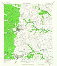
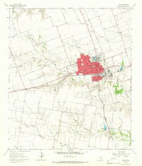
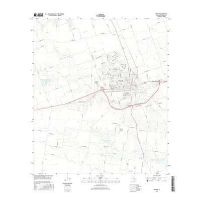
 2010 Taylor2010 Print · USGSCovers Taylor, including Hutto, Frame Switch, and other nearby areas
 - 2012 Map of Thrall, 2012 Print
 2012 Thrall2012 Print · USGSCovers Taylor, including Thrall, Beyersville, and other nearby areas
 - 2013 Map of Hutto, 2013 Print
 2013 Hutto2013 Print · USGSCovers Taylor, including Round Rock, Georgetown, and other nearby areas
 - 2013 Map of Taylor, 2013 Print
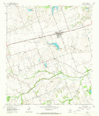
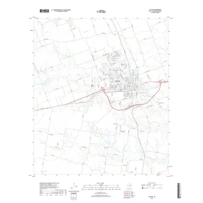
 2013 Taylor2013 Print · USGSCovers Taylor, including Hutto, Frame Switch, and other nearby areas
 - 2016 Map of Thrall, 2016 Print
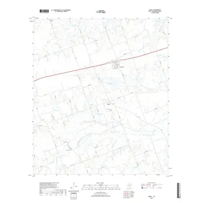
 2016 Thrall2016 Print · USGSCovers Taylor, including Thrall, Beyersville, and other nearby areas
 - 2016 Map of Hutto, 2016 Print
 2016 Hutto2016 Print · USGSCovers Taylor, including Round Rock, Georgetown, and other nearby areas
 - 2016 Map of Taylor, 2016 Print
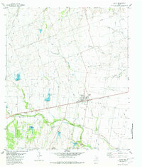
 2016 Taylor2016 Print · USGSCovers Taylor, including Hutto, Frame Switch, and other nearby areas
 - 2019 Map of Taylor, 2019 Print
 2019 Taylor2019 Print · USGSCovers Taylor, including Hutto, Frame Switch, and other nearby areas
 - 2019 Map of Thrall, 2019 Print
 2019 Thrall2019 Print · USGSCovers Taylor, including Thrall, Beyersville, and other nearby areas
Showing maps 1-25 of 29
Top cities near Taylor
- Austin historical maps
- Round Rock historical maps
- Georgetown historical maps
- Pflugerville historical maps
- Hutto historical maps
- Manor historical maps
See more
Top neighborhoods of Taylor
Frequently asked questions
- What are the different types of historical maps available for Taylor?
- What is the oldest map of Taylor?
- Where can I purchase historical maps of Taylor for my home or office?
- Where can I download high-res historical maps of Taylor?
- Are there historical topographic maps available for Taylor?
- Is there historical aerial imagery available for Taylor?
- Where are historical maps of Taylor sourced from?