Old Maps of East Heights, Wink for Academic Research
Study the evolution of East Heights with 9 high-resolution historic maps. Whether you're teaching, researching, or modeling changes in land use, these maps provide essential visual documentation of urban, environmental, and geographic change.
- Analyze long-term change: Track patterns in development, transportation, and natural features.
- Ideal for environmental or urban studies: Support academic projects with primary historical map data.
- Use in the classroom or lab: Educators and researchers rely on these maps to bring historical context to life.
These maps are a powerful tool for teaching, research, and visualizing how East Heights has changed over the decades.
East Heights, Wink maps
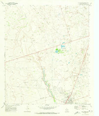
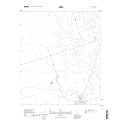
(9)- 1954 Map of Pecos, 1964 Print
 1954 Pecos1964 Print · USGSMid-century West Texas reveals a landscape of expanding oil fields and cattle ranching along the winding Pecos River. Local historians can trace family ranch lands like Goodrich Ranch, follow the Texas and Pacific rails, or locate the historic Horsehead Crossing.3 unique versions available
 - 1957 Map of Pecos
 1957 Pecos1957 Print · USGSWest Texas in the mid-fifties is a landscape of desert oil fields and vital rail corridors. Researchers can trace the sprawling Pyote Air Force Base, the historic Horsehead Crossing, and the rail stops at Mentone and Saragosa.
 - 1970 Map of Wink North, 1973 Print
 1970 Wink North1973 Print · USGSWinkler County ranching and oil country are shown in detail as they appeared in the early seventies. Trace the historic Old RR Grade and find family-named landmarks like Smith Arena or isolated cattle-country outposts like Forty Windmills.
 - 1986 Map of Kermit
 1986 Kermit1986 Print · USGSWest Texas during the mid-eighties was a landscape defined by the energy industry and the winding Pecos River. Trace the development of Oil Field networks near Kermit, the historic Horsehead Crossing, and the rail lines of the Missouri Pacific.2 unique versions available
 - 2010 Map of Wink North, 2010 Print
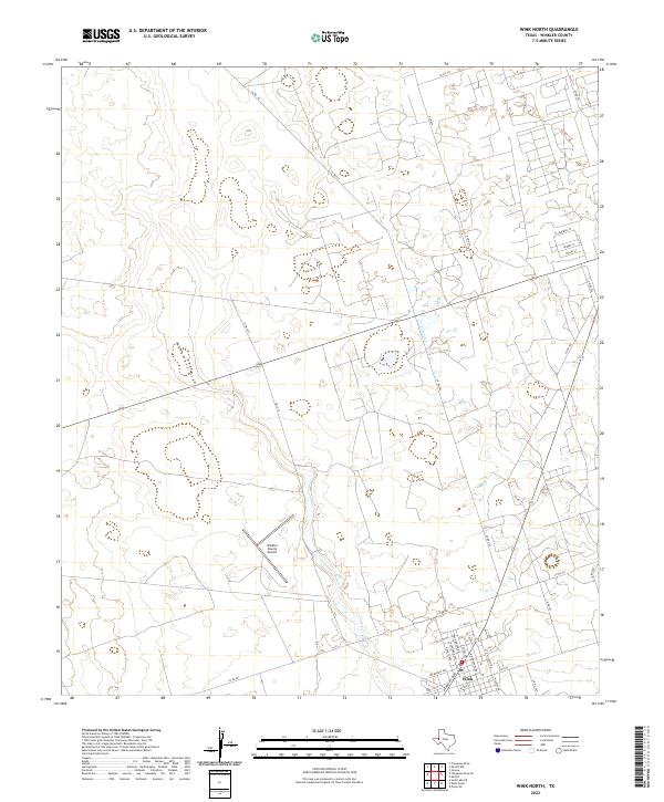
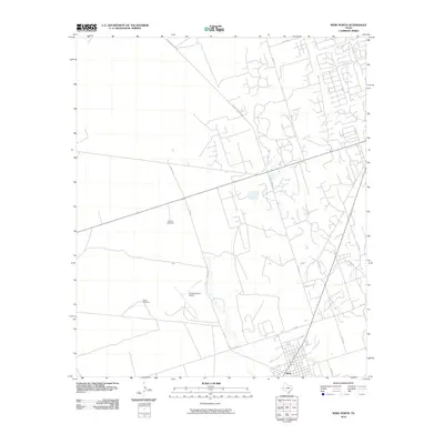 2010 Wink North2010 Print · USGSCovers East Heights, including Wink, Winkler County, and other nearby areas
 - 2012 Map of Wink North, 2012 Print
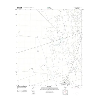 2012 Wink North2012 Print · USGSCovers East Heights, including Wink, Winkler County, and other nearby areas
 - 2016 Map of Wink North, 2016 Print
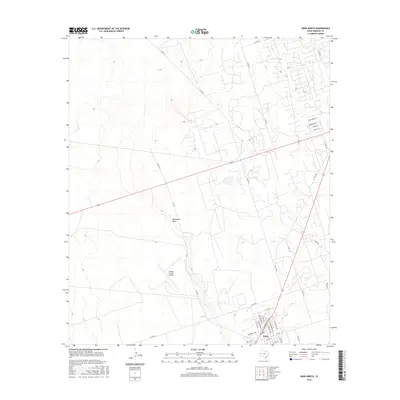 2016 Wink North2016 Print · USGSCovers East Heights, including Wink, Winkler County, and other nearby areas
 - 2019 Map of Wink North, 2019 Print
 2019 Wink North2019 Print · USGSCovers East Heights, including Wink, Winkler County, and other nearby areas
 - 2022 Map of Wink North, 2022 Print
 2022 Wink North2022 Print · USGSWink and the surrounding desert of Winkler County are shown here in the early 2020s. Researchers can trace the town's modern layout along Ray Orbison Dr and locate regional hubs like the Winkler County Airport and the course of Monument Draw.
End of results
Showing maps 1-9 of 9
Frequently asked questions
- What are the different types of historical maps available for East Heights?
- What is the oldest map of East Heights?
- Where can I purchase historical maps of East Heights for my home or office?
- Where can I download high-res historical maps of East Heights?
- Are there historical topographic maps available for East Heights?
- Is there historical aerial imagery available for East Heights?
- Where are historical maps of East Heights sourced from?