Old Maps of Western Heights, Wink
Explore 9 old maps of Western Heights, spanning from 1954 to today. These high-resolution historic maps reveal how streets, neighborhoods, landmarks, and natural features evolved over time — perfect for genealogy, metal detecting, research, and local history exploration.
What you can do with these maps:
- See how Western Heights changed over time: Compare historical maps to modern-day views to trace roads, homesites, rail lines & more.
- View detailed metadata: Each map includes creators, publishers, year, scale, and archive source.
- Overlay maps with satellite & LiDAR: Visualize the past alongside modern tools to explore terrain & human change.
- Trusted historical sources: Maps sourced from the USGS, Library of Congress, and other archives.
- Access maps your way: View online, download high-res files, or order prints for personal or research use.
Start exploring old maps of Western Heights to uncover forgotten places, hidden landmarks, and the deep history beneath your feet.
Western Heights, Wink maps
(9)- 1954 Map of Pecos, 1964 Print
 1954 Pecos1964 Print · USGSMid-century West Texas reveals a landscape of expanding oil fields and cattle ranching along the winding Pecos River. Local historians can trace family ranch lands like Goodrich Ranch, follow the Texas and Pacific rails, or locate the historic Horsehead Crossing.3 unique versions available
 - 1957 Map of Pecos
 1957 Pecos1957 Print · USGSWest Texas in the mid-fifties is a landscape of desert oil fields and vital rail corridors. Researchers can trace the sprawling Pyote Air Force Base, the historic Horsehead Crossing, and the rail stops at Mentone and Saragosa.
 - 1970 Map of Wink North, 1973 Print
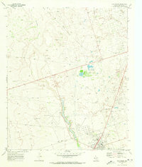 1970 Wink North1973 Print · USGSWinkler County ranching and oil country are shown in detail as they appeared in the early seventies. Trace the historic Old RR Grade and find family-named landmarks like Smith Arena or isolated cattle-country outposts like Forty Windmills.
 - 1986 Map of Kermit
 1986 Kermit1986 Print · USGSWest Texas during the mid-eighties was a landscape defined by the energy industry and the winding Pecos River. Trace the development of Oil Field networks near Kermit, the historic Horsehead Crossing, and the rail lines of the Missouri Pacific.2 unique versions available
 - 2010 Map of Wink North, 2010 Print
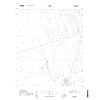
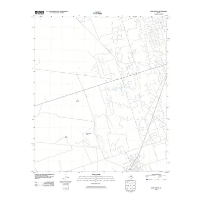 2010 Wink North2010 Print · USGSCovers Western Heights, including Wink, Winkler County, and other nearby areas
 - 2012 Map of Wink North, 2012 Print
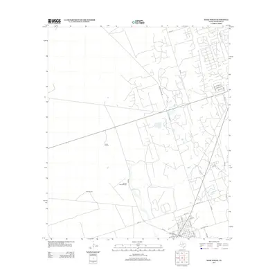 2012 Wink North2012 Print · USGSCovers Western Heights, including Wink, Winkler County, and other nearby areas
 - 2016 Map of Wink North, 2016 Print
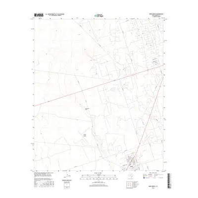 2016 Wink North2016 Print · USGSCovers Western Heights, including Wink, Winkler County, and other nearby areas
 - 2019 Map of Wink North, 2019 Print
 2019 Wink North2019 Print · USGSCovers Western Heights, including Wink, Winkler County, and other nearby areas
 - 2022 Map of Wink North, 2022 Print
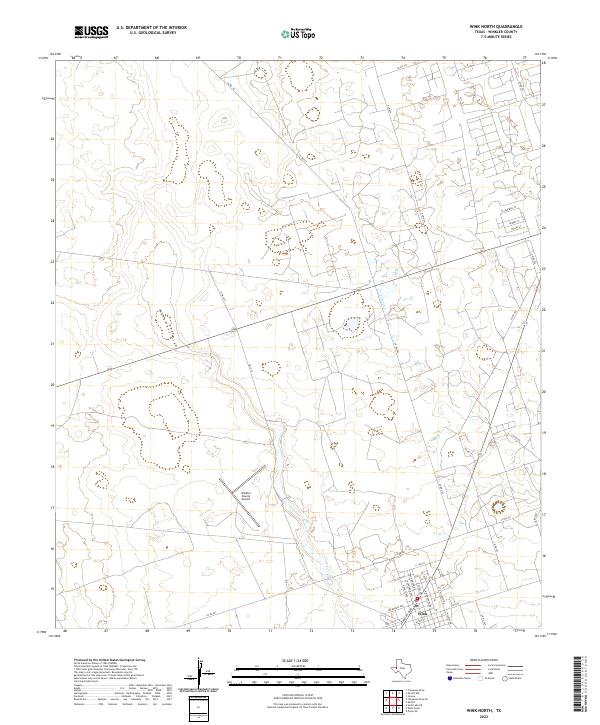 2022 Wink North2022 Print · USGSWink and the surrounding desert of Winkler County are shown here in the early 2020s. Researchers can trace the town's modern layout along Ray Orbison Dr and locate regional hubs like the Winkler County Airport and the course of Monument Draw.
End of results
Showing maps 1-9 of 9
Frequently asked questions
- What are the different types of historical maps available for Western Heights?
- What is the oldest map of Western Heights?
- Where can I purchase historical maps of Western Heights for my home or office?
- Where can I download high-res historical maps of Western Heights?
- Are there historical topographic maps available for Western Heights?
- Is there historical aerial imagery available for Western Heights?
- Where are historical maps of Western Heights sourced from?