Old Maps of Allred, Texas for Genealogy
Trace your family roots with 10 historic maps of Allred. These high-res maps reveal old neighborhoods, homesites, landmarks, and streets — helping you uncover where your ancestors lived and how the area evolved over time.
- Explore historic neighborhoods: Identify where your relatives may have lived in the 1800s or 1900s.
- Compare maps over time: Trace the changes in streets, buildings, and landmarks for multi-generational research.
- Perfect for genealogy & ancestry research: Used by family historians and researchers to map out lineage and migration.
These maps are an incredible resource for exploring your personal connection to Allred's past.
Allred, TX maps
(10)- 1954 Map of Hobbs, 1963 Print
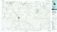
 1954 Hobbs1963 Print · USGSThe High Plains and Permian Basin transition is captured here at the height of the mid-century energy boom. Genealogists and industrial historians can trace the foundations of Humble City, locate the Potash Mine and Plant, and follow the Texas-New Mexico RR.2 unique versions available
 - 1958 Map of Hobbs
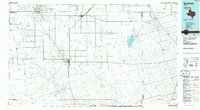
 1958 Hobbs1958 Print · USGSThe High Plains of the Texas-New Mexico border are shown here during the height of the mid-century oil boom. Genealogists and historians can trace the development of Hobbs, Lovington, and Jal, alongside ranching landmarks like James Ranch and the early Texas-New Mexico Railway.
 - 1971 Map of Higginbotham, 1973 Print
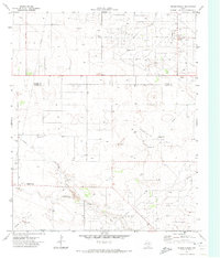 1971 Higginbotham1973 Print · USGSGaines County oil country is captured here in the early seventies, showing the industrial pulse of the Permian Basin. Researchers can trace the footprints of Higginbotham and Allred or locate specific sites within the Wasson Oil Field and Wards Draw.
 - 1985 Map of Seminole, 1986 Print
 1985 Seminole1986 Print · USGSGaines County and its neighbors are captured in the mid-eighties during a period of sustained energy production and agricultural persistence. Researchers can trace the sprawling oil fields and rail stops along the Atchison Topeka and Santa Fe near Denver City and Mungerville.
 - 1992 Map of Seminole
 1992 Seminole1992 Print · USGSThe Texas high plains in the early nineties show a landscape of heavy oil production and rural crossroads. Trace old family connections near Seminole, Denver City, or Seagraves, and explore the natural geography of Cedar (Salt) Lake.
 - 2010 Map of Higginbotham, 2010 Print
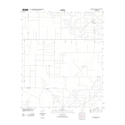
 2010 Higginbotham2010 Print · USGSCovers Allred, including Higginbotham, Gaines County, and other nearby areas
 - 2012 Map of Higginbotham, 2012 Print
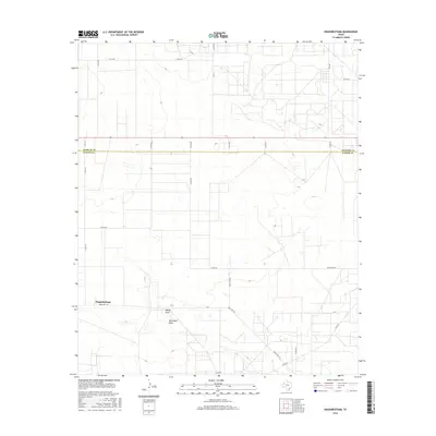
 2012 Higginbotham2012 Print · USGSCovers Allred, including Higginbotham, Gaines County, and other nearby areas
 - 2016 Map of Higginbotham, 2016 Print
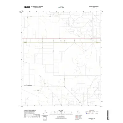
 2016 Higginbotham2016 Print · USGSCovers Allred, including Higginbotham, Gaines County, and other nearby areas
 - 2019 Map of Higginbotham, 2019 Print
 2019 Higginbotham2019 Print · USGSCovers Allred, including Higginbotham, Gaines County, and other nearby areas
 - 2022 Map of Higginbotham, 2022 Print
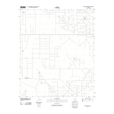
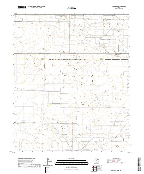 2022 Higginbotham2022 Print · USGSThe West Texas high plains near the border of Gaines and Yoakum counties are captured here in the early twenty-first century. Researchers can trace the layout of Higginbotham and the course of regional drainages like Wards Draw and Wardswell Draw.
End of results
Showing maps 1-10 of 10
Top cities near Allred
Frequently asked questions
- What are the different types of historical maps available for Allred?
- What is the oldest map of Allred?
- Where can I purchase historical maps of Allred for my home or office?
- Where can I download high-res historical maps of Allred?
- Are there historical topographic maps available for Allred?
- Is there historical aerial imagery available for Allred?
- Where are historical maps of Allred sourced from?